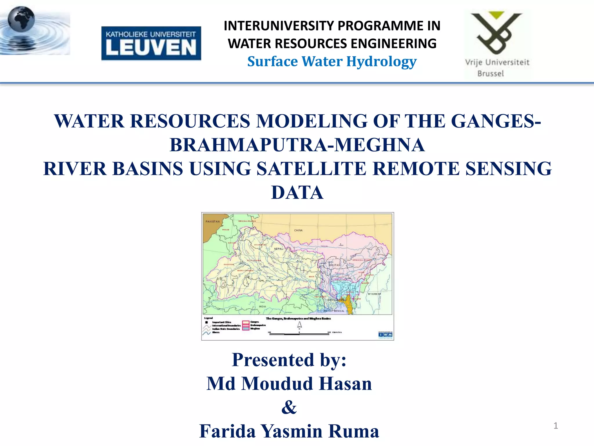
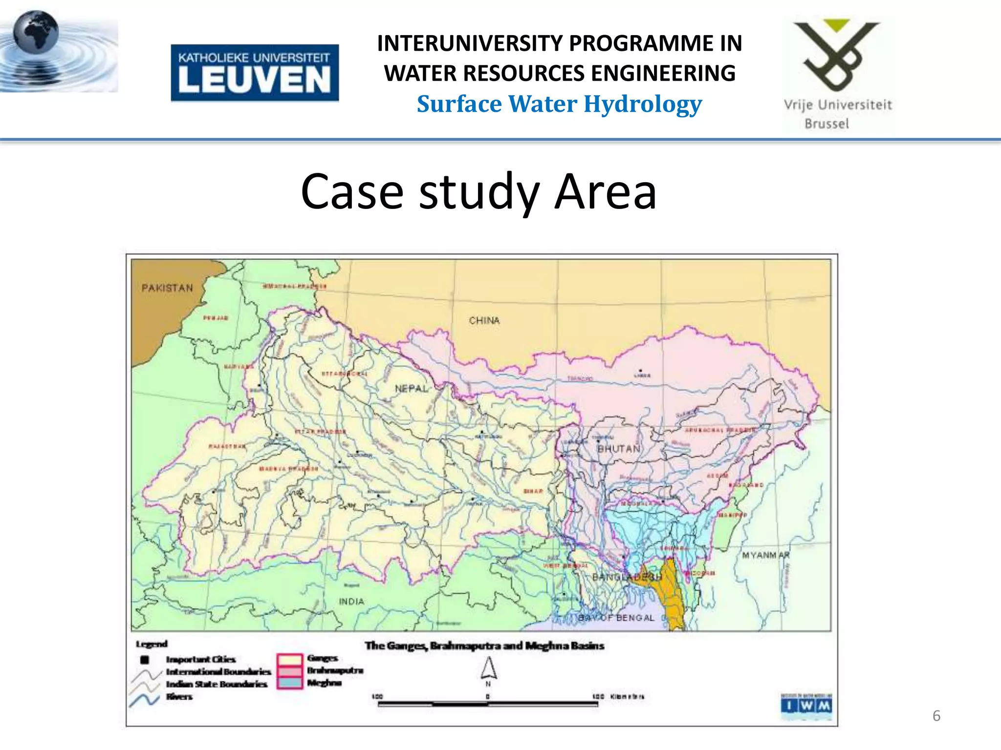
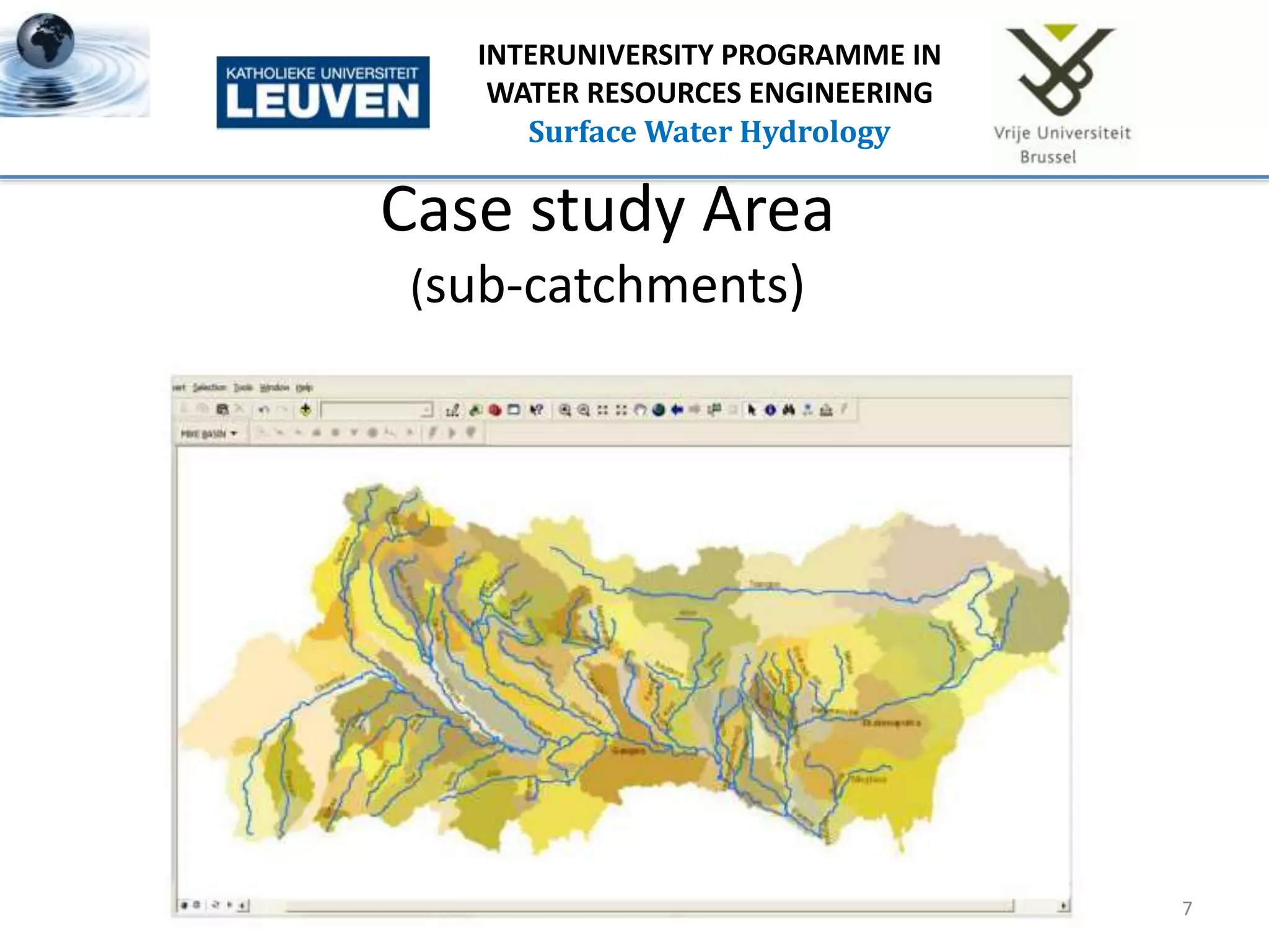
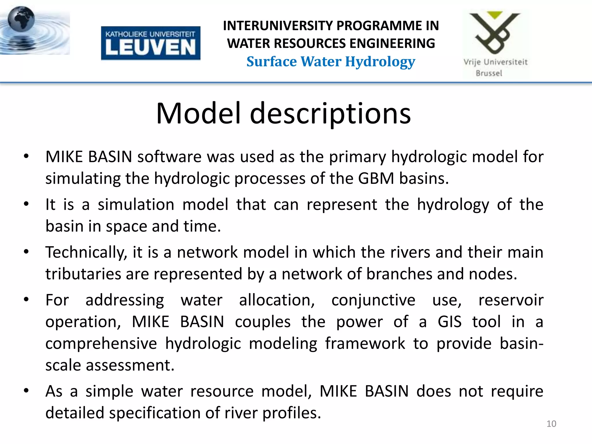
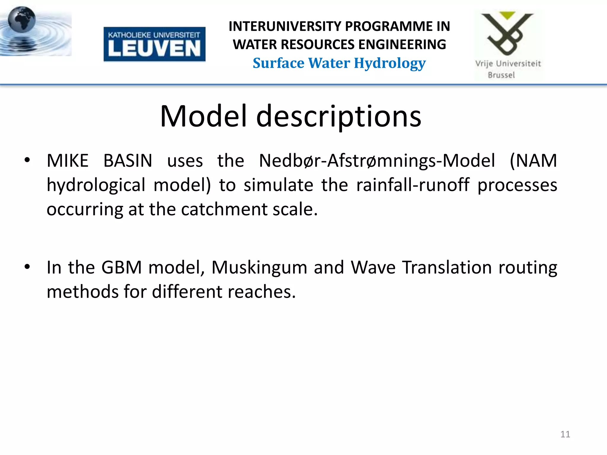
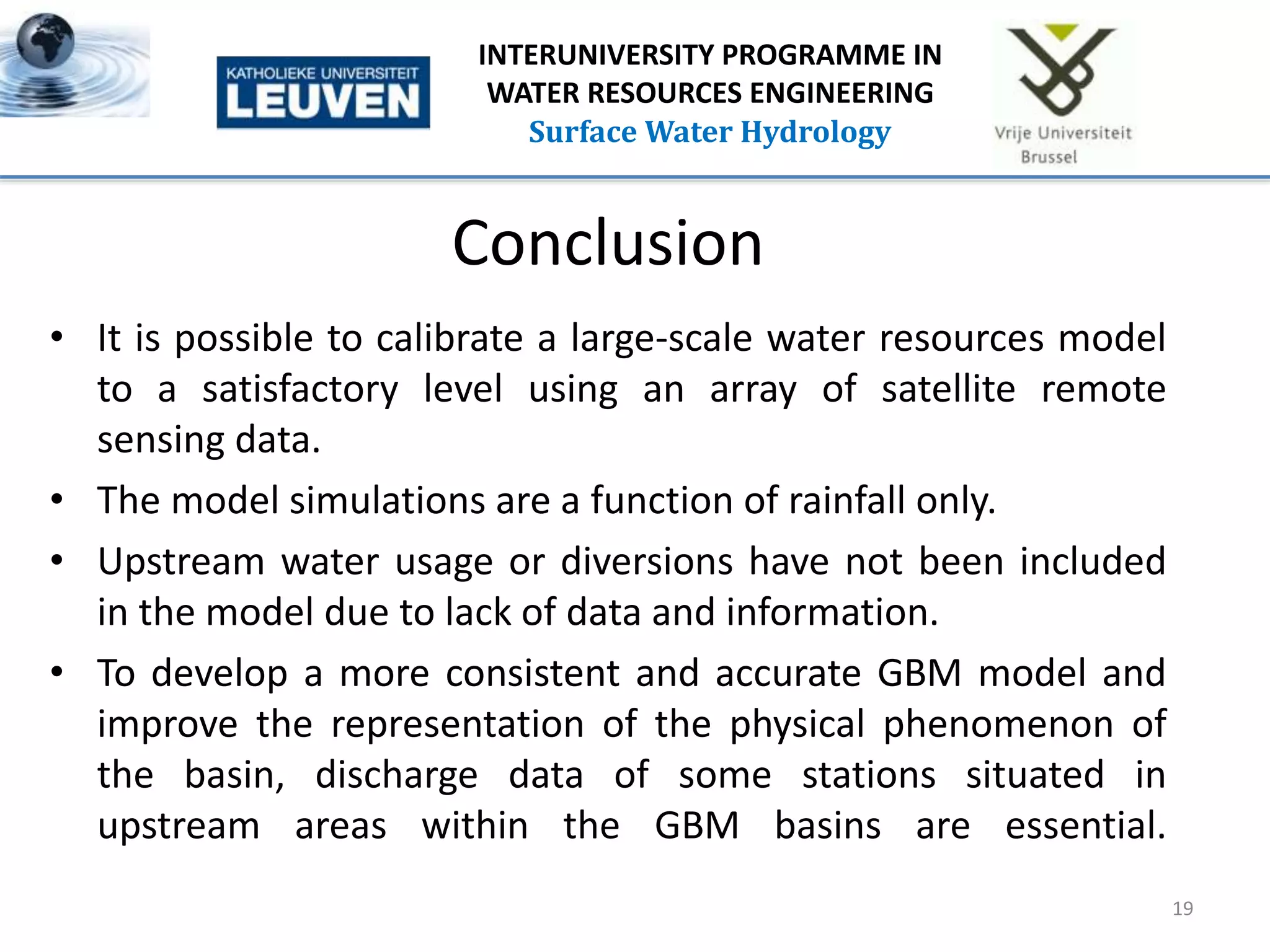
1
INTERUNIVERSITY PROGRAMME IN
WATER RESOURCES ENGINEERING
Surface Water Hydrology
WATER RESOURCES MODELING OF THE GANGES-
BRAHMAPUTRA-MEGHNA
RIVER BASINS USING SATELLITE REMOTE SENSING
DATA
Presented by:
Md Moudud Hasan
&
Farida Yasmin Ruma
Contents
• Introduction
• Objectives
• Case Study Area
• Mass Balance Analysis Ganges Basin
• Ganges Basin Budyko Curve
• Model Descriptions
• Data For Model Set Up
• Data Sources
• Calibration & Validation
• Conclusion
• References
2
INTERUNIVERSITY PROGRAMME IN
WATER RESOURCES ENGINEERING
Surface Water Hydrology
Introduction
• The Ganges, Brahmaputra, and Meghna (GBM) rivers
originate in the Himalayan and Vindhya ranges, flow through
China, Bhutan, Nepal, India, and Bangladesh and ultimately
join the Bay of Bengal.
• About 92-93% of the surface water flowing through
Bangladesh is generated from the upstream regions of GBM
that are transboundary to the country.
• Hence, the study and understanding of cross-border hydro-
meteorological processes, interactions, and interventions, is
very important for comprehensive water resources
management, planning, impact assessment, and flood
forecasting in Bangladesh. 3
INTERUNIVERSITY PROGRAMME IN
WATER RESOURCES ENGINEERING
Surface Water Hydrology
Objectives
• To set up a water resources management model over the
GBM basins.
• The model is set up with the objective of providing
Bangladesh a framework for assessing proposed water
diversion and redistribution scenarios in the upstream
transboundary regions and derive quantitative impacts on
water availability based on ‘‘what-if’’ scenarios.
•
4
INTERUNIVERSITY PROGRAMME IN
WATER RESOURCES ENGINEERING
Surface Water Hydrology
Case study Area
5
INTERUNIVERSITY PROGRAMME IN
WATER RESOURCES ENGINEERING
Surface Water Hydrology
• Area: 1.75 million km2
• Average annual runoff : 1,200 km3
• Subdivided into 148 sub-catchments with area
ranging from 415 to 96,000 km2;
• 109 of these catchments are within the
Ganges basin, 34 in the Brahmaputra basin,
and 5 in the Meghna basin.
Case study Area
6
INTERUNIVERSITY PROGRAMME IN
WATER RESOURCES ENGINEERING
Surface Water Hydrology
Case study Area
(sub-catchments)
7
INTERUNIVERSITY PROGRAMME IN
WATER RESOURCES ENGINEERING
Surface Water Hydrology
Mass balance analysis Ganges basin
Rainfall
(mm/month)
Runoff
(mm/month)
AET
(mm/month)
Excess
(mm/month)
94.4 4.75 83.2 6.45
8
INTERUNIVERSITY PROGRAMME IN
WATER RESOURCES ENGINEERING
Surface Water Hydrology
Ganges basin Budyko curve
9
INTERUNIVERSITY PROGRAMME IN
WATER RESOURCES ENGINEERING
Surface Water Hydrology
Rainfall , P
(mm/month)
AET
(mm/month)
PET
(mm/month)
AET/P PET/P
94.4 83.2 117.92 0.88 1.25
Model descriptions
• MIKE BASIN software was used as the primary hydrologic model for
simulating the hydrologic processes of the GBM basins.
• It is a simulation model that can represent the hydrology of the
basin in space and time.
• Technically, it is a network model in which the rivers and their main
tributaries are represented by a network of branches and nodes.
• For addressing water allocation, conjunctive use, reservoir
operation, MIKE BASIN couples the power of a GIS tool in a
comprehensive hydrologic modeling framework to provide basin-
scale assessment.
• As a simple water resource model, MIKE BASIN does not require
detailed specification of river profiles. 10
INTERUNIVERSITY PROGRAMME IN
WATER RESOURCES ENGINEERING
Surface Water Hydrology
Model descriptions
• MIKE BASIN uses the Nedbør-Afstrømnings-Model (NAM
hydrological model) to simulate the rainfall-runoff processes
occurring at the catchment scale.
• In the GBM model, Muskingum and Wave Translation routing
methods for different reaches.
11
INTERUNIVERSITY PROGRAMME IN
WATER RESOURCES ENGINEERING
Surface Water Hydrology
Model descriptions
•
12
INTERUNIVERSITY PROGRAMME IN
WATER RESOURCES ENGINEERING
Surface Water Hydrology
DATA FOR MODEL SET UP
• Topography and Land Level Data
• Hydro-Meteorological Data
• Rainfall,
• Potential evapotranspiration (ET), and
• Temperature (for snowmelt considerations).
• Snowmelt and Glacier Data From Himalayas
• Discharge data
13
INTERUNIVERSITY PROGRAMME IN
WATER RESOURCES ENGINEERING
Surface Water Hydrology
DATA SOURCES
• Meteorological data inside Bangladesh territory:
– Bangladesh Meteorological Department (BMD) and
Bangladesh Water Development Board (BWDB).
• Meteorological data from upper riparian countries:
– Rainfall and climate data derived from meteorological
satellites and other secondary sources.
• GIS-based tools have been used to extract and process the
data to estimate average rainfall, ET, and temperature for
each sub-basin.
14
INTERUNIVERSITY PROGRAMME IN
WATER RESOURCES ENGINEERING
Surface Water Hydrology
Calibration & Validation
• Discharge data was used for calibration of
the GBM model.
• The final parameter was calibrated against
time series of hydrological observations at
– Hardinge Bridge on the Ganges,
– Bahadurabad on the Brahmaputra, and
– Amalshid on Barak, a tributary of the Meghna
for the period 2005- 2006.
• The basin model has been validated for 2007
15
INTERUNIVERSITY PROGRAMME IN
WATER RESOURCES ENGINEERING
Surface Water Hydrology
Calibration & Validation
16
INTERUNIVERSITY PROGRAMME IN
WATER RESOURCES ENGINEERING
Surface Water Hydrology
During the July to
September period,
simulated monthly
flow volume differs
from actual by
(-) 8% to (+) 20% in
the Ganges basin.
The correlation coefficient is 0.79
Calibration & Validation
17
INTERUNIVERSITY PROGRAMME IN
WATER RESOURCES ENGINEERING
Surface Water Hydrology
During the July to
September period,
simulated monthly
flow volume differs
from actual by
(-) 15% to (+) 12% in
the Brahmaputra
basin.
The correlation coefficient is 0.90
Calibration & Validation
18
INTERUNIVERSITY PROGRAMME IN
WATER RESOURCES ENGINEERING
Surface Water Hydrology
During the July to
September period,
simulated monthly
flow volume differs
from actual by
(-) 15% to (+) 19% in
the Meghna basin.
The correlation coefficient is 0.71
Conclusion
• It is possible to calibrate a large-scale water resources model
to a satisfactory level using an array of satellite remote
sensing data.
• The model simulations are a function of rainfall only.
• Upstream water usage or diversions have not been included
in the model due to lack of data and information.
• To develop a more consistent and accurate GBM model and
improve the representation of the physical phenomenon of
the basin, discharge data of some stations situated in
upstream areas within the GBM basins are essential.
19
INTERUNIVERSITY PROGRAMME IN
WATER RESOURCES ENGINEERING
Surface Water Hydrology
REFERENCES
1. Nishat, Bushra and S.M. Mahbubur Rahman, 2009. Water Resources Modeling of
the Ganges-BrahmaputraMeghna River Basins Using Satellite Remote Sensing
Data. Journal of the American Water Resources Association (JAWRA) 45(6):1313-
1327. DOI: 10.1111 ⁄ j.1752-1688.2009.00374.x
2. Syed, T. H., P. J. Webster, and J. S. Famiglietti (2014), Assessing variability of
evapotranspiration over the Ganga river basin using water balance computations,
Water Resour. Res., 50, 2551–2565, doi:10.1002/2013WR013518.
3. Mirza, M. Monirul Qader, R. A. Warrick, and N. J. Ericksen. 2003. “The Implications
of Climate Change on Floods of the Ganges, Brahmaputra and Meghna Rivers in
Bangladesh.” Climatic Change 57 (3): 287–318.
20
INTERUNIVERSITY PROGRAMME IN
WATER RESOURCES ENGINEERING
Surface Water Hydrology
21
INTERUNIVERSITY PROGRAMME IN
WATER RESOURCES ENGINEERING
Surface Water Hydrology
Data
•
22
INTERUNIVERSITY PROGRAMME IN
WATER RESOURCES ENGINEERING
Surface Water Hydrology

WATER RESOURCES MODELING OF THE GANGES-BRAHMAPUTRA-MEGHNA RIVER BASINS USING SATELLITE REMOTE SENSING DATA

  • 1.
    1 INTERUNIVERSITY PROGRAMME IN WATERRESOURCES ENGINEERING Surface Water Hydrology WATER RESOURCES MODELING OF THE GANGES- BRAHMAPUTRA-MEGHNA RIVER BASINS USING SATELLITE REMOTE SENSING DATA Presented by: Md Moudud Hasan & Farida Yasmin Ruma
  • 2.
    Contents • Introduction • Objectives •Case Study Area • Mass Balance Analysis Ganges Basin • Ganges Basin Budyko Curve • Model Descriptions • Data For Model Set Up • Data Sources • Calibration & Validation • Conclusion • References 2 INTERUNIVERSITY PROGRAMME IN WATER RESOURCES ENGINEERING Surface Water Hydrology
  • 3.
    Introduction • The Ganges,Brahmaputra, and Meghna (GBM) rivers originate in the Himalayan and Vindhya ranges, flow through China, Bhutan, Nepal, India, and Bangladesh and ultimately join the Bay of Bengal. • About 92-93% of the surface water flowing through Bangladesh is generated from the upstream regions of GBM that are transboundary to the country. • Hence, the study and understanding of cross-border hydro- meteorological processes, interactions, and interventions, is very important for comprehensive water resources management, planning, impact assessment, and flood forecasting in Bangladesh. 3 INTERUNIVERSITY PROGRAMME IN WATER RESOURCES ENGINEERING Surface Water Hydrology
  • 4.
    Objectives • To setup a water resources management model over the GBM basins. • The model is set up with the objective of providing Bangladesh a framework for assessing proposed water diversion and redistribution scenarios in the upstream transboundary regions and derive quantitative impacts on water availability based on ‘‘what-if’’ scenarios. • 4 INTERUNIVERSITY PROGRAMME IN WATER RESOURCES ENGINEERING Surface Water Hydrology
  • 5.
    Case study Area 5 INTERUNIVERSITYPROGRAMME IN WATER RESOURCES ENGINEERING Surface Water Hydrology • Area: 1.75 million km2 • Average annual runoff : 1,200 km3 • Subdivided into 148 sub-catchments with area ranging from 415 to 96,000 km2; • 109 of these catchments are within the Ganges basin, 34 in the Brahmaputra basin, and 5 in the Meghna basin.
  • 6.
    Case study Area 6 INTERUNIVERSITYPROGRAMME IN WATER RESOURCES ENGINEERING Surface Water Hydrology
  • 7.
    Case study Area (sub-catchments) 7 INTERUNIVERSITYPROGRAMME IN WATER RESOURCES ENGINEERING Surface Water Hydrology
  • 8.
    Mass balance analysisGanges basin Rainfall (mm/month) Runoff (mm/month) AET (mm/month) Excess (mm/month) 94.4 4.75 83.2 6.45 8 INTERUNIVERSITY PROGRAMME IN WATER RESOURCES ENGINEERING Surface Water Hydrology
  • 9.
    Ganges basin Budykocurve 9 INTERUNIVERSITY PROGRAMME IN WATER RESOURCES ENGINEERING Surface Water Hydrology Rainfall , P (mm/month) AET (mm/month) PET (mm/month) AET/P PET/P 94.4 83.2 117.92 0.88 1.25
  • 10.
    Model descriptions • MIKEBASIN software was used as the primary hydrologic model for simulating the hydrologic processes of the GBM basins. • It is a simulation model that can represent the hydrology of the basin in space and time. • Technically, it is a network model in which the rivers and their main tributaries are represented by a network of branches and nodes. • For addressing water allocation, conjunctive use, reservoir operation, MIKE BASIN couples the power of a GIS tool in a comprehensive hydrologic modeling framework to provide basin- scale assessment. • As a simple water resource model, MIKE BASIN does not require detailed specification of river profiles. 10 INTERUNIVERSITY PROGRAMME IN WATER RESOURCES ENGINEERING Surface Water Hydrology
  • 11.
    Model descriptions • MIKEBASIN uses the Nedbør-Afstrømnings-Model (NAM hydrological model) to simulate the rainfall-runoff processes occurring at the catchment scale. • In the GBM model, Muskingum and Wave Translation routing methods for different reaches. 11 INTERUNIVERSITY PROGRAMME IN WATER RESOURCES ENGINEERING Surface Water Hydrology
  • 12.
    Model descriptions • 12 INTERUNIVERSITY PROGRAMMEIN WATER RESOURCES ENGINEERING Surface Water Hydrology
  • 13.
    DATA FOR MODELSET UP • Topography and Land Level Data • Hydro-Meteorological Data • Rainfall, • Potential evapotranspiration (ET), and • Temperature (for snowmelt considerations). • Snowmelt and Glacier Data From Himalayas • Discharge data 13 INTERUNIVERSITY PROGRAMME IN WATER RESOURCES ENGINEERING Surface Water Hydrology
  • 14.
    DATA SOURCES • Meteorologicaldata inside Bangladesh territory: – Bangladesh Meteorological Department (BMD) and Bangladesh Water Development Board (BWDB). • Meteorological data from upper riparian countries: – Rainfall and climate data derived from meteorological satellites and other secondary sources. • GIS-based tools have been used to extract and process the data to estimate average rainfall, ET, and temperature for each sub-basin. 14 INTERUNIVERSITY PROGRAMME IN WATER RESOURCES ENGINEERING Surface Water Hydrology
  • 15.
    Calibration & Validation •Discharge data was used for calibration of the GBM model. • The final parameter was calibrated against time series of hydrological observations at – Hardinge Bridge on the Ganges, – Bahadurabad on the Brahmaputra, and – Amalshid on Barak, a tributary of the Meghna for the period 2005- 2006. • The basin model has been validated for 2007 15 INTERUNIVERSITY PROGRAMME IN WATER RESOURCES ENGINEERING Surface Water Hydrology
  • 16.
    Calibration & Validation 16 INTERUNIVERSITYPROGRAMME IN WATER RESOURCES ENGINEERING Surface Water Hydrology During the July to September period, simulated monthly flow volume differs from actual by (-) 8% to (+) 20% in the Ganges basin. The correlation coefficient is 0.79
  • 17.
    Calibration & Validation 17 INTERUNIVERSITYPROGRAMME IN WATER RESOURCES ENGINEERING Surface Water Hydrology During the July to September period, simulated monthly flow volume differs from actual by (-) 15% to (+) 12% in the Brahmaputra basin. The correlation coefficient is 0.90
  • 18.
    Calibration & Validation 18 INTERUNIVERSITYPROGRAMME IN WATER RESOURCES ENGINEERING Surface Water Hydrology During the July to September period, simulated monthly flow volume differs from actual by (-) 15% to (+) 19% in the Meghna basin. The correlation coefficient is 0.71
  • 19.
    Conclusion • It ispossible to calibrate a large-scale water resources model to a satisfactory level using an array of satellite remote sensing data. • The model simulations are a function of rainfall only. • Upstream water usage or diversions have not been included in the model due to lack of data and information. • To develop a more consistent and accurate GBM model and improve the representation of the physical phenomenon of the basin, discharge data of some stations situated in upstream areas within the GBM basins are essential. 19 INTERUNIVERSITY PROGRAMME IN WATER RESOURCES ENGINEERING Surface Water Hydrology
  • 20.
    REFERENCES 1. Nishat, Bushraand S.M. Mahbubur Rahman, 2009. Water Resources Modeling of the Ganges-BrahmaputraMeghna River Basins Using Satellite Remote Sensing Data. Journal of the American Water Resources Association (JAWRA) 45(6):1313- 1327. DOI: 10.1111 ⁄ j.1752-1688.2009.00374.x 2. Syed, T. H., P. J. Webster, and J. S. Famiglietti (2014), Assessing variability of evapotranspiration over the Ganga river basin using water balance computations, Water Resour. Res., 50, 2551–2565, doi:10.1002/2013WR013518. 3. Mirza, M. Monirul Qader, R. A. Warrick, and N. J. Ericksen. 2003. “The Implications of Climate Change on Floods of the Ganges, Brahmaputra and Meghna Rivers in Bangladesh.” Climatic Change 57 (3): 287–318. 20 INTERUNIVERSITY PROGRAMME IN WATER RESOURCES ENGINEERING Surface Water Hydrology
  • 21.
    21 INTERUNIVERSITY PROGRAMME IN WATERRESOURCES ENGINEERING Surface Water Hydrology
  • 22.
    Data • 22 INTERUNIVERSITY PROGRAMME IN WATERRESOURCES ENGINEERING Surface Water Hydrology

Editor's Notes

  • #6 Because of the spatial variability of rainfall patterns, terrain, soil type, land use, and vegetation cover that is observed, the three major river basins therefore are further
  • #11 Due to the absence of detailed river profile data and water diversion and storage information of the upper riparian countries, we used MIKE BASIN to develop a basin level model for the GBM basins.
  • #12 The NAM model is a deterministic, lumped and conceptual rainfall-runoff model simulating the overland flow, inter-flow, and base-flow components as a function of the moisture contents in different and mutually interrelated four storages (Nielson and Hansen, 1973).
  • #15 Climate Research Unit (CRU), CSI, CGIAR Indian Institute of Tropical Meteorology(IITM) Tropical Rainfall Measuring Mission (TRMM) data from NASA and the Japan Aerospace Exploration Agency (JAXA) Institutional Development of Department of Hydrology and Meteorology Project, Nepal
  • #16 Daily water level data of the Ganges at Hardinge Bridge is available for the period of 1949-2006. For the Brahmaputra (i.e., Jamuna), water level data is available at the Bahadurabad Station for the period 1956-2007 and for the Meghna basin data are available at the Amalshid for the Barak (tributary of Meghna) for the period 1951-2007. Discharge data for the Indian and Nepalese portion of the basin is collected from the Global Runoff Data Centre (GRDC).
  • #17 Daily water level data of the Ganges at Hardinge Bridge is available for the period of 1949-2006. For the Brahmaputra (i.e., Jamuna), water level data is available at the Bahadurabad Station for the period 1956-2007 and for the Meghna basin data are available at the Amalshid for the Barak (tributary of Meghna) for the period 1951-2007. Discharge data for the Indian and Nepalese portion of the basin is collected from the Global Runoff Data Centre (GRDC).
  • #18 Daily water level data of the Ganges at Hardinge Bridge is available for the period of 1949-2006. For the Brahmaputra (i.e., Jamuna), water level data is available at the Bahadurabad Station for the period 1956-2007 and for the Meghna basin data are available at the Amalshid for the Barak (tributary of Meghna) for the period 1951-2007. Discharge data for the Indian and Nepalese portion of the basin is collected from the Global Runoff Data Centre (GRDC).
  • #19 Daily water level data of the Ganges at Hardinge Bridge is available for the period of 1949-2006. For the Brahmaputra (i.e., Jamuna), water level data is available at the Bahadurabad Station for the period 1956-2007 and for the Meghna basin data are available at the Amalshid for the Barak (tributary of Meghna) for the period 1951-2007. Discharge data for the Indian and Nepalese portion of the basin is collected from the Global Runoff Data Centre (GRDC).