Downloaded 483 times

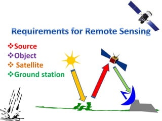

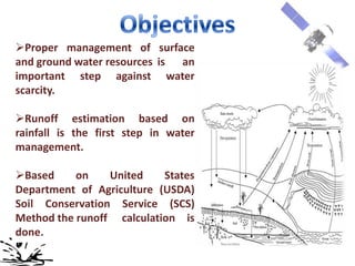
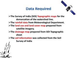
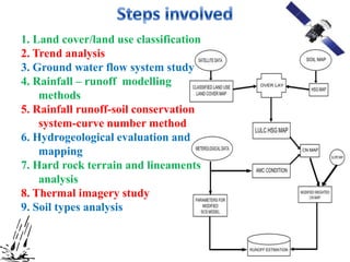
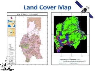
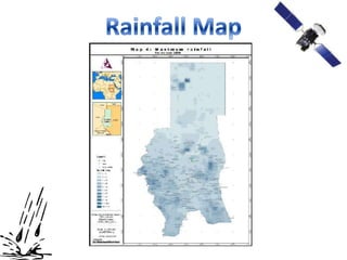
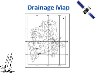


1) The document discusses remote sensing and runoff estimation using the SCS curve number method. Remote sensing involves obtaining information about objects through non-contact sensors. 2) Runoff estimation is the first step in water management. The SCS-CN method estimates runoff as a function of land use, soil type, and rainfall. 3) The study area's topographic maps, rainfall data, land use maps, and soil data were collected and used to classify land cover, model rainfall-runoff, and estimate runoff volume using the SCS-CN method.