Download as PDF, PPTX
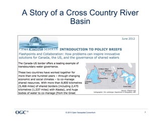
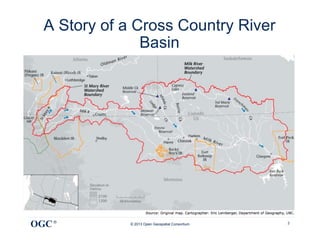
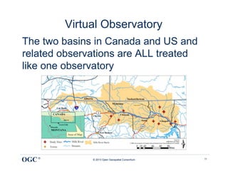
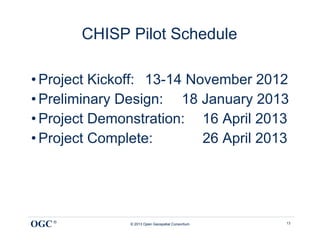
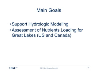
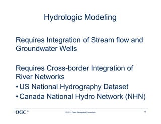


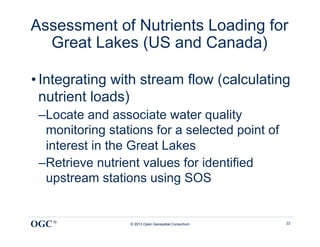
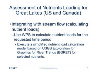
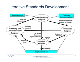

The document summarizes a pilot project called the Climatology-Hydrology Information Sharing Pilot (CHISP) Phase 1. The CHISP pilot aims to build a virtual observatory of interoperating data archives and tools to support hydrological research across the international border between Canada and the US. This will involve integrating water resources data from both countries, including streamflow, groundwater, and water quality to support hydrologic modeling and assessment of nutrient loading in the Great Lakes region.