Download to read offline

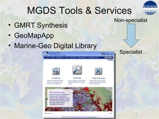
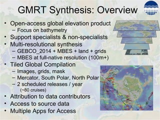
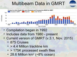
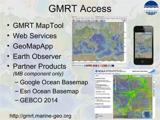
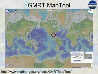
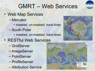
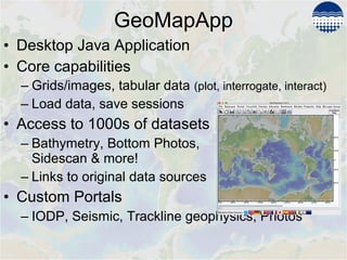
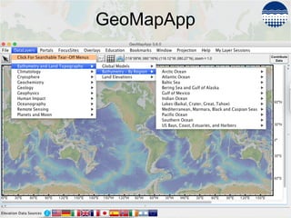
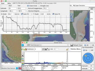
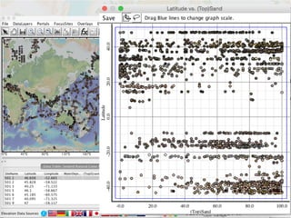
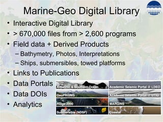
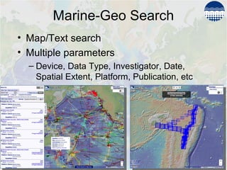
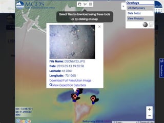

The Marine Geoscience Data System provides online resources for exploring ocean mapping data including the Global Multi-Resolution Topography Synthesis (GMRT), GeoMapApp, and the Marine-Geo Digital Library. The GMRT is an open-access global digital elevation model of ocean bathymetry and lands at varying resolutions. It is compiled from over 800 cruises and updated biannually. Data is accessible through web map services, desktop and web applications. The Marine-Geo Digital Library archives over 600,000 data files and links them to publications. These resources support both specialists and non-specialists in visualizing and accessing ocean mapping data.


![Polymer [ बहुलक ] Chemistry Notes PDF - Irfanullah Mehar - JJ Sir Chemistry.pdf](https://cdn.slidesharecdn.com/ss_thumbnails/polymerchemistrynotespdf-irfanullahmehar-jjsirchemistry-260210172118-3f9b37f7-thumbnail.jpg?width=640&height=640&fit=bounds)


