Download to read offline


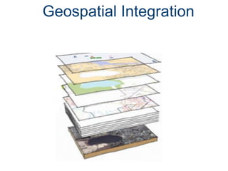


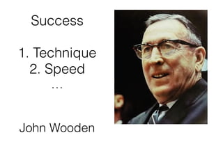

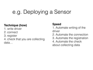
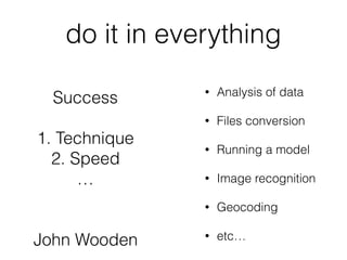


Luis Bermudez discusses the importance of geospatial integration and open standards in information systems, likening them to basketball players in their success which relies on technique and speed. He emphasizes the benefits of open standards, including preventing monopolization, reducing costs, and fostering innovation. The document encourages engagement in open source communities and stresses the need for collaboration to enhance geospatial data access and representation.


![Ova y ava_final[1]](https://cdn.slidesharecdn.com/ss_thumbnails/ovayavafinal1-120207122742-phpapp02-thumbnail.jpg?width=640&height=640&fit=bounds)