Download as PDF, PPTX


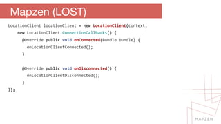
![Router.getRouter().setEndpoint("http://osrm.example.com")
.setDriving()
.setLocation(new double[]{lat, lng})
.setLocation(new double[]{lat, lng})
.setCallback(new Callback() {
@Override
public void success(Route route) {
// do stuff
}
@Override
public void failure(int statusCode) {
// do stuff
}
}).fetch();
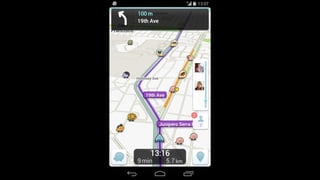
Mapzen (On the Road)](https://image.slidesharecdn.com/droidconnyc-140926135127-phpapp01/85/Building-Location-Aware-Apps-with-Open-Source-Open-Data-73-320.jpg)

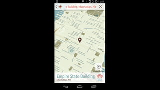
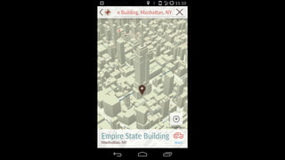
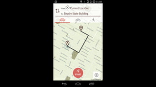
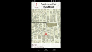


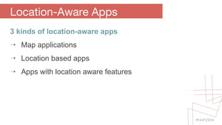
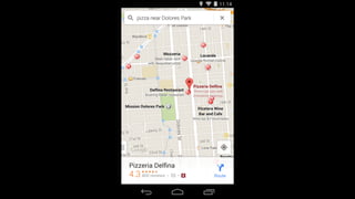
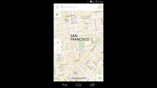
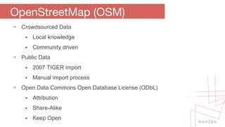
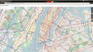
The document discusses building location-aware applications using open source and open data, highlighting various types of such applications including map and location-based apps. It emphasizes the significance of open source philosophy and the advantages of using platforms like OpenStreetMap and Mapbox for data integration and mapping features. Additionally, it covers specific technical implementations and libraries for developing these applications on Android.