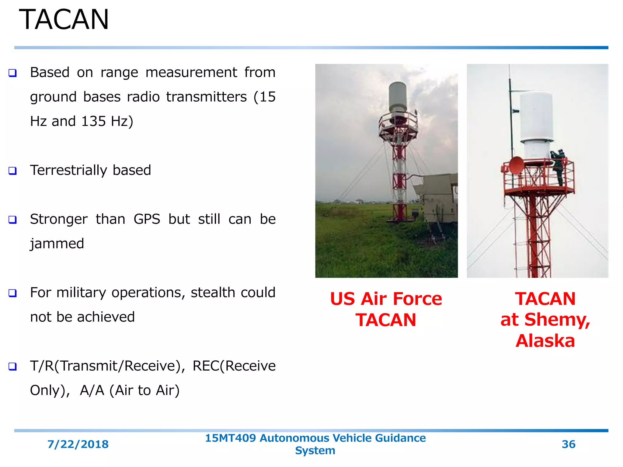
Download as PDF, PPTX


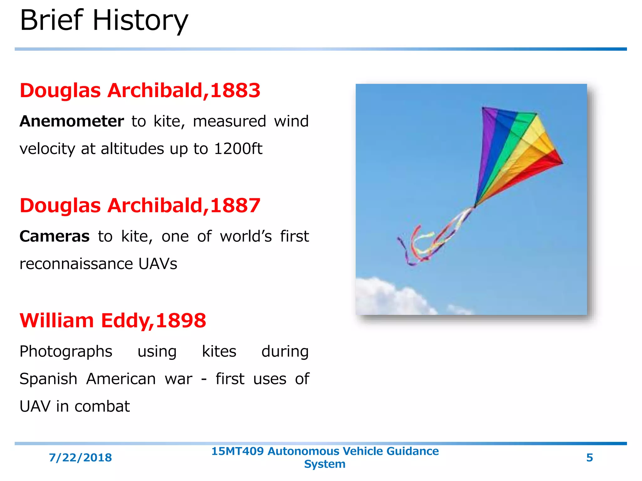
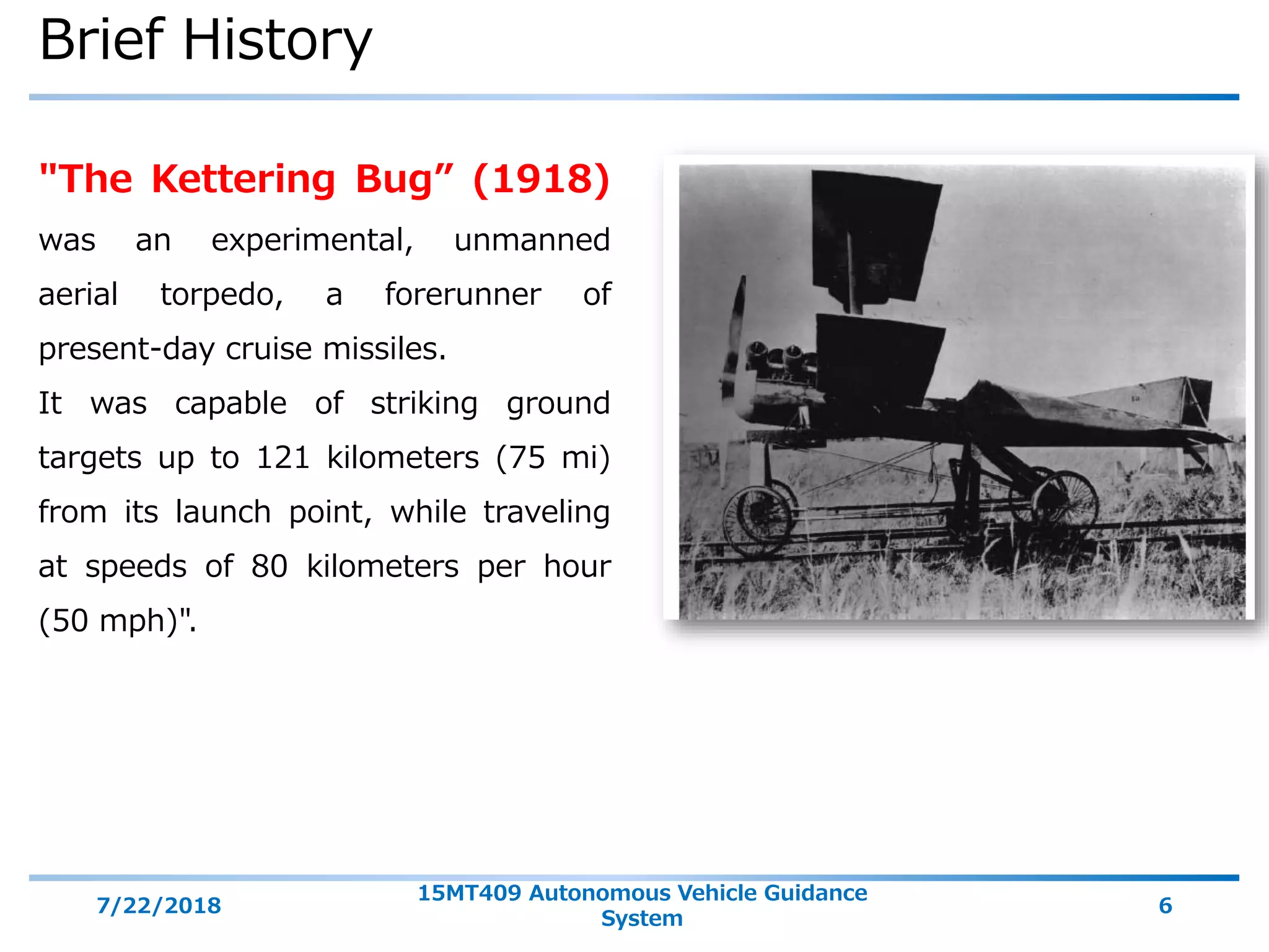


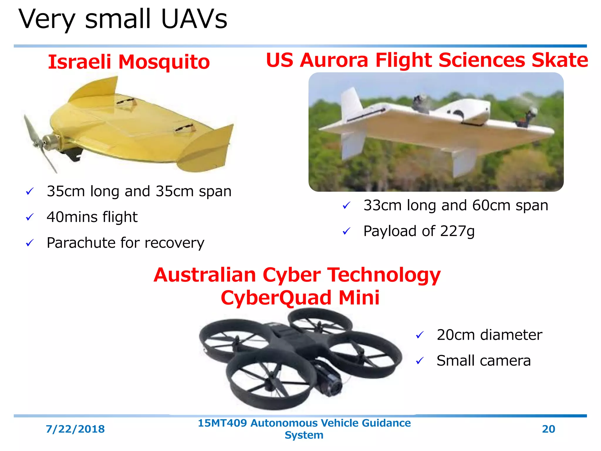


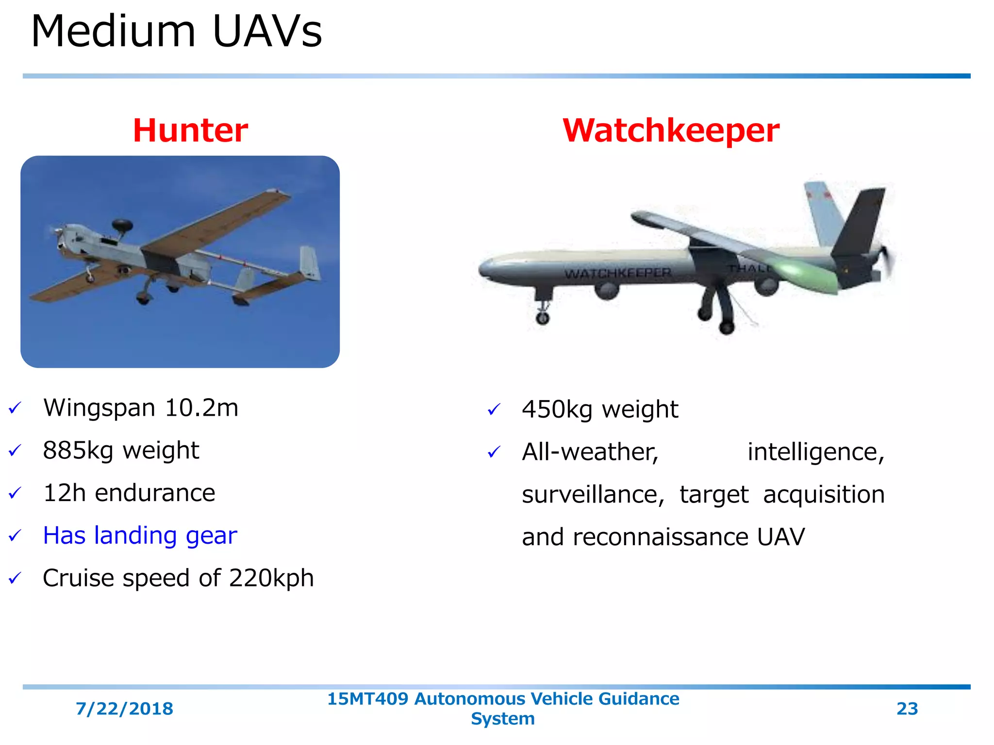


The document discusses unmanned aerial vehicles (UAVs), including: 1) The objectives of the session are to understand the introduction, types, elements, missions, and navigation systems of UAVs. 2) UAVs consist of an air vehicle, ground control station, data link, and may have payloads like cameras. They come in various sizes and can perform missions like reconnaissance and surveillance. 3) UAV navigation systems include GPS, inertial navigation, and they may use waypoint navigation to follow a planned route.