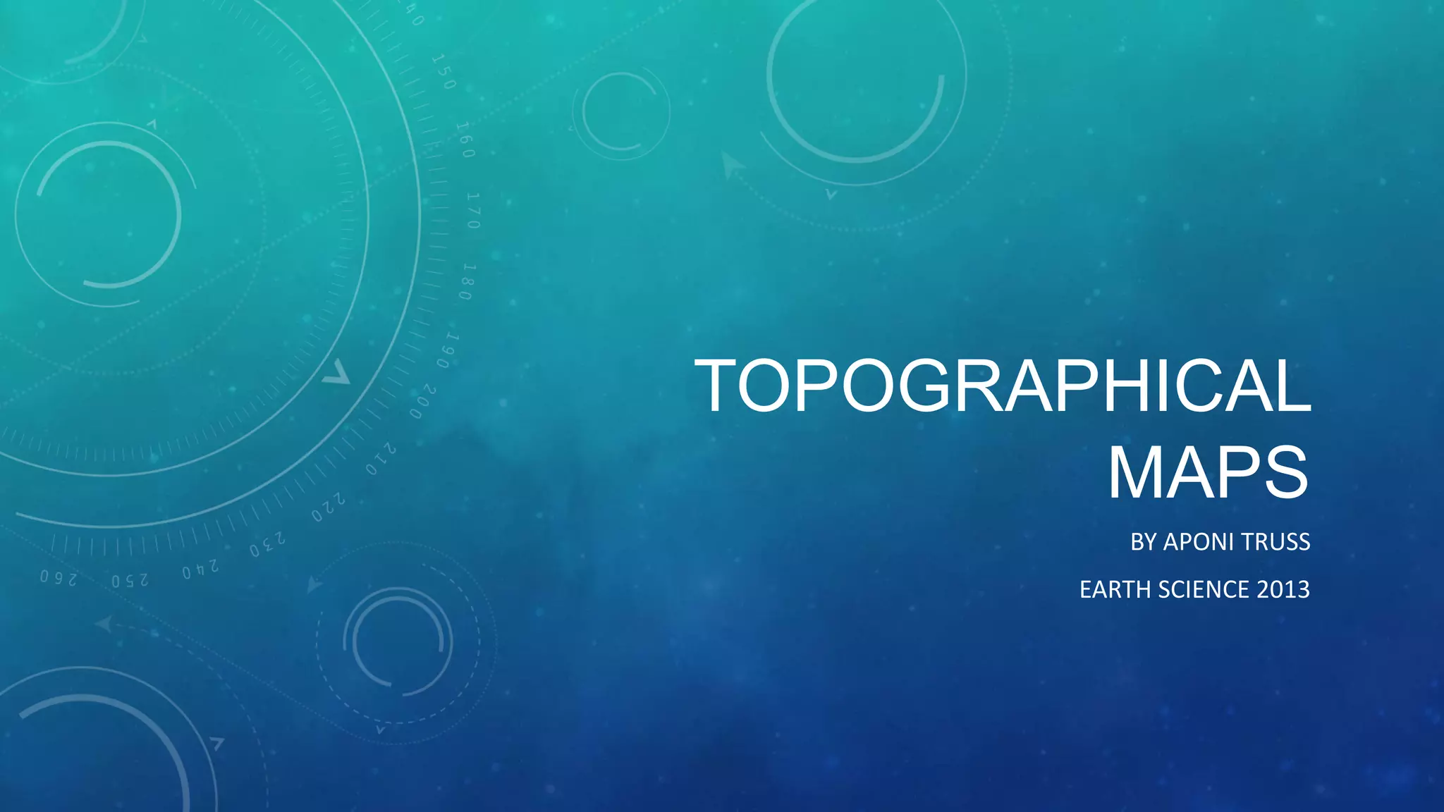
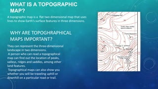
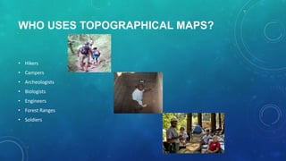
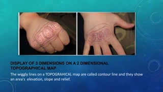
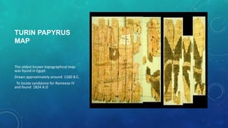
TOPOGRAPHICAL
MAPS
BY APONI TRUSS
EARTH SCIENCE 2013
WHAT IS A TOPOGRAPHIC
MAP?
A topographic map is a flat two dimensional map that uses
lines to show Earth’s surface features in three dimensions.

WHY ARE TOPOGHRAPHICAL
MAPS IMPORTANT?
They can represent the three-dimensional
landscape in two dimensions.
A person who can read a topographical
map can find out the location of peaks,
valleys, ridges and saddles, among other
land features.
Topographical maps can also show you
whether you will be traveling uphill or
downhill on a particular road or trail.
WHO USES TOPOGRAPHICAL MAPS?

• Hikers
• Campers
• Archeologists
• Biologists
• Engineers
• Forest Ranges
• Soldiers
LAND FEATURES FOUND ON
TOPOGRAPHICAL MAPS
Natural Features

Man Made

• Plateaus

• Dam

• Mountains

• Roads

• Plains

• Hiking Trails

• Rivers

• Rail Road Tracks
DISPLAY OF 3 DIMENSIONS ON A 2 DIMENSIONAL
TOPOGRAPHICAL MAP
The wiggly lines on a TOPOGRAHICAL map are called contour line and they show
an area's elevation, slope and relief.
TURIN PAPYRUS
MAP

The oldest known topographical map
was found in Egypt.
Drawn approximately around 1160 B.C.

To locate sandstone for Rameese IV
and found 1824 A.D.
YOU HAVE ARRIVED AT THE END OF MY
PRESENTATION, THANK YOU.

Topographical Maps AYA 2013

  • 1.
  • 2.
    WHAT IS ATOPOGRAPHIC MAP? A topographic map is a flat two dimensional map that uses lines to show Earth’s surface features in three dimensions. WHY ARE TOPOGHRAPHICAL MAPS IMPORTANT? They can represent the three-dimensional landscape in two dimensions. A person who can read a topographical map can find out the location of peaks, valleys, ridges and saddles, among other land features. Topographical maps can also show you whether you will be traveling uphill or downhill on a particular road or trail.
  • 3.
    WHO USES TOPOGRAPHICALMAPS? • Hikers • Campers • Archeologists • Biologists • Engineers • Forest Ranges • Soldiers
  • 4.
    LAND FEATURES FOUNDON TOPOGRAPHICAL MAPS Natural Features Man Made • Plateaus • Dam • Mountains • Roads • Plains • Hiking Trails • Rivers • Rail Road Tracks
  • 5.
    DISPLAY OF 3DIMENSIONS ON A 2 DIMENSIONAL TOPOGRAPHICAL MAP The wiggly lines on a TOPOGRAHICAL map are called contour line and they show an area's elevation, slope and relief.
  • 6.
    TURIN PAPYRUS MAP The oldestknown topographical map was found in Egypt. Drawn approximately around 1160 B.C. To locate sandstone for Rameese IV and found 1824 A.D.
  • 7.
    YOU HAVE ARRIVEDAT THE END OF MY PRESENTATION, THANK YOU.