Download as PDF, PPTX


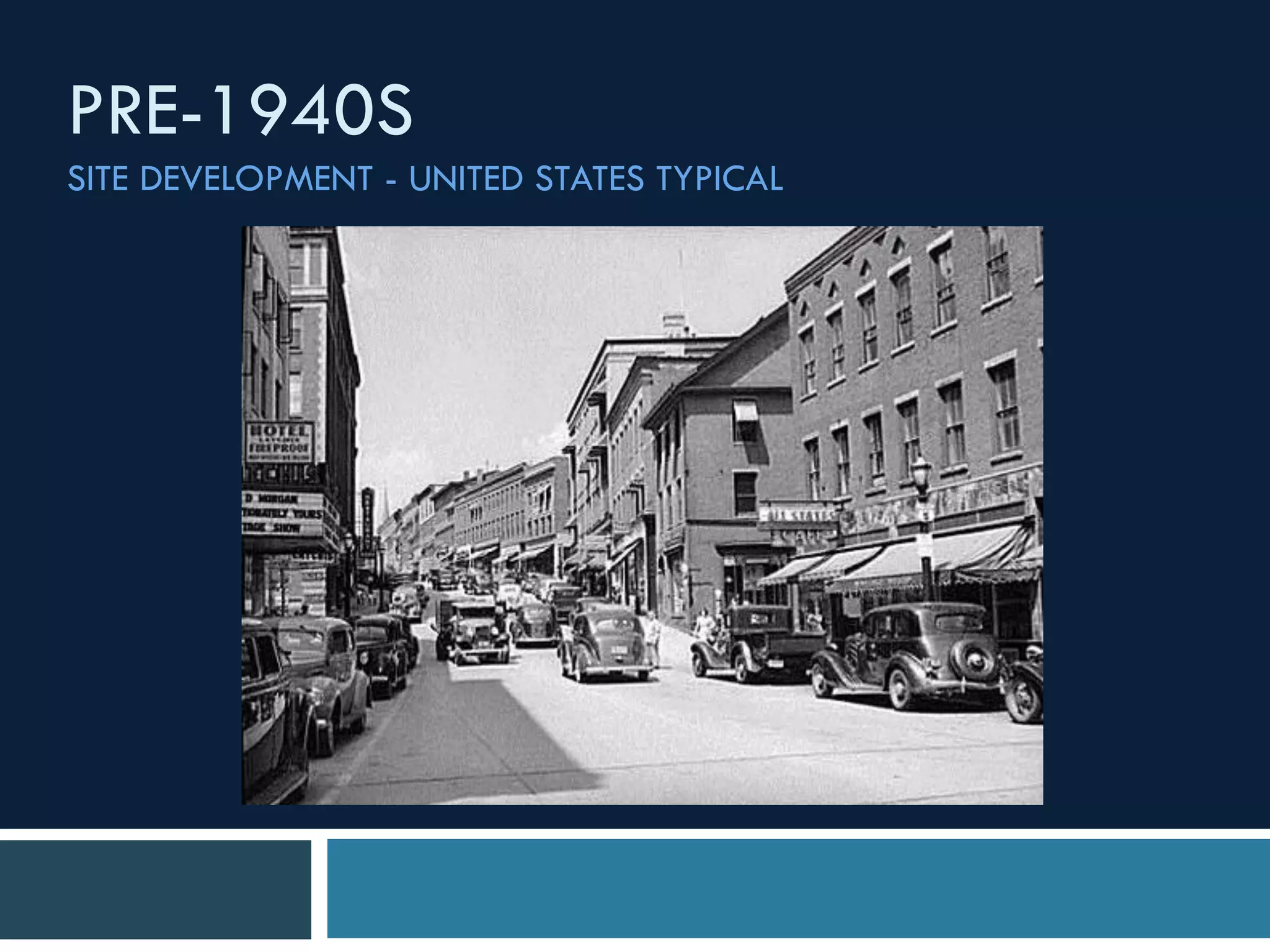
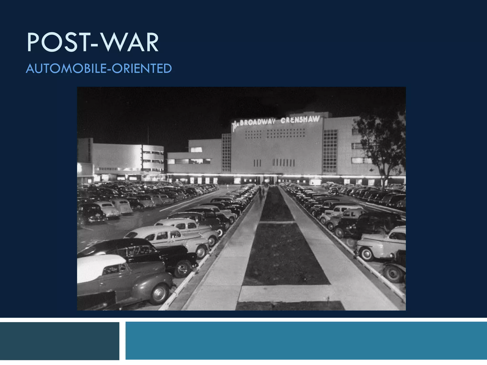

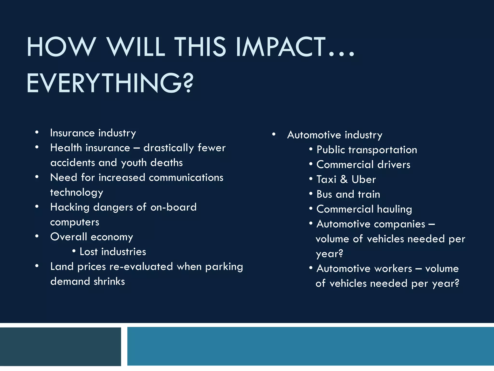
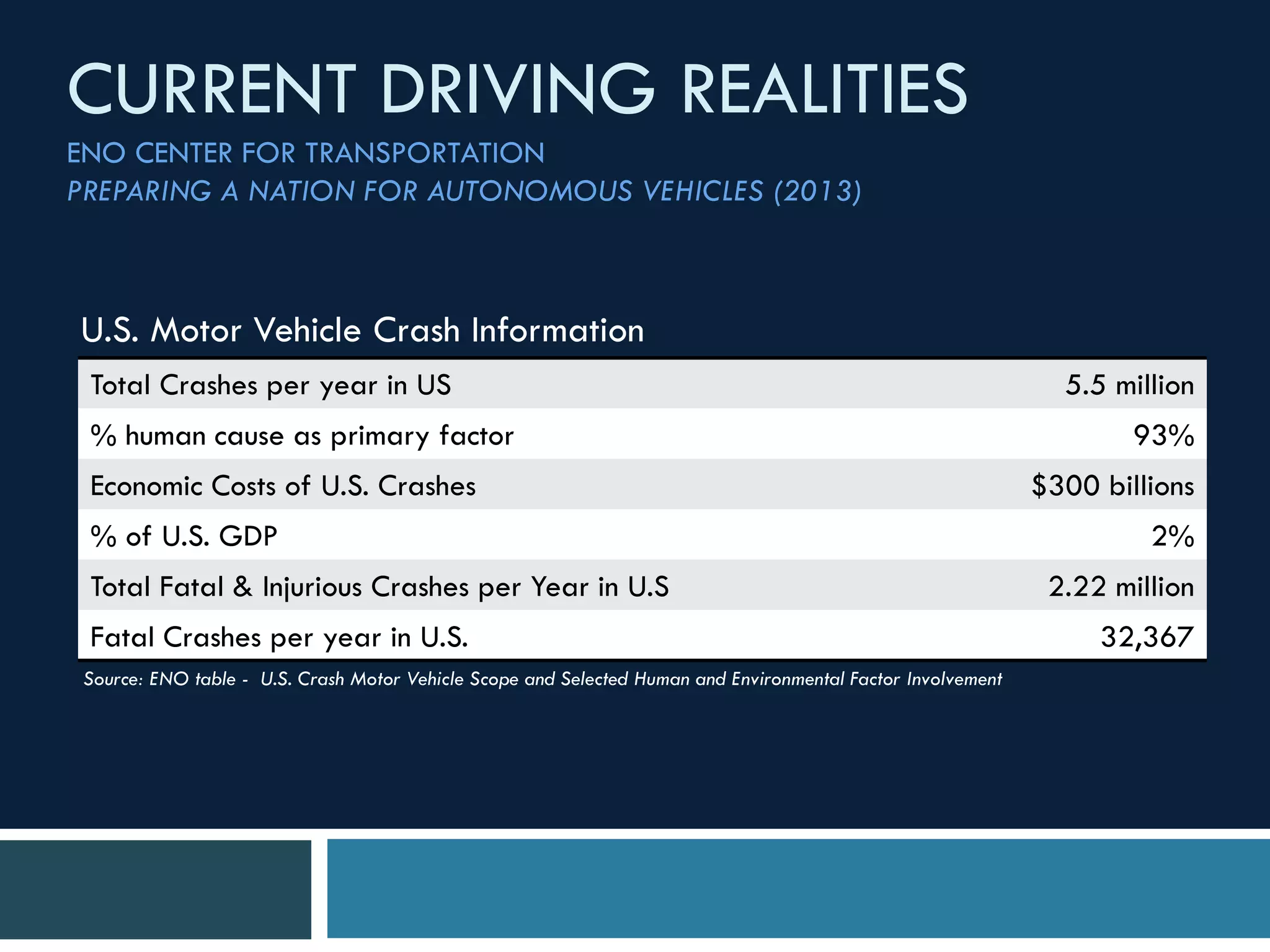

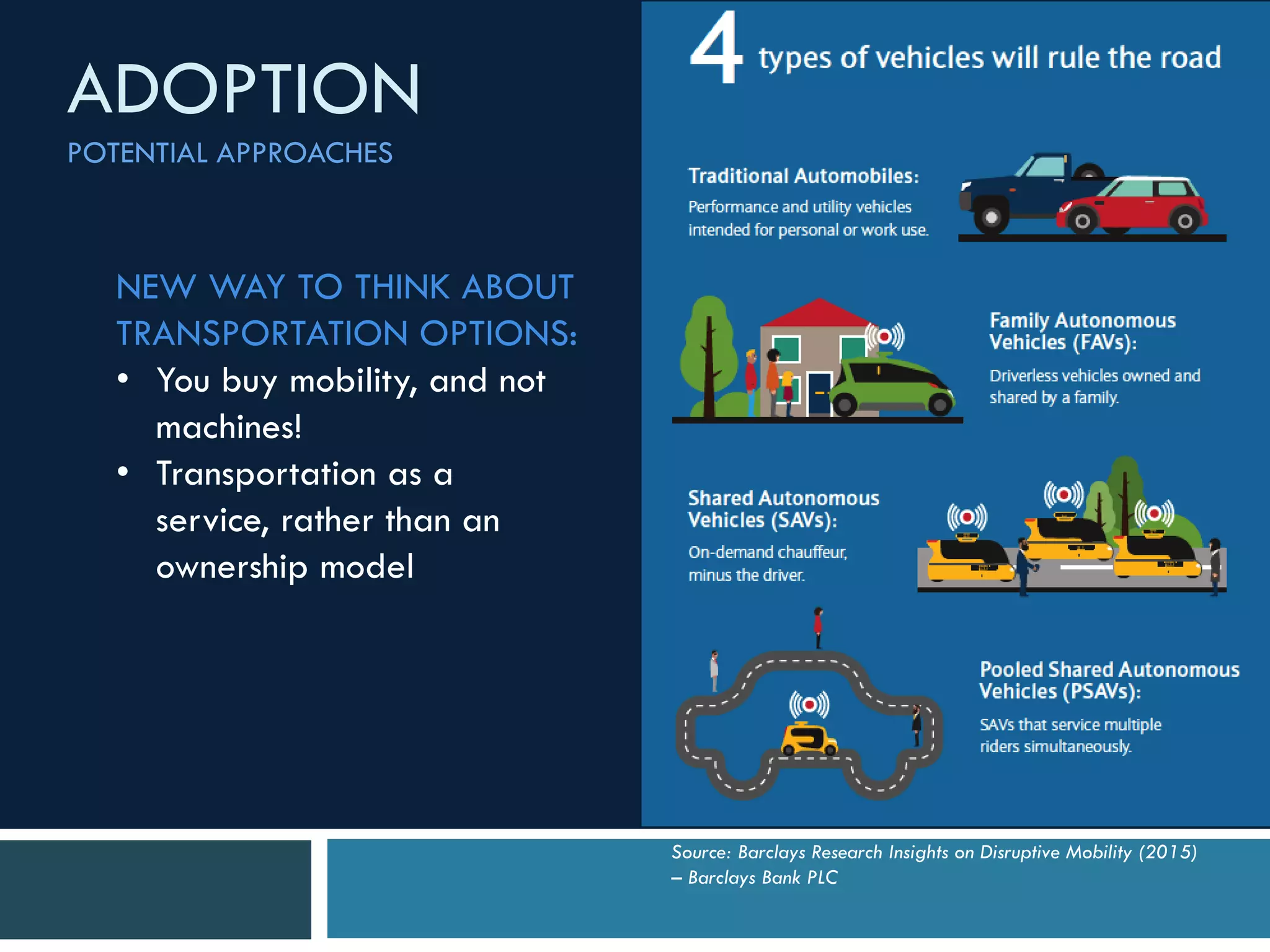


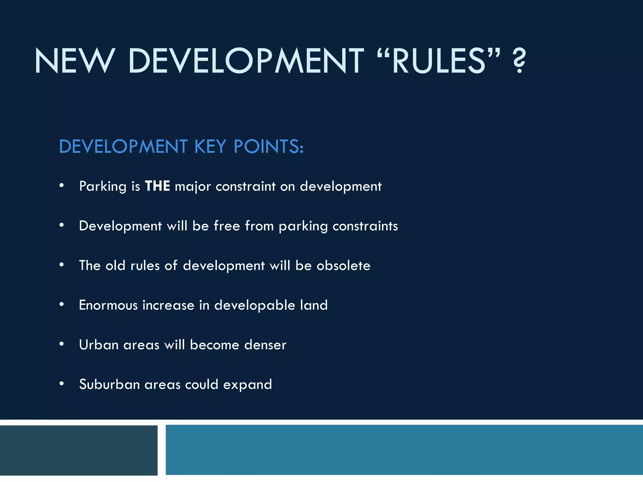

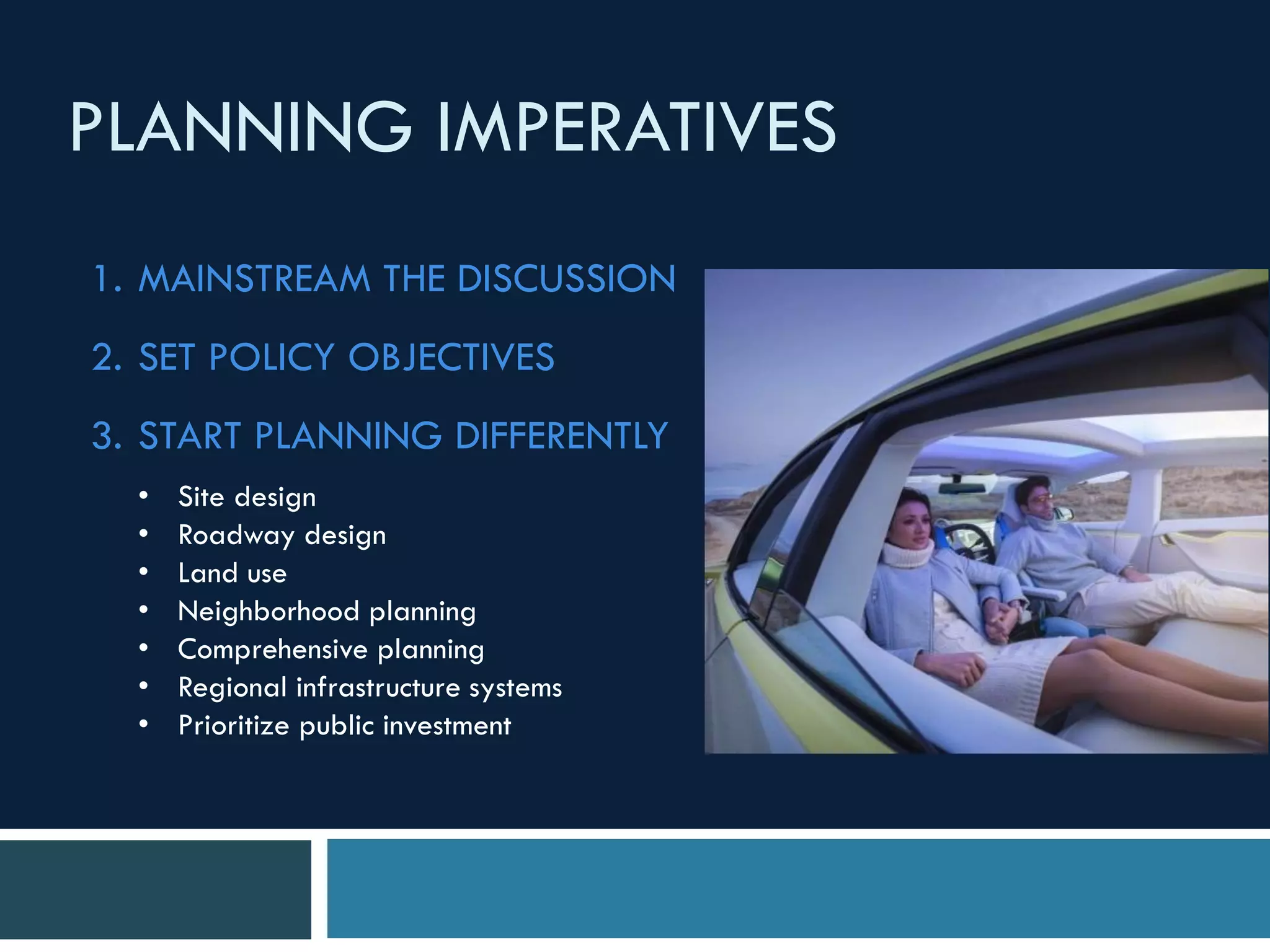
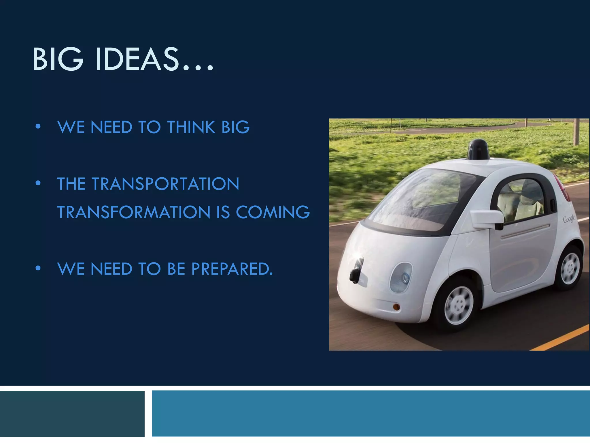


The document discusses the impact of autonomous vehicles on urban planning and city development, emphasizing the need for professionals to start preparing for these changes now. It outlines potential economic and societal benefits, such as reduced accidents and changed land use due to decreased parking demand. The authors advocate for a shift in planning practices to accommodate new transportation models and the reimagining of urban spaces.