Download as PDF, PPTX


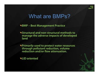
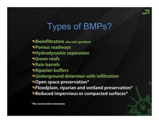
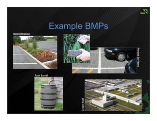
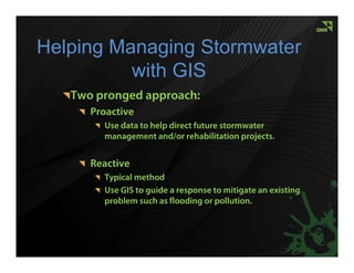
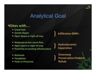
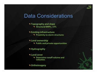
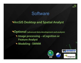
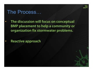
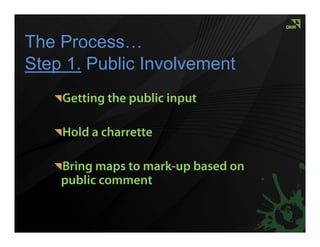

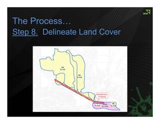
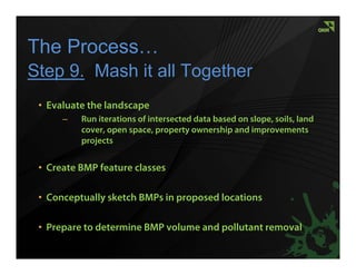
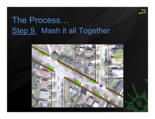
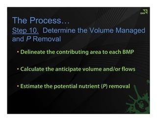
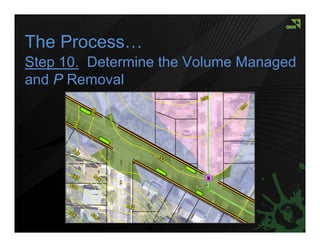


The document outlines the use of GIS to evaluate and implement Best Management Practices (BMPs) for managing stormwater and protecting water resources. It describes a proactive and reactive approach to stormwater management, detailing steps for community involvement, site evaluation, and BMP selection based on various environmental factors. The document emphasizes the importance of analyzing data related to soil, topography, and land cover to inform effective BMP placement and stormwater management strategies.


![[Day 2] Center Presentation: IWMI](https://cdn.slidesharecdn.com/ss_thumbnails/cgiar-csi-day2-1apr2009-center-iwmi-090405003140-phpapp01-thumbnail.jpg?width=640&height=640&fit=bounds)