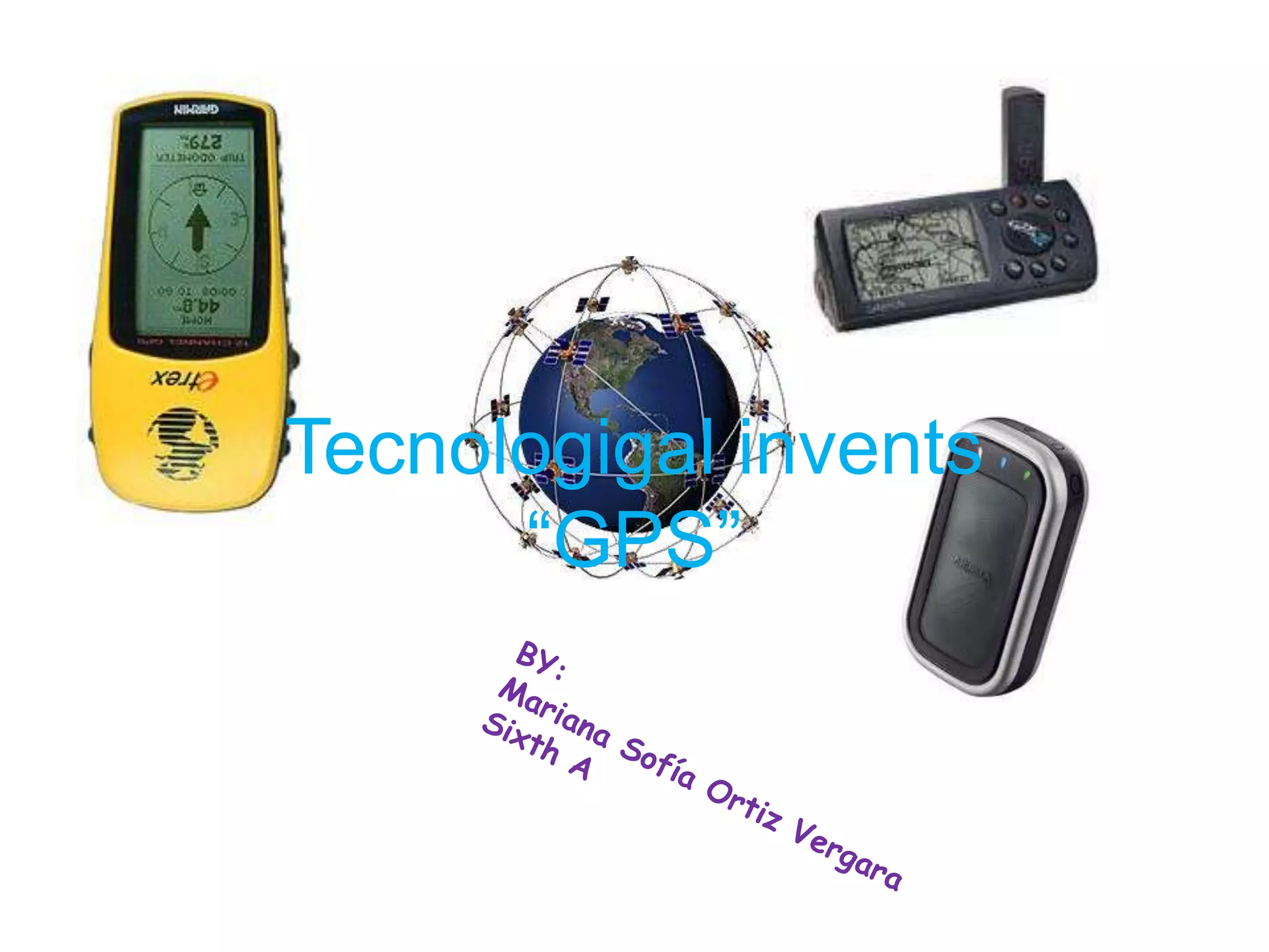
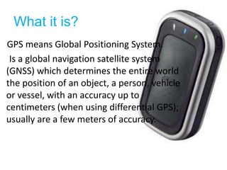
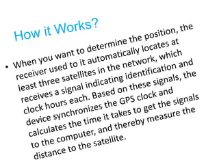
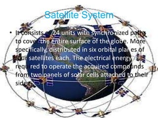
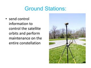
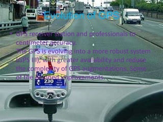
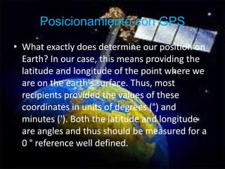
Tecnologigal invents “GPS”BY:Mariana Sofía Ortiz VergaraSixth A
What it is?GPS means Global Positioning System.     Is a global navigation satellite system (GNSS) which determines the entire world the position of an object, a person, vehicle or vessel, with an accuracy up to centimeters (when using differential GPS); usually are a few meters of accuracy.
Who invented?    Although his invention is attributed to French and Belgian governments, the system was developed, installed and currently operated by the Department of Defense of the United States.
How it Works?When you want to determine the position, the receiver used to it automatically locates at least three satellites in the network, which receives a signal indicating identification and clock hours each. Based on these signals, the device synchronizes the GPS clock and calculates the time it takes to get the signals to the computer, and thereby measure the distance to the satellite.
In 1957, the Soviet Union launched the Sputnik satellite into space, which was monitored by observing the Doppler shift of the signal transmitted. Due to this fact, we began to think that, similarly, the position of an observer could be established by studying the Doppler shift of a signal transmitted by a satellite whose orbit was determined precisely.YROTSIH
SatelliteSystemIt consists of 24 units with synchronized paths to cover the entire surface of the globe.More specifically, distributed in six orbital planes of four satellites each. The electrical energy required to operate the acquired compounds from two panels of solar cells attached totheirsides.
GroundStations:send control information to control the satellite orbits and perform maintenance on the entire constellation
Evolution of GPSGPS receiver station and professionals to centimeter accuracy.The GPS is evolving into a more robust system (GPS III), with greater availability and reduce the complexity of GPS augmentations. Some of the planned improvements.
Posicionamiento con GPSWhat exactly does determine our position on Earth? In our case, this means providing the latitude and longitude of the point where we are on the earth's surface. Thus, most recipients provided the values of these coordinates in units of degrees (°) and minutes ('). Both the latitude and longitude are angles and thus should be measured for a 0 ° reference well defined.
Theend

Tecnologigal invents

  • 1.
    Tecnologigal invents “GPS”BY:MarianaSofía Ortiz VergaraSixth A
  • 2.
    What it is?GPSmeans Global Positioning System. Is a global navigation satellite system (GNSS) which determines the entire world the position of an object, a person, vehicle or vessel, with an accuracy up to centimeters (when using differential GPS); usually are a few meters of accuracy.
  • 3.
    Who invented? Although his invention is attributed to French and Belgian governments, the system was developed, installed and currently operated by the Department of Defense of the United States.
  • 4.
    How it Works?Whenyou want to determine the position, the receiver used to it automatically locates at least three satellites in the network, which receives a signal indicating identification and clock hours each. Based on these signals, the device synchronizes the GPS clock and calculates the time it takes to get the signals to the computer, and thereby measure the distance to the satellite.
  • 5.
    In 1957, theSoviet Union launched the Sputnik satellite into space, which was monitored by observing the Doppler shift of the signal transmitted. Due to this fact, we began to think that, similarly, the position of an observer could be established by studying the Doppler shift of a signal transmitted by a satellite whose orbit was determined precisely.YROTSIH
  • 6.
    SatelliteSystemIt consists of24 units with synchronized paths to cover the entire surface of the globe.More specifically, distributed in six orbital planes of four satellites each. The electrical energy required to operate the acquired compounds from two panels of solar cells attached totheirsides.
  • 7.
    GroundStations:send control informationto control the satellite orbits and perform maintenance on the entire constellation
  • 8.
    Evolution of GPSGPSreceiver station and professionals to centimeter accuracy.The GPS is evolving into a more robust system (GPS III), with greater availability and reduce the complexity of GPS augmentations. Some of the planned improvements.
  • 9.
    Posicionamiento con GPSWhatexactly does determine our position on Earth? In our case, this means providing the latitude and longitude of the point where we are on the earth's surface. Thus, most recipients provided the values of these coordinates in units of degrees (°) and minutes ('). Both the latitude and longitude are angles and thus should be measured for a 0 ° reference well defined.
  • 10.