Download as PDF, PPTX
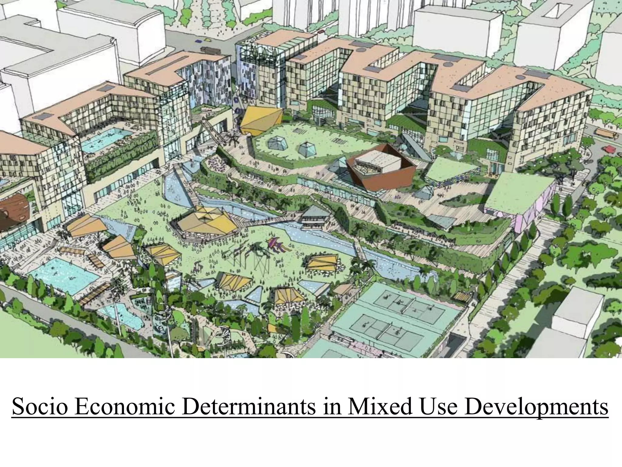
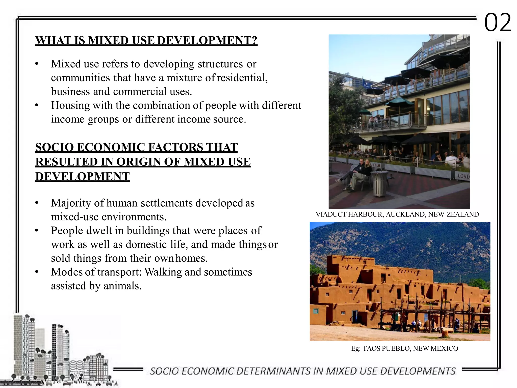


The document discusses socio-economic determinants in mixed-use developments, particularly focusing on the evolution of such environments in places like Auckland and Mumbai. It highlights the benefits, challenges, and historical transformations of mixed-use spaces and examines specific case studies such as Dharavi and Magarpatta City. The text emphasizes the importance of integrating residential, commercial, and recreational spaces to enhance quality of life and community interaction.


