Downloaded 159 times

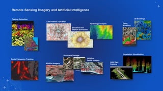
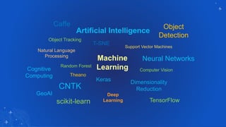
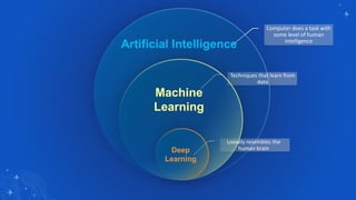
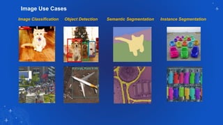
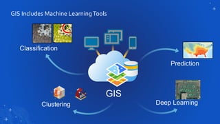
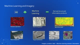
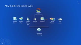
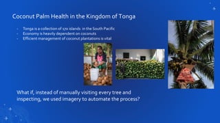

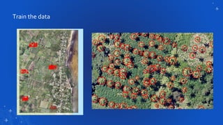
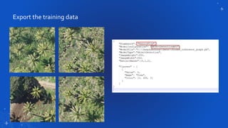

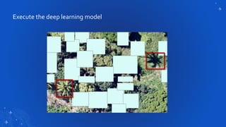
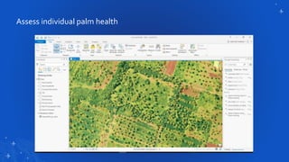
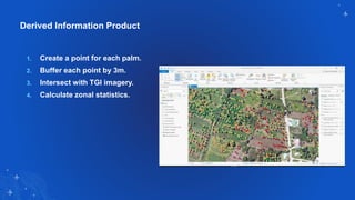
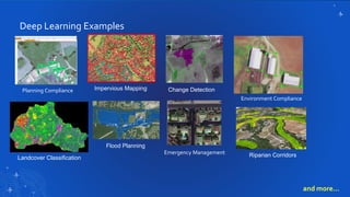

The document discusses the integration of remote sensing imagery and artificial intelligence, highlighting applications such as radio frequency tracking, vegetation visualization, and wildfire analysis. Key techniques like machine learning and deep learning are applied to image classification and object detection, showcasing a case study on automating coconut palm health assessment in Tonga. It emphasizes the importance of leveraging imagery and AI for efficient resource management in various sectors including agriculture and environmental compliance.


![[DSC DACH 25] AI in Action_ From Industrial Data to Sustainable Impact_Ashraf...](https://cdn.slidesharecdn.com/ss_thumbnails/aiinactionfromindustrialdatatosustainableimpactashrafabushady20251016-251024080148-05e79a02-thumbnail.jpg?width=640&height=640&fit=bounds)


