Download as PDF, PPTX
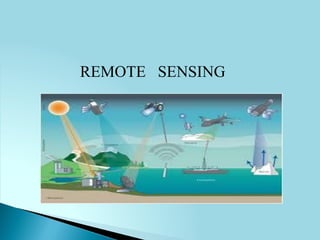


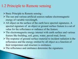


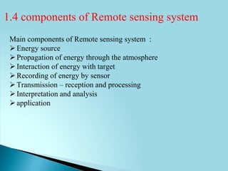


The document discusses remote sensing and its key elements. It begins with an introduction to remote sensing, defining it as obtaining information about an object without physical contact through analysis of data from devices. The principles of remote sensing are then outlined, including how electromagnetic energy interacts with and is reflected from Earth's surface features. The main components of a remote sensing system are identified as the energy source, propagation through the atmosphere, energy interaction with targets, sensor recording, transmission and processing, interpretation, and applications. Key advantages of remote sensing include large area coverage enabling regional surveys and monitoring of dynamic phenomena over time.