Download as PDF, PPTX

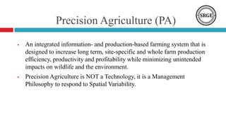
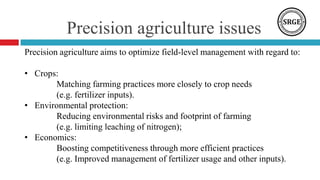
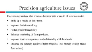

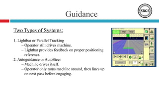
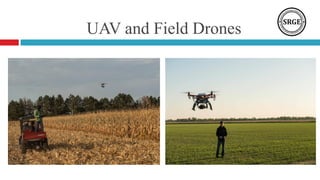
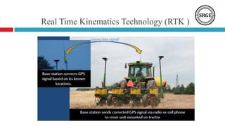
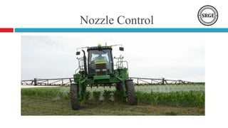
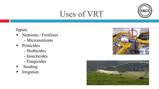
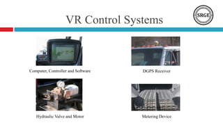
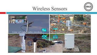
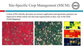
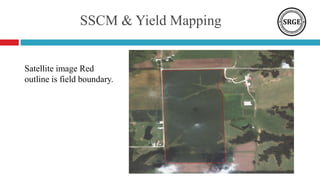
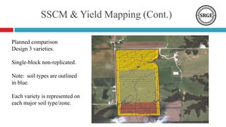
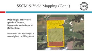


This document discusses precision agriculture and provides an overview of key concepts: 1. Precision agriculture aims to optimize field management to match crop needs, protect the environment, and boost farm economics through efficient practices. 2. It involves characterizing field variability, making decisions based on soil maps and sensor data, and implementing variable-rate technology. 3. Current trends include high-accuracy GPS, input management like variable-rate fertilizer application, and information management tools to aid decision-making. 4. The document describes technologies like guidance systems, drones, wireless sensors, and yield mapping that are part of precision agriculture approaches.