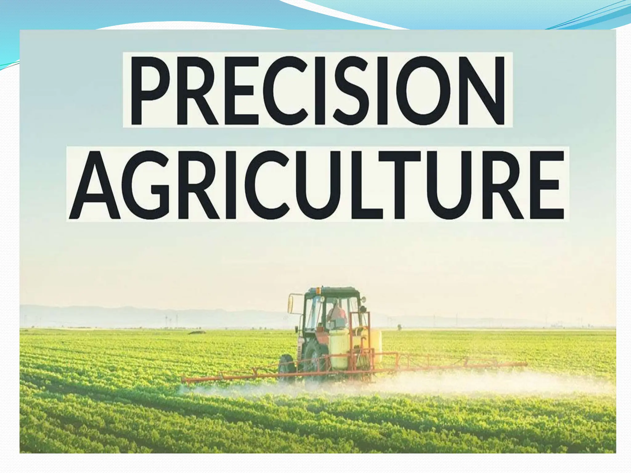
PRECISION AGRICULTURE
 Precision agriculture can be defined as the application of
principles and technologies to manage spatial and temporal
variability associated with all aspects of agricultural production
for the purpose of improving crop performance and
environmental quality( Pierce and Nowak,1999).
Ctd….
It is an integrated and production based farming
system that is designed to increase long term, site
specific and whole farm production efficiency,
productivity and profitability while minimizing
unintended impacts on wildlife and environment .
(U.S house of representatives,1997)
“Precision farming is a technology which involves the
targeting of inputs to arable crop production according
to crop requirement on the localized basis .”(stafford
,1996)
 It is a modern agriculture practice involving the
use of technology in agriculture like remote
sensing, GPS and Geographical Information
System (GIS) for improving productivity and
profitability
 It basically means adding the right amount of
treatment at the right time and at the right
location within a field.
Need for precision agriculture
 Decline in total productivity
 Diminishing and degrading natural resources
 Stagnating farm incomes
 Lack of eco regional approach
 Declining and fragmental land holdings
 Limited employment opportunities in non farm sector
 Global climatic variation
 Aims
To replace
Big machinery
high energy consumption
chemicals/ at least over application
With
Intelligent machines
Intelligent processes
Precision farming Traditional farming
Farm field is broken into management
zones
Whole field approach where field is
treated as a homogenous area
Management decisions are based on
requirement of each zone
Decisions are made on field averages
PF tools ( e.g. GPS/GIS) are used to
control zone.
Inputs are applied uniformly
Basic concept
 Assessing variability
 Managing the variability
 Evaluation
Assessing variability
 In precision farming ,inputs are to be applied precisely
in accordance with the existing variability.
 Spatial variability of all the determinants of crop yield
should be well recognized , adequately quantified and
properly located.
 Construction of Condition maps on the basis of
variability
 Managing variability
Variations occur in crop or soil properties within a field .
These variations are noted , and often mapped.
Management measures are taken as a consequence of
spatial variability in the field.
 More effective utilization of inputs will bring in more crop
yield and quality without polluting the environment and
will result in sustainable agriculture and sustainable
development.
Technologies
 Technologies include a vast array of tools of hardware,
software and equipment
 Global Positioning System (GPS) receivers
 Differential Global Positioning System (DGPS)
 Geographic information systems (GIS)
 Remote sensing
 Variable Rate Applicator
 Combine harvesters with yield monitors
1. Global positioning system
GPS is a set of satellites that identify the location of farm
equipment within a meter of an actual site in the field. The
value of knowing a precision location within inches is that:
• Location of soil samples and the laboratory results can be
compared to a soil map.
• Fertilizer and pesticides can be prescribed to fit soil
properties
• Tillage adjustments can be made as one finds various
conditions across the field and
• One can monitor and record yield data as one goes across
the field.The present internet makes possible the development
of a mechanism for effective farm management using remote
sensing.
2.Geographical information system
(GIS)
A geographical information system (GIS) consists
of a computer software data base system used to
input, store, retrieve, analyse and display, in map
like form, spatially referenced geographical
information.
3. Grid sampling
Grid sampling is a method of breaking a field into
blocks of about 0.5-5 ha. The sampling soils within
those grids to determine appropriate application rates.
Several samples are taken from each grid, mixed and
sent into the laboratory for analysis.
 4. Variable rate technology
Variable rate technology (VRT) consists of farm field
equipment with the ability to precisely control the rate
of application of crop inputs that can be varied in their
application commonly include tillage, fertilizer, weed
control, insect control, plant population and irrigation.
 5. Yield monitors
Yield monitors are crop yield measuring devices
installed on harvesting equipment. The yield data
from the monitor is recorded and stored at regular
intervals along with positional data received from GPS
unit. GIS software takes the yield data and produce
yield maps.
 6. Yield maps
Yield maps are produced by processing data from
adopted combine harvester that is equipped with a
GPS that is integrated with a yield recording system.
Yield mapping involves the recording of the grain flow
through the combine harvester, while recording the
actual in the field at the same time.
 7. Remote sensors
Remote sensors are generally categorized as aerial or
satellite sensors. They can indicate variations in field
colour that corresponds to changes in soil type, crop
development, field boundaries, roads, water etc.
 Crop production forecasting: It includes the identification of crops,
acreage estimation and yield forecasting.
 Soil mapping: Soil maps afford the information on the suitability
and limitation of the soil for agricultural production, which are
helpful in selection of proper cropping system and optimal land use
planning.
 Wasteland mapping: Information on degraded and wasteland e.g.
salt affected areas, acidic soils, eroded soils, water logged area,
dryland etc.
 Water stress: The use of remote sensors to directly measure soil
moisture has had very limited success.
 Insect detection: Indirect detection of insects through the detection
of plant stress has generally been used in annual crops.
 Nutrient stress: Plant nitrogen stress areas can be located in the field
using high-resolution colour infrared aerial images. The reflectance
of near infrared, visible red and visible green wavelengths have a
high correlation to the amount of applied nitrogen in the field.
Advantages
 enhance agricultural productivity and prevent soil degradation
in cultivable land resulting in sustained agricultural development.
 reduce excessive chemical usage in crop production.
 Water resources will be utilized efficiently under the precision
farming.
 Dissemination of information about agricultural practices to improve
quality, quantity and reduced cost of production in agricultural crops.
 It will minimize the risk to the environment particularly with respect
to the nitrate leaching and groundwater contamination by means of
the optimization of agro-chemical products.
 Non-uniform fields can be sub-divided into smaller plots based on
their unique requirements.
 It provides opportunities for better resource management and
hence reduce wastage for resources.
Disadvantages
 High capital costs may discourage farmers to not adopt
this method of farming.
 Precision agriculture techniques are still under
development and requires expert advice before actual
implementation.
 It may take several years before the actual collection of
sufficient data to fully implement the system.
 It is an extremely difficult task particularly the
collection and analysis of data.
Present scenario
 Though PF is very much talked about in developed
countries,it is still at a very nascent stage in developing
countries including India.
How could India benefit from the precision
farming
 Refinement and wider application of PF help in reducing
production costs, increasing productivity and better
utilization of natural resources.
 It has the ability to revolutionalize modern farm management in
India through improvement in profitability, productivity,
sustainability, crop quality, environmental protection, on-farm
quality of life, food safety and rural economic development.
 Site-specific application of irrigation in wheat of Punjab and
Haryana, pesticides in cotton and fertilizers applications in oil
palm plantation in South India, and coffee and tea garden of
eastern India can highly reduce production costs and also reduce
environmental loading of chemicals.
It can increase the efficiency of irrigation efficiency
when water resources are low.
Farmers can use like water stress, forecast and
mitigate problems nutrient deficiency, and
pests/diseases.
It also increases opportunities for skilled employment
in the agriculture sector and also provides new tools
for evaluating multifunctional aspects including non-
market functions.
It has the essential role in the monitoring of
greenhouse conditions in agricultural fields
 Challenges in adopting precision farming in India
 The adoption of precision farming in India is yet in the
nascent stage due to its unique pattern of land
holdings, poor infrastructure, lack of farmers
inclination to take the risk, social and economic
conditions and demographic conditions
 The small size of landholdings in most of the Indian
agriculture limits economic gains from currently
available precision farming technology.
references
 Jana b.l,2012.Precision farming.
 Richard godwin.2015. Precision farming. Ingenia
magazine
 Moram,M.S.,Inoue,Y.and Barnes,E.M. 1997. Oppotunities
and limitations for image – based remote sensing in crop
management. Remote sensing in precision crop
management. Remote sensing of environment.61:319-346.
 Yellamanda Reddy.T.,G.H.Sankara Reddy.2018. Precision
farming. Principles of Agronomy :622-644

Precision agriculture in agriculture sector

  • 2.
    PRECISION AGRICULTURE  Precisionagriculture can be defined as the application of principles and technologies to manage spatial and temporal variability associated with all aspects of agricultural production for the purpose of improving crop performance and environmental quality( Pierce and Nowak,1999).
  • 3.
    Ctd…. It is anintegrated and production based farming system that is designed to increase long term, site specific and whole farm production efficiency, productivity and profitability while minimizing unintended impacts on wildlife and environment . (U.S house of representatives,1997) “Precision farming is a technology which involves the targeting of inputs to arable crop production according to crop requirement on the localized basis .”(stafford ,1996)
  • 4.
     It isa modern agriculture practice involving the use of technology in agriculture like remote sensing, GPS and Geographical Information System (GIS) for improving productivity and profitability  It basically means adding the right amount of treatment at the right time and at the right location within a field.
  • 5.
    Need for precisionagriculture  Decline in total productivity  Diminishing and degrading natural resources  Stagnating farm incomes  Lack of eco regional approach  Declining and fragmental land holdings  Limited employment opportunities in non farm sector  Global climatic variation
  • 6.
     Aims To replace Bigmachinery high energy consumption chemicals/ at least over application With Intelligent machines Intelligent processes
  • 7.
    Precision farming Traditionalfarming Farm field is broken into management zones Whole field approach where field is treated as a homogenous area Management decisions are based on requirement of each zone Decisions are made on field averages PF tools ( e.g. GPS/GIS) are used to control zone. Inputs are applied uniformly
  • 8.
    Basic concept  Assessingvariability  Managing the variability  Evaluation
  • 9.
    Assessing variability  Inprecision farming ,inputs are to be applied precisely in accordance with the existing variability.  Spatial variability of all the determinants of crop yield should be well recognized , adequately quantified and properly located.  Construction of Condition maps on the basis of variability
  • 10.
     Managing variability Variationsoccur in crop or soil properties within a field . These variations are noted , and often mapped. Management measures are taken as a consequence of spatial variability in the field.
  • 11.
     More effectiveutilization of inputs will bring in more crop yield and quality without polluting the environment and will result in sustainable agriculture and sustainable development.
  • 12.
    Technologies  Technologies includea vast array of tools of hardware, software and equipment  Global Positioning System (GPS) receivers  Differential Global Positioning System (DGPS)  Geographic information systems (GIS)  Remote sensing  Variable Rate Applicator  Combine harvesters with yield monitors
  • 14.
    1. Global positioningsystem GPS is a set of satellites that identify the location of farm equipment within a meter of an actual site in the field. The value of knowing a precision location within inches is that: • Location of soil samples and the laboratory results can be compared to a soil map. • Fertilizer and pesticides can be prescribed to fit soil properties • Tillage adjustments can be made as one finds various conditions across the field and • One can monitor and record yield data as one goes across the field.The present internet makes possible the development of a mechanism for effective farm management using remote sensing.
  • 15.
    2.Geographical information system (GIS) Ageographical information system (GIS) consists of a computer software data base system used to input, store, retrieve, analyse and display, in map like form, spatially referenced geographical information.
  • 16.
    3. Grid sampling Gridsampling is a method of breaking a field into blocks of about 0.5-5 ha. The sampling soils within those grids to determine appropriate application rates. Several samples are taken from each grid, mixed and sent into the laboratory for analysis.
  • 17.
     4. Variablerate technology Variable rate technology (VRT) consists of farm field equipment with the ability to precisely control the rate of application of crop inputs that can be varied in their application commonly include tillage, fertilizer, weed control, insect control, plant population and irrigation.
  • 18.
     5. Yieldmonitors Yield monitors are crop yield measuring devices installed on harvesting equipment. The yield data from the monitor is recorded and stored at regular intervals along with positional data received from GPS unit. GIS software takes the yield data and produce yield maps.
  • 19.
     6. Yieldmaps Yield maps are produced by processing data from adopted combine harvester that is equipped with a GPS that is integrated with a yield recording system. Yield mapping involves the recording of the grain flow through the combine harvester, while recording the actual in the field at the same time.
  • 20.
     7. Remotesensors Remote sensors are generally categorized as aerial or satellite sensors. They can indicate variations in field colour that corresponds to changes in soil type, crop development, field boundaries, roads, water etc.
  • 21.
     Crop productionforecasting: It includes the identification of crops, acreage estimation and yield forecasting.  Soil mapping: Soil maps afford the information on the suitability and limitation of the soil for agricultural production, which are helpful in selection of proper cropping system and optimal land use planning.  Wasteland mapping: Information on degraded and wasteland e.g. salt affected areas, acidic soils, eroded soils, water logged area, dryland etc.  Water stress: The use of remote sensors to directly measure soil moisture has had very limited success.  Insect detection: Indirect detection of insects through the detection of plant stress has generally been used in annual crops.  Nutrient stress: Plant nitrogen stress areas can be located in the field using high-resolution colour infrared aerial images. The reflectance of near infrared, visible red and visible green wavelengths have a high correlation to the amount of applied nitrogen in the field.
  • 23.
    Advantages  enhance agriculturalproductivity and prevent soil degradation in cultivable land resulting in sustained agricultural development.  reduce excessive chemical usage in crop production.  Water resources will be utilized efficiently under the precision farming.  Dissemination of information about agricultural practices to improve quality, quantity and reduced cost of production in agricultural crops.  It will minimize the risk to the environment particularly with respect to the nitrate leaching and groundwater contamination by means of the optimization of agro-chemical products.  Non-uniform fields can be sub-divided into smaller plots based on their unique requirements.  It provides opportunities for better resource management and hence reduce wastage for resources.
  • 24.
    Disadvantages  High capitalcosts may discourage farmers to not adopt this method of farming.  Precision agriculture techniques are still under development and requires expert advice before actual implementation.  It may take several years before the actual collection of sufficient data to fully implement the system.  It is an extremely difficult task particularly the collection and analysis of data.
  • 25.
    Present scenario  ThoughPF is very much talked about in developed countries,it is still at a very nascent stage in developing countries including India.
  • 26.
    How could Indiabenefit from the precision farming  Refinement and wider application of PF help in reducing production costs, increasing productivity and better utilization of natural resources.  It has the ability to revolutionalize modern farm management in India through improvement in profitability, productivity, sustainability, crop quality, environmental protection, on-farm quality of life, food safety and rural economic development.  Site-specific application of irrigation in wheat of Punjab and Haryana, pesticides in cotton and fertilizers applications in oil palm plantation in South India, and coffee and tea garden of eastern India can highly reduce production costs and also reduce environmental loading of chemicals.
  • 27.
    It can increasethe efficiency of irrigation efficiency when water resources are low. Farmers can use like water stress, forecast and mitigate problems nutrient deficiency, and pests/diseases. It also increases opportunities for skilled employment in the agriculture sector and also provides new tools for evaluating multifunctional aspects including non- market functions. It has the essential role in the monitoring of greenhouse conditions in agricultural fields
  • 28.
     Challenges inadopting precision farming in India  The adoption of precision farming in India is yet in the nascent stage due to its unique pattern of land holdings, poor infrastructure, lack of farmers inclination to take the risk, social and economic conditions and demographic conditions  The small size of landholdings in most of the Indian agriculture limits economic gains from currently available precision farming technology.
  • 29.
    references  Jana b.l,2012.Precisionfarming.  Richard godwin.2015. Precision farming. Ingenia magazine  Moram,M.S.,Inoue,Y.and Barnes,E.M. 1997. Oppotunities and limitations for image – based remote sensing in crop management. Remote sensing in precision crop management. Remote sensing of environment.61:319-346.  Yellamanda Reddy.T.,G.H.Sankara Reddy.2018. Precision farming. Principles of Agronomy :622-644