Downloaded 24 times


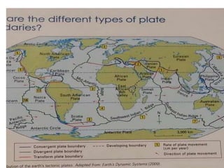
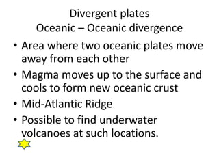
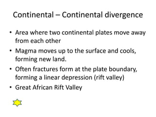


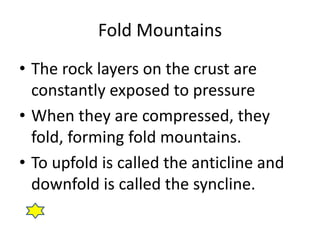
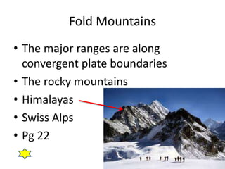
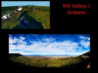


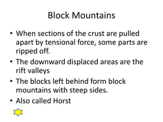
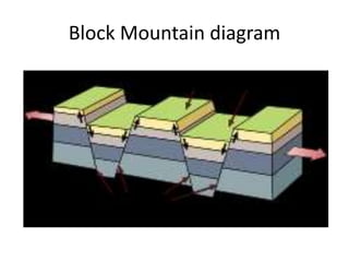

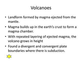


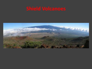
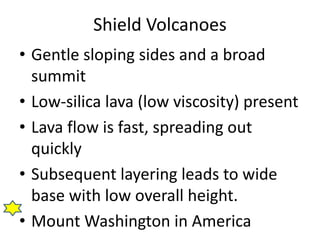
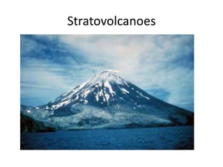

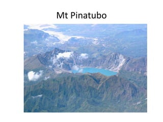


This document provides information about natural hazards such as earthquakes and volcanoes. It discusses the different types of plate boundaries including divergent, convergent and transform boundaries. It describes associated landforms such as fold mountains, rift valleys, block mountains and volcanoes. The document explains different types of volcanoes including shield volcanoes and composite volcanoes. It discusses volcanic eruptions and distribution of volcanoes along the Pacific Ring of Fire. The risks of living near volcanoes are outlined, as well as some benefits. Earthquakes are also described, including factors that influence damage and preparedness measures.


