Download to read offline

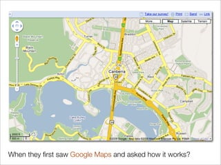

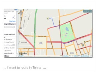
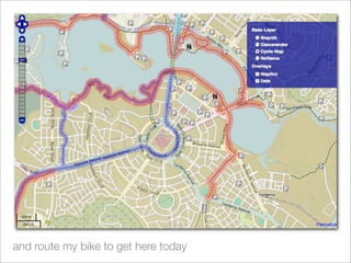
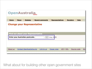
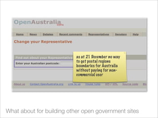

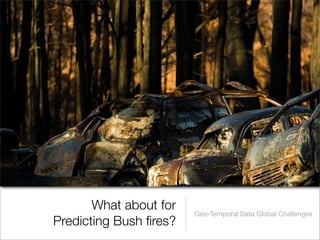
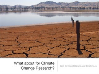


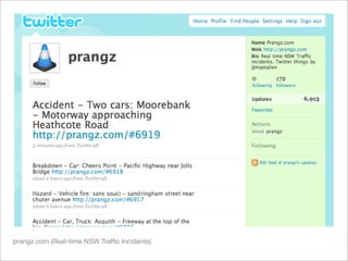
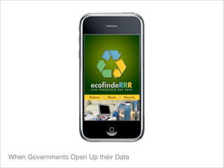


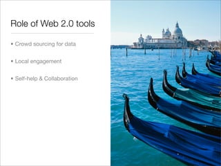


This document discusses the benefits of opening up geographic data to fuel innovation. It notes that while maps are useful, the underlying data is even more valuable for tasks like routing, themed cartography, and addressing global issues. However, the data has traditionally been restricted by specialist industry and academia. The document argues that opening the data and using web standards and crowdsourcing allows more people to work with it and develop creative solutions.