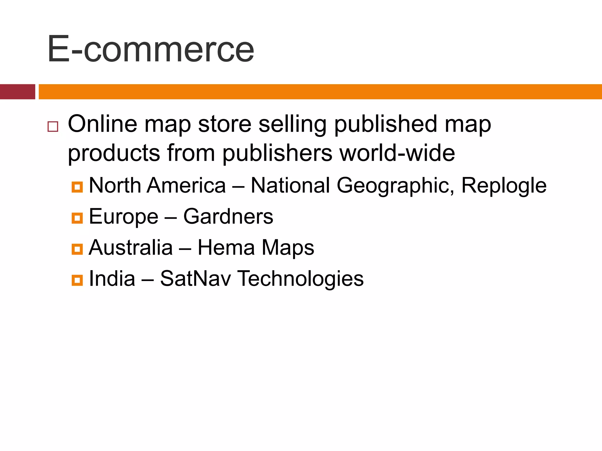
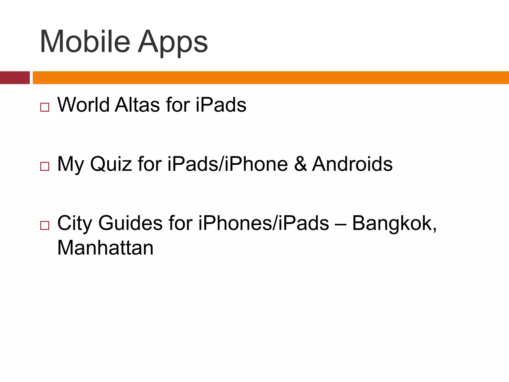
Downloaded 35 times
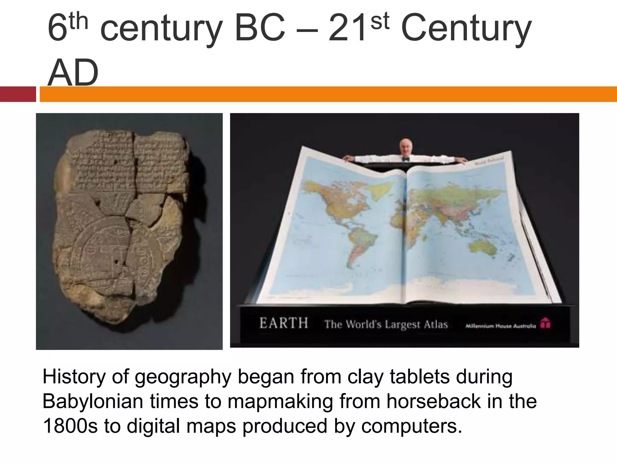
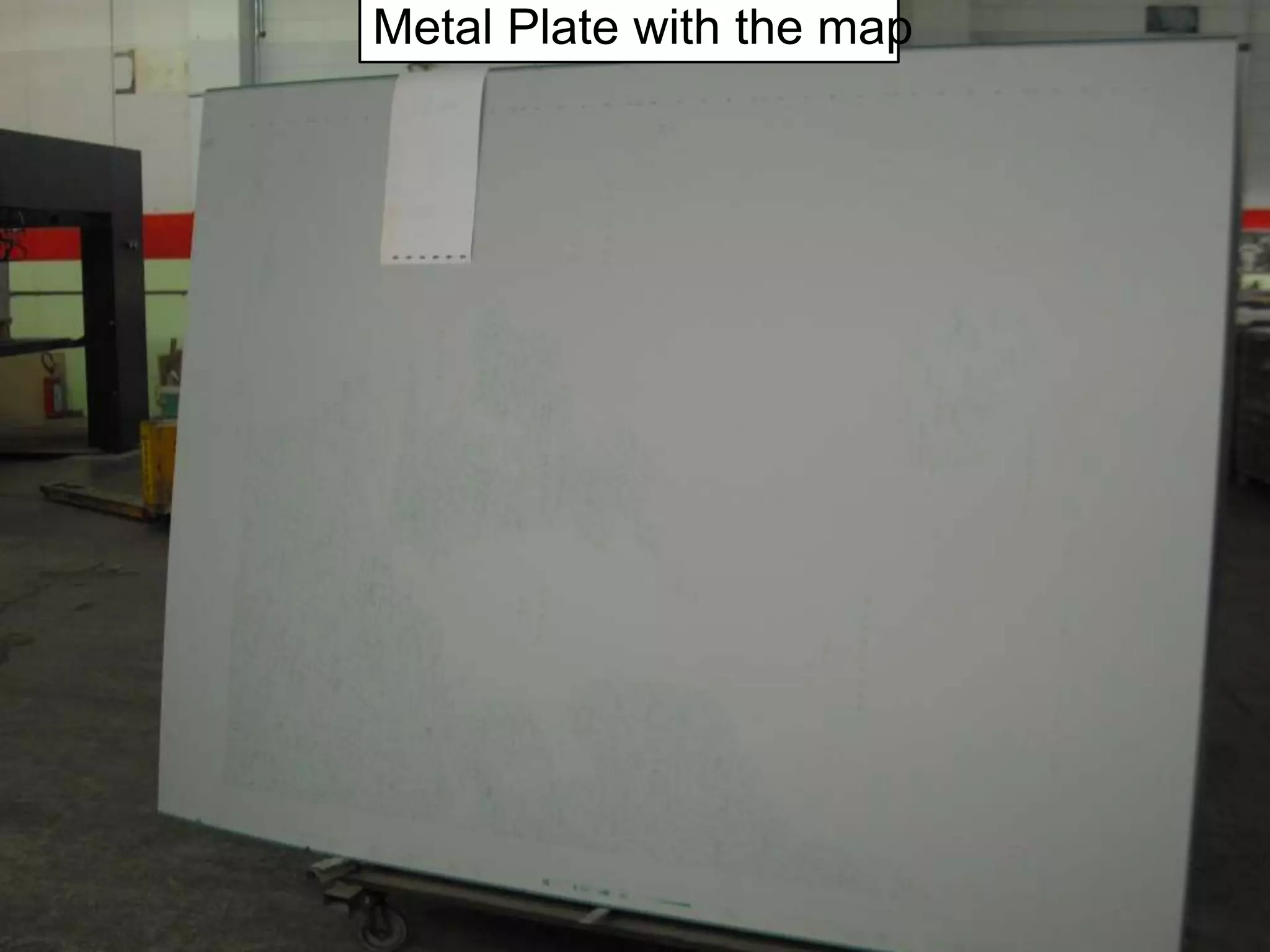
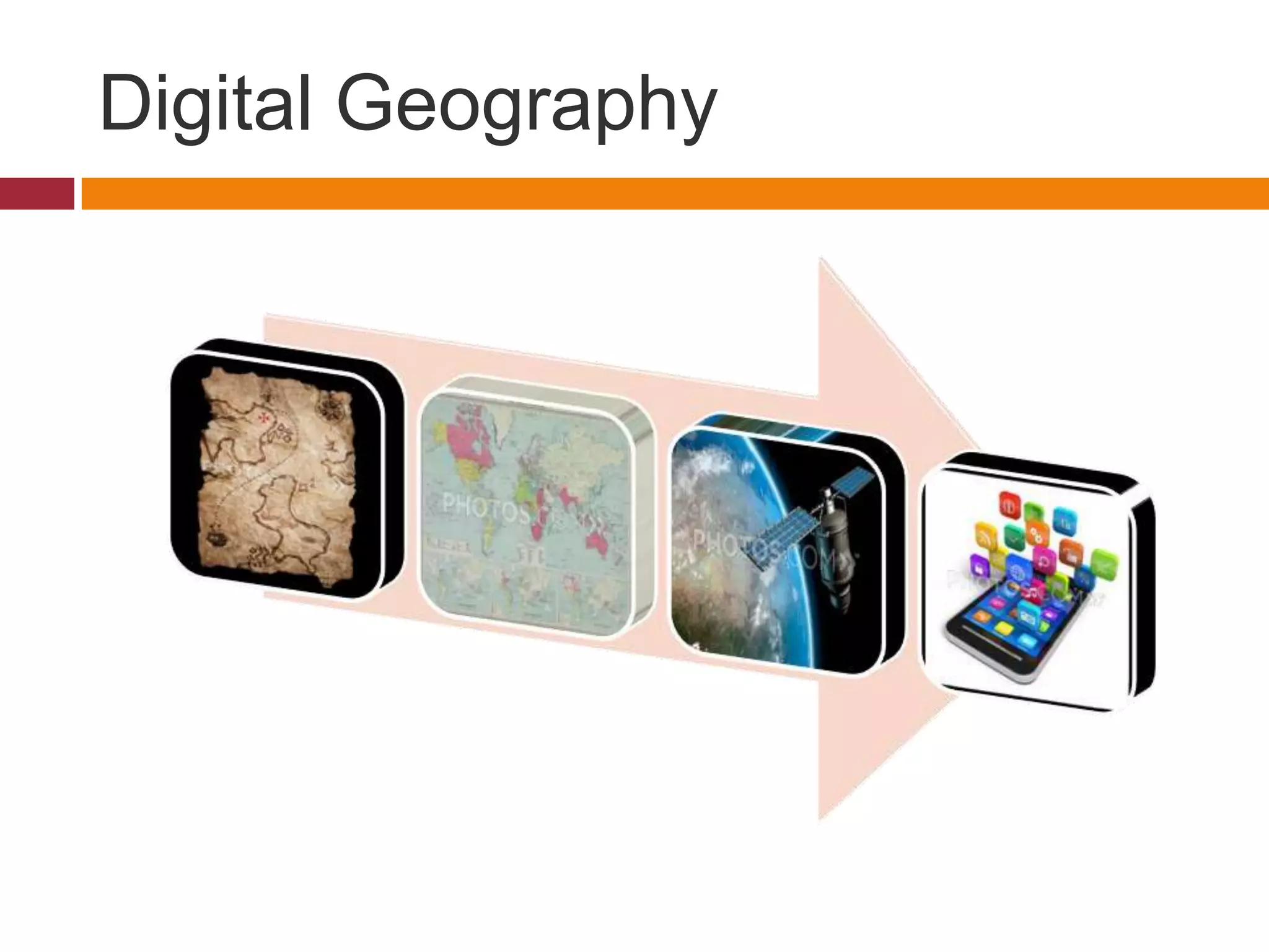
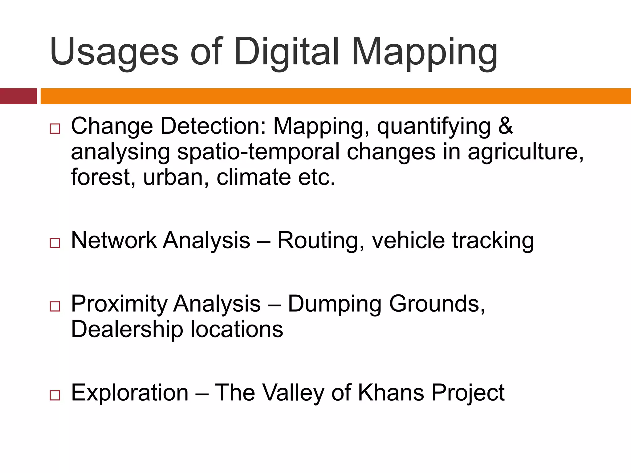
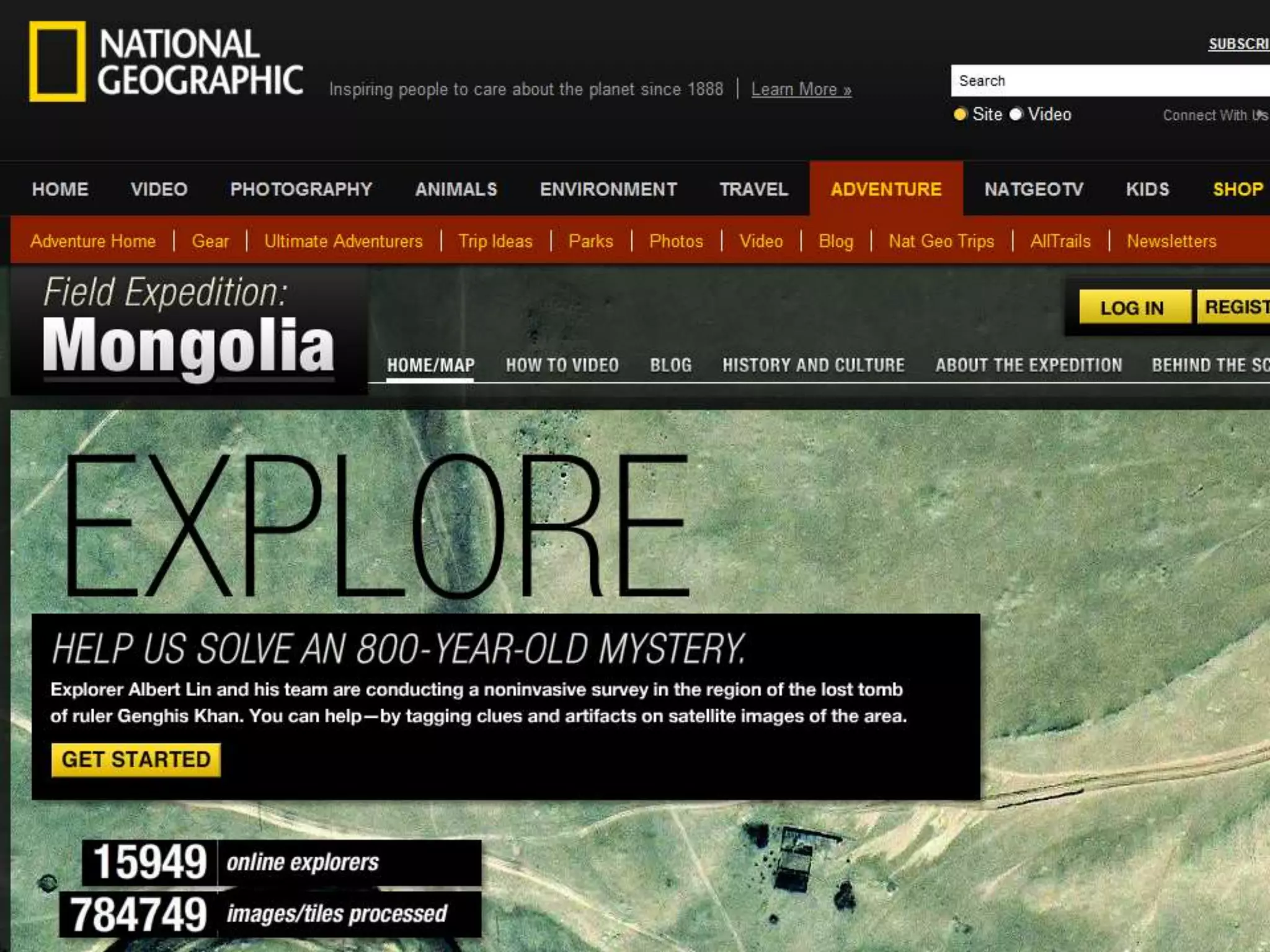
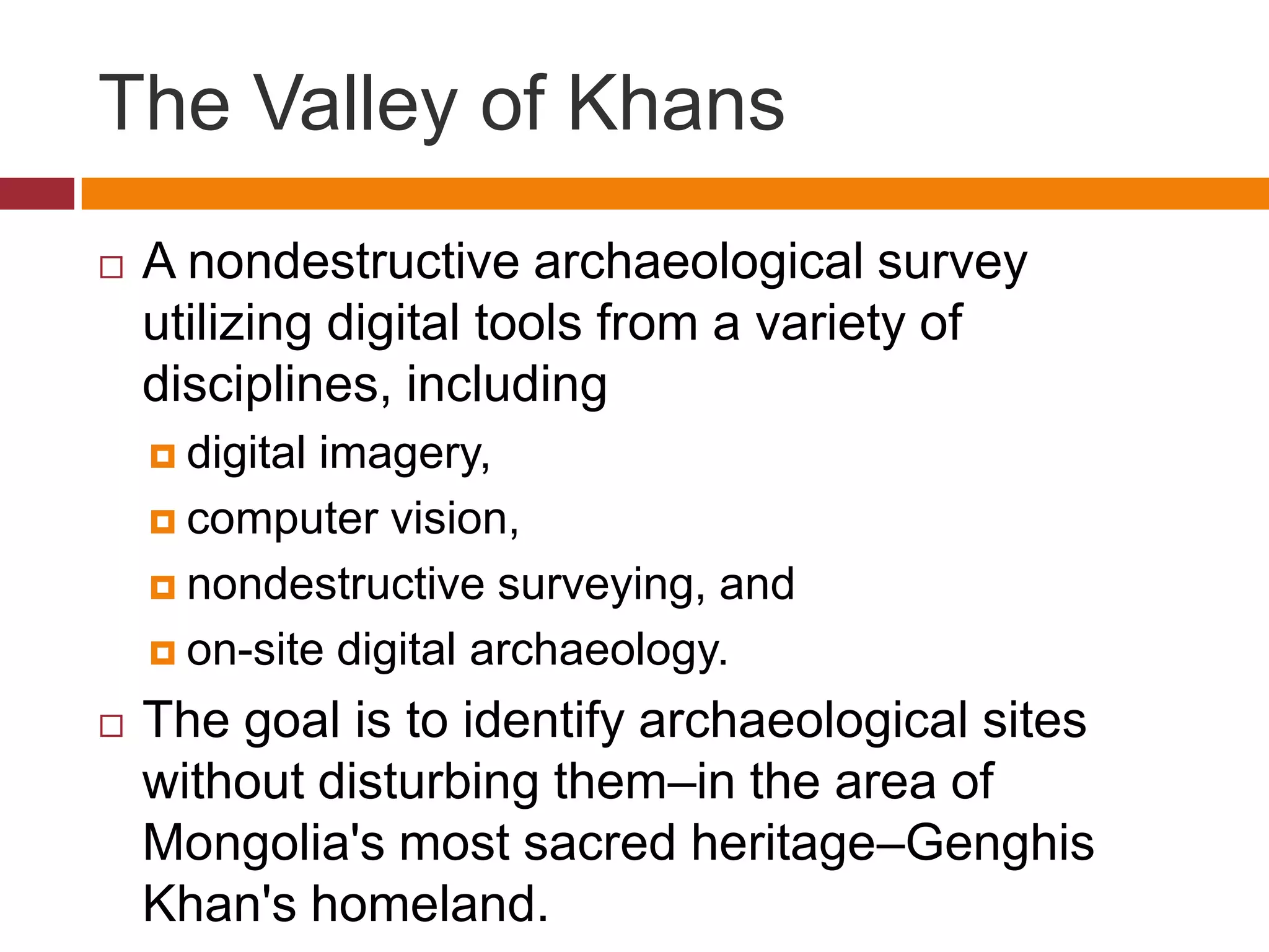
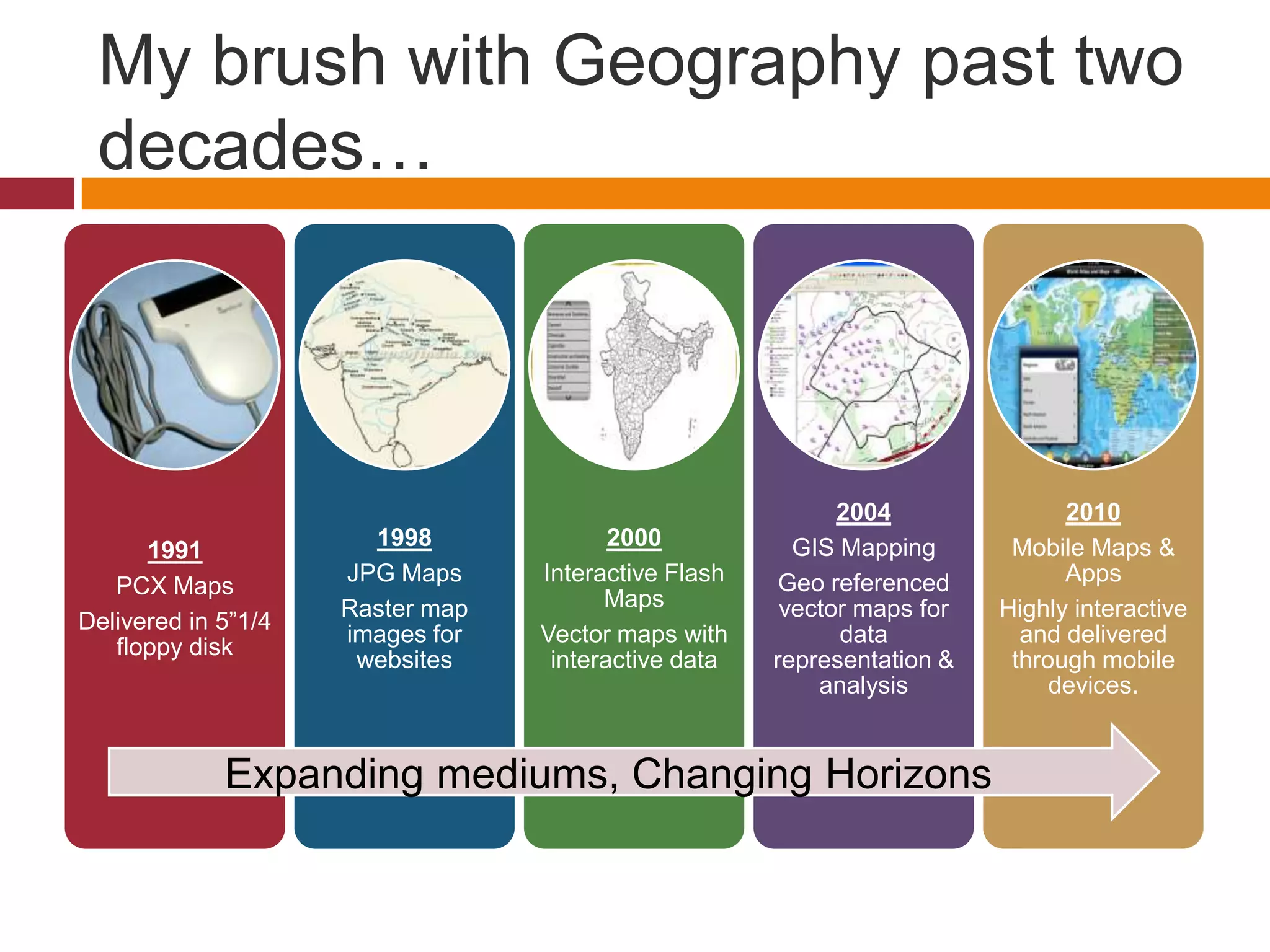
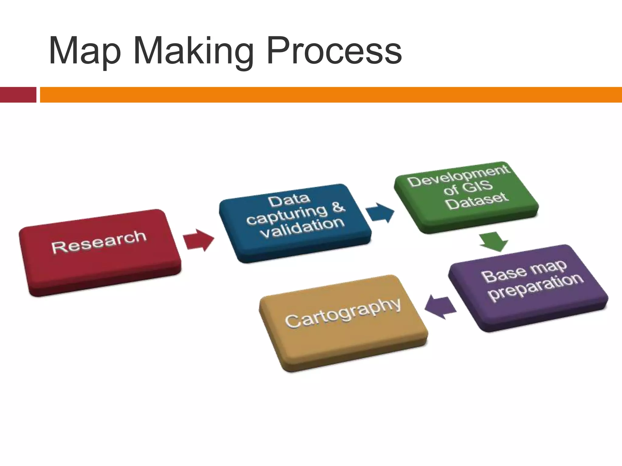
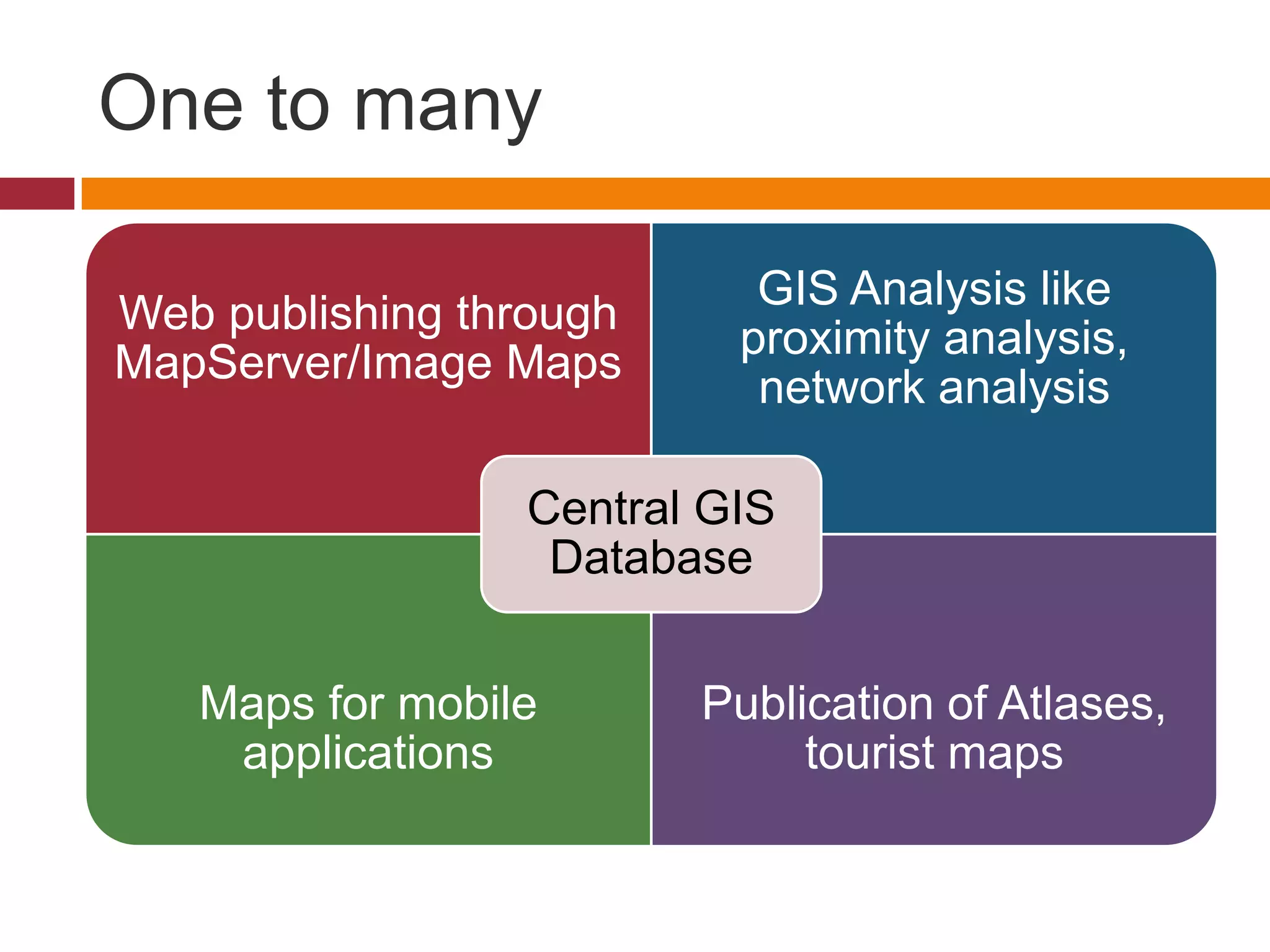

Geography has evolved greatly from clay tablets to digital maps. Technology has been a catalyst for this evolution, from metal plate maps to using databases and visualization with digital geography. Modern uses of digital mapping include change detection, network analysis, and proximity analysis. The Valley of Khans project utilizes digital tools like imagery and computer vision to identify archaeological sites in Mongolia without disturbing them. Mapmaking has expanded from PCX maps on floppy disks to interactive mobile apps. Geography in the 21st century involves GIS analysis, web publishing, custom mapping, e-commerce, and mobile applications.


