
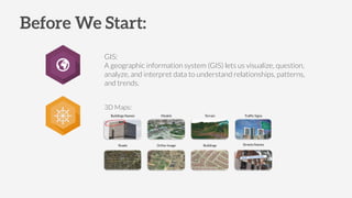
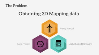
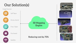
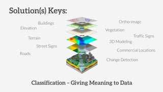
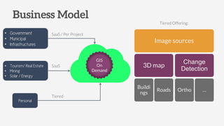
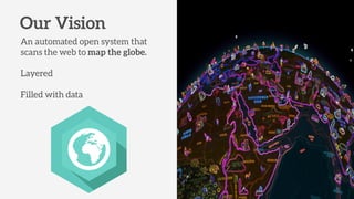
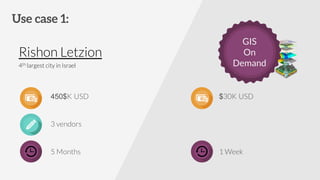
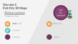
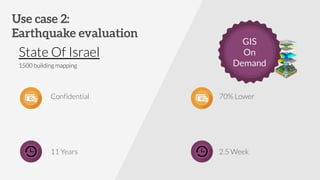
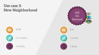
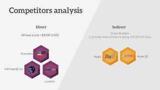

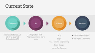
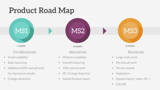

This document summarizes a geographic information system (GIS) that provides 3D mapping services on demand. The GIS uses various data sources like drones, aerial imagery, and satellite images to create 3D models of buildings, roads, terrain and other landscape features with less manual work than traditional methods. It aims to offer these customized 3D mapping services faster and at a lower cost than other vendors. The startup is currently pre-alpha but plans scaled versions with more automation and capabilities over time to build an on-demand GIS platform.


![Figure out your place in the funnel - eCommerce 2016 [Fash&Tech event]](https://cdn.slidesharecdn.com/ss_thumbnails/figurefunnelecomm2016-160228183830-thumbnail.jpg?width=640&height=640&fit=bounds)


