Downloaded 156 times
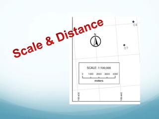
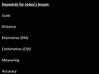
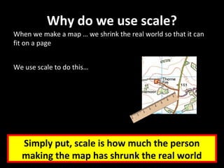
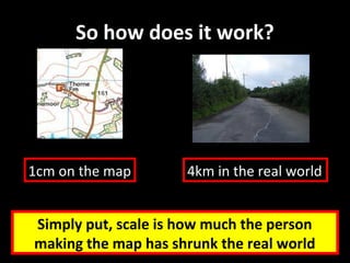
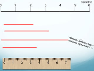
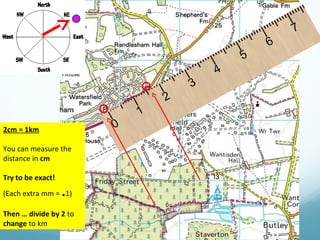
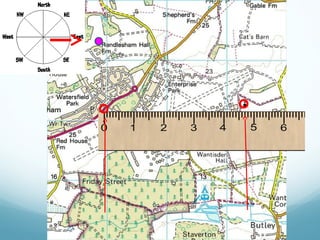
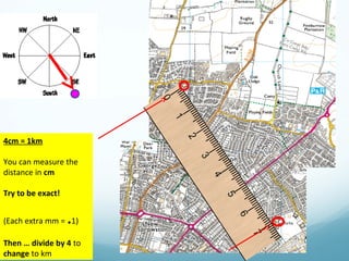
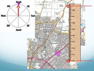
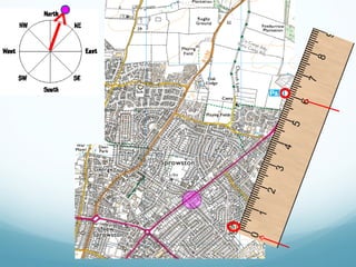
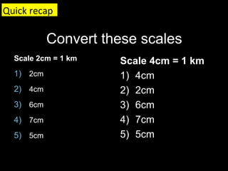
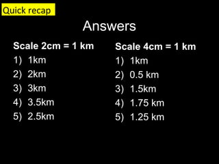
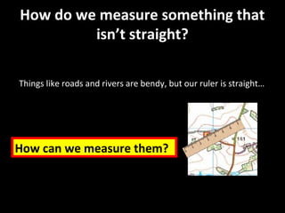
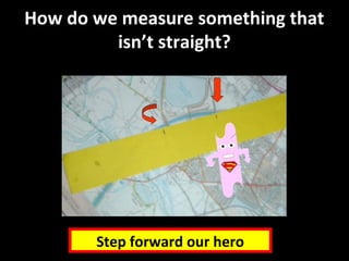
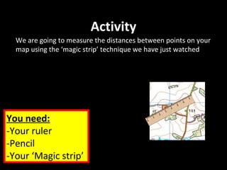

Scale is used on maps to shrink the real world so that it fits on the page. Scale represents how much the mapmaker has reduced the actual distances and sizes. The document teaches how to use different map scales by relating centimeter measurements on the map to equivalent kilometer distances in real life. It also introduces a "magic strip" technique to measure curved or irregular distances on a map using a flexible strip instead of a standard ruler.