Download to read offline

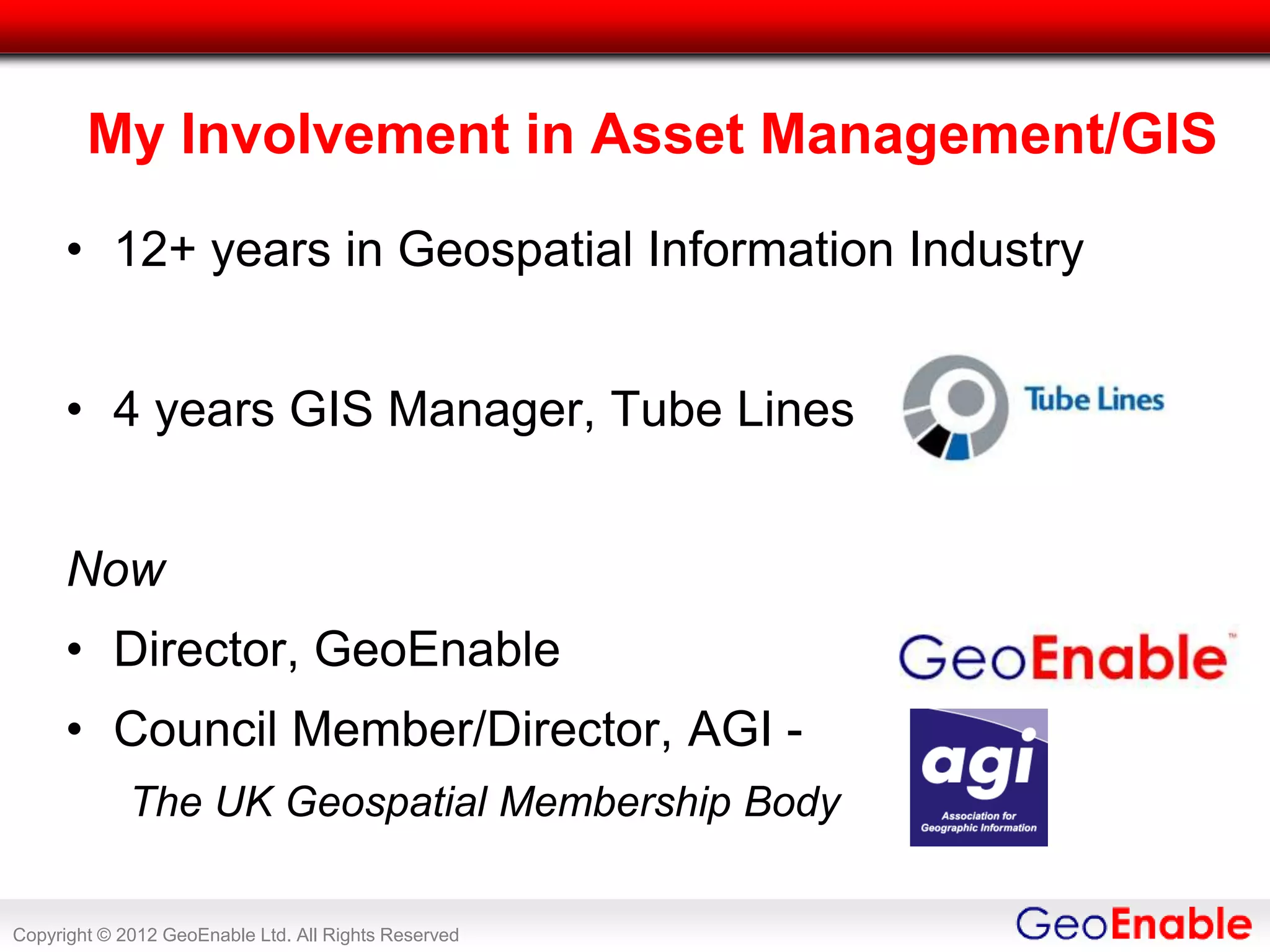


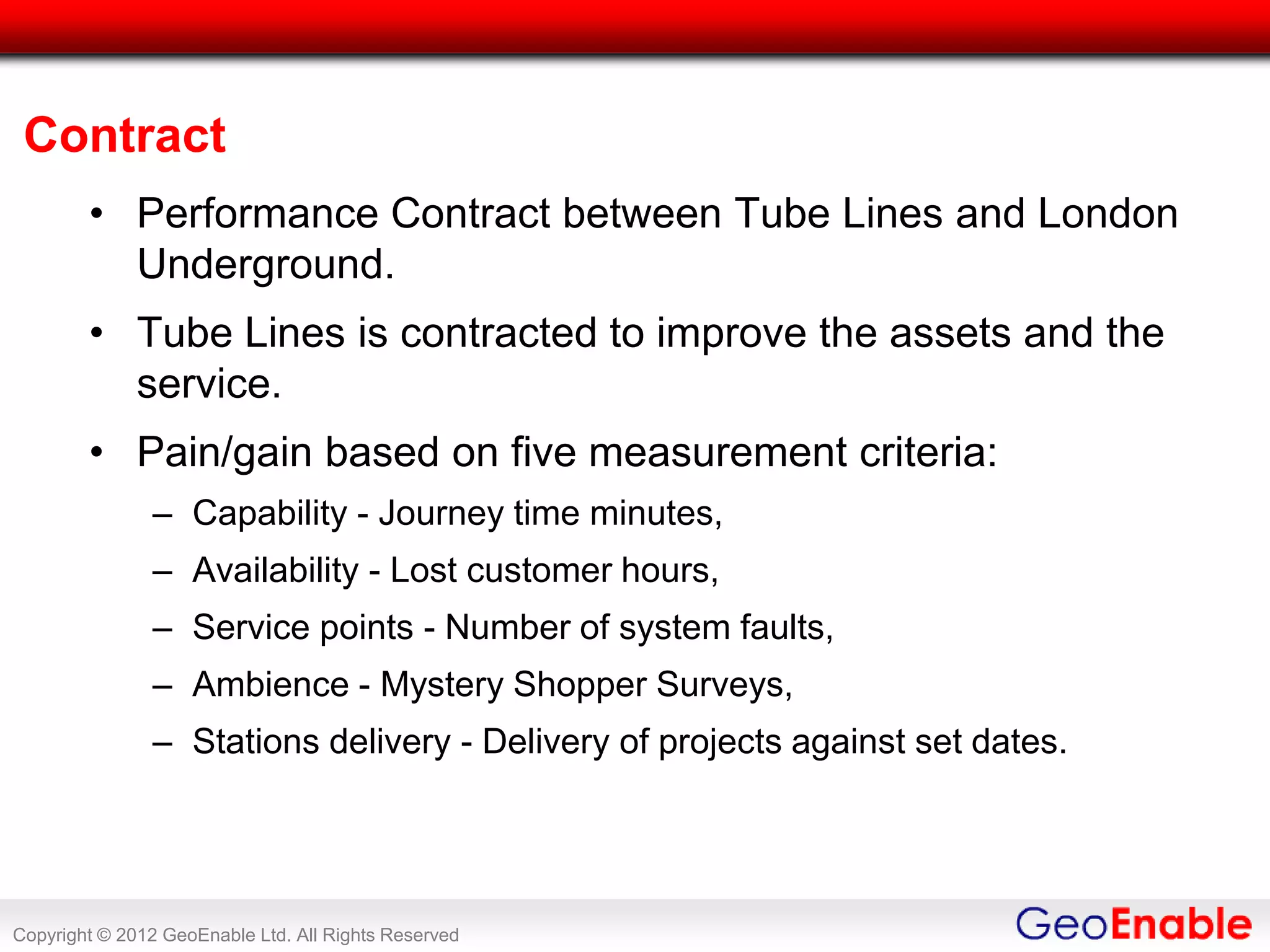
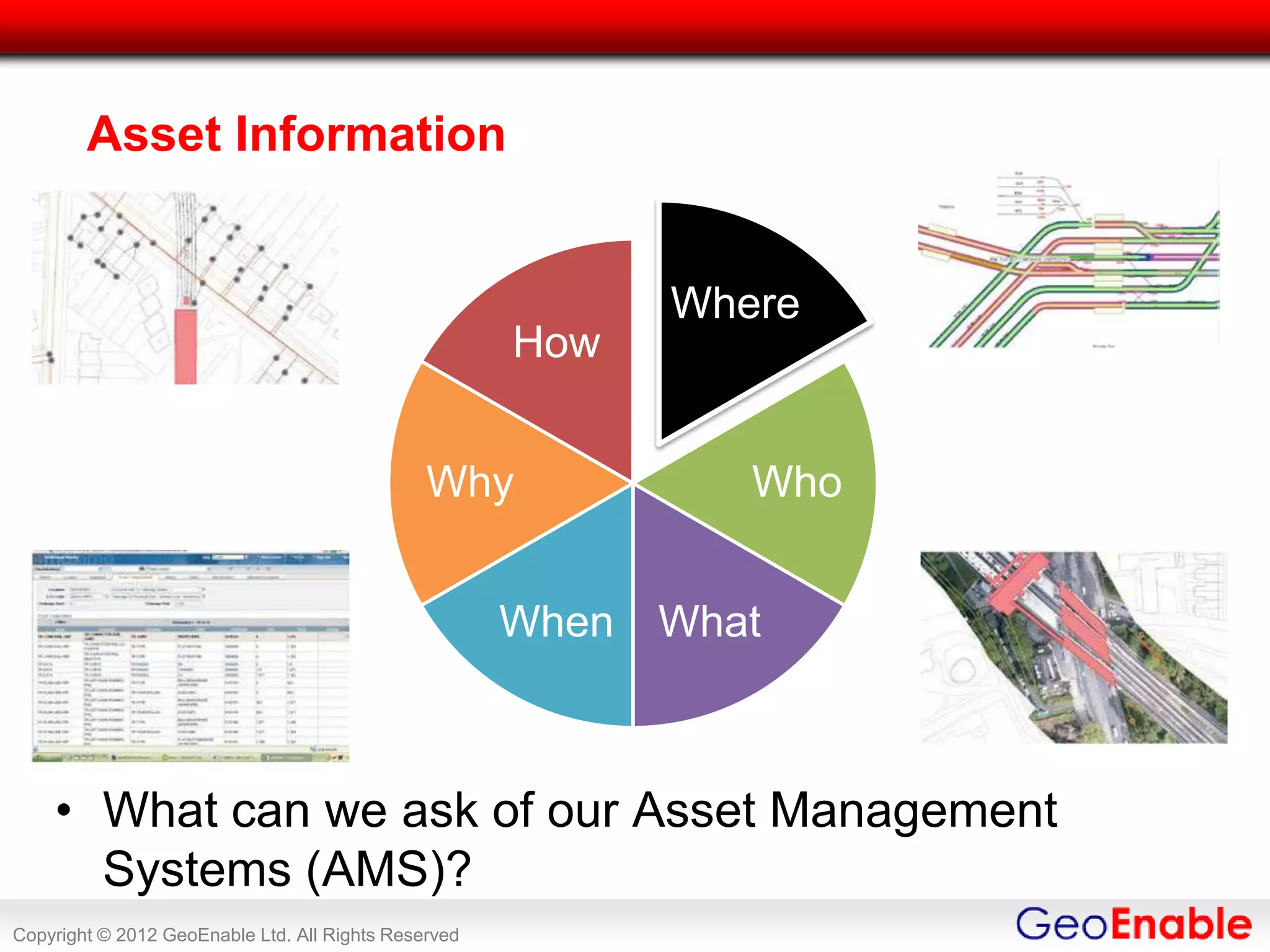
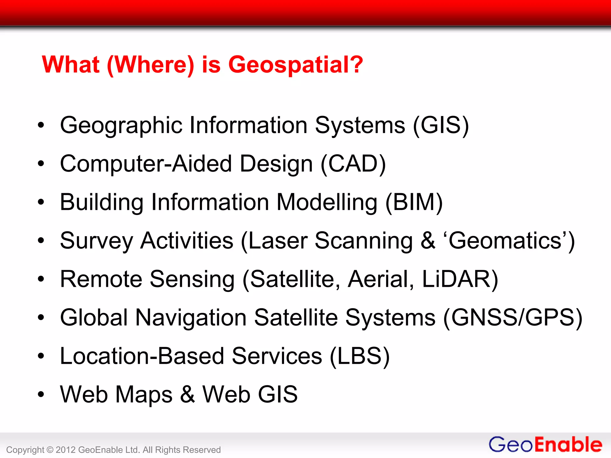
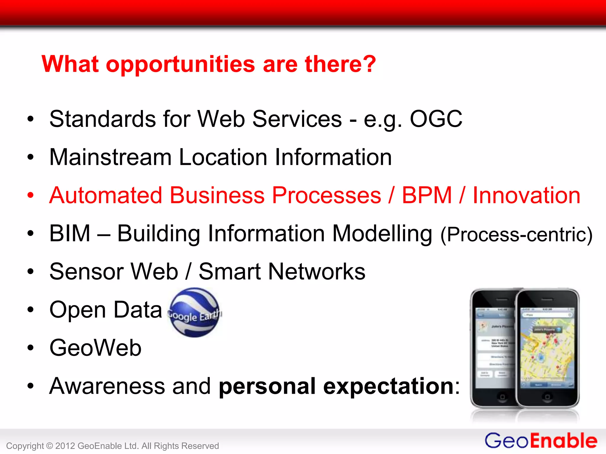
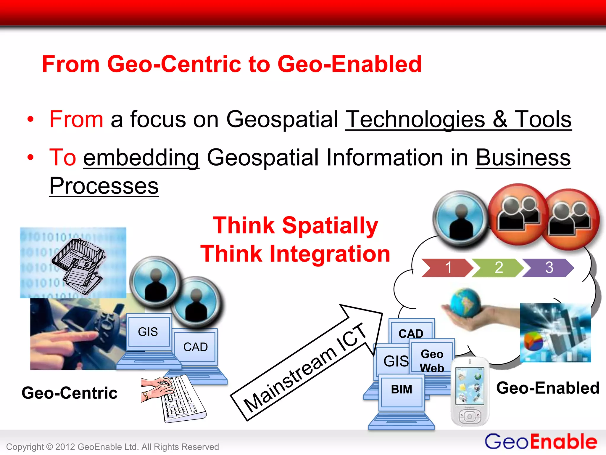
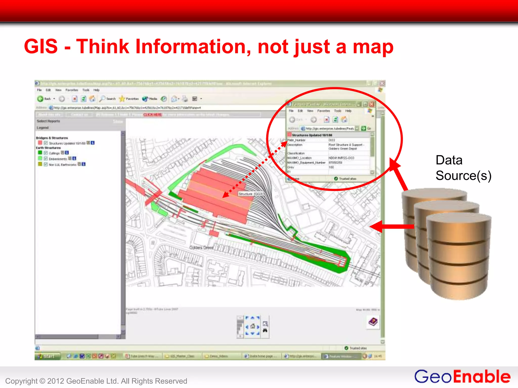
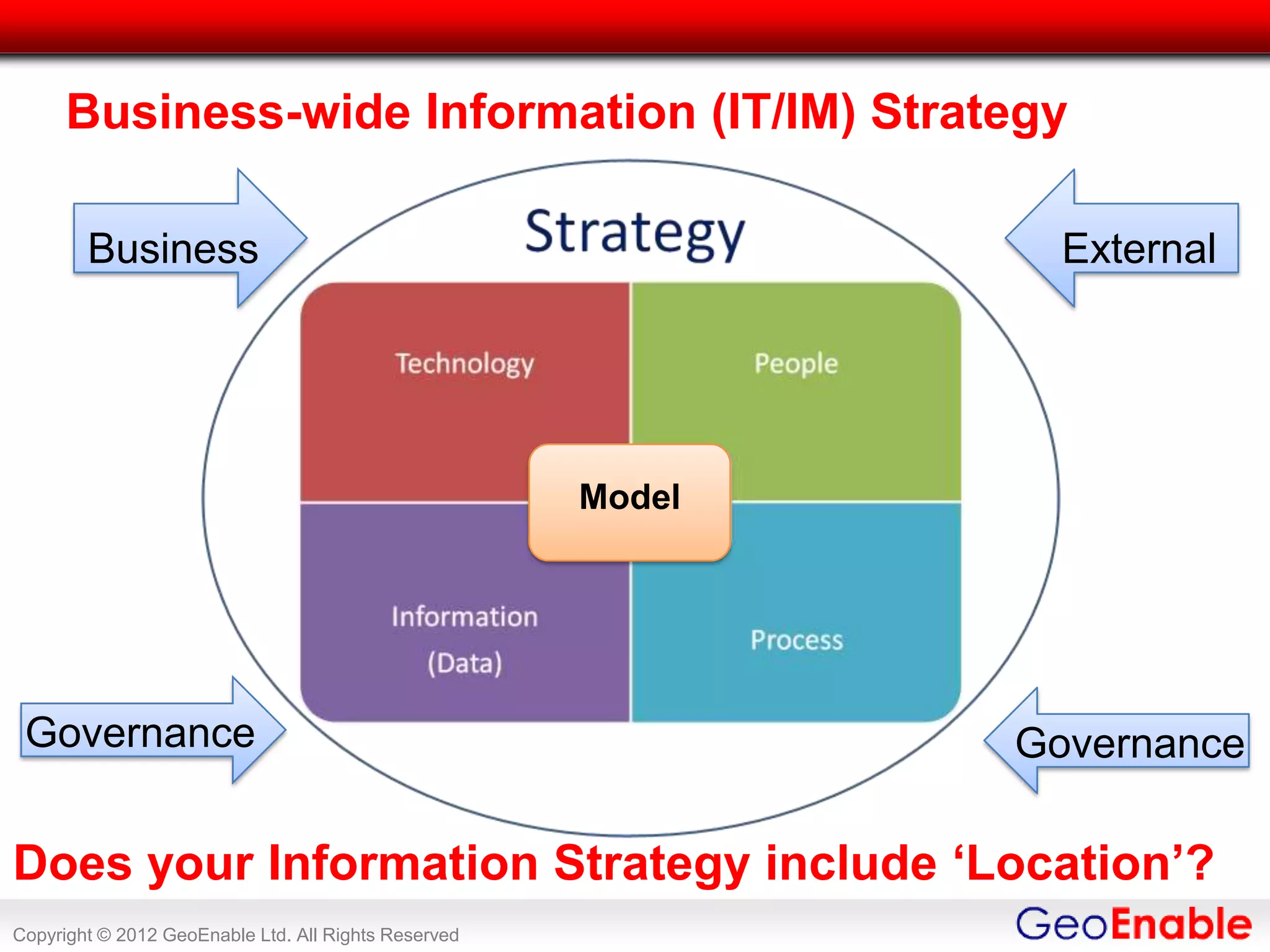
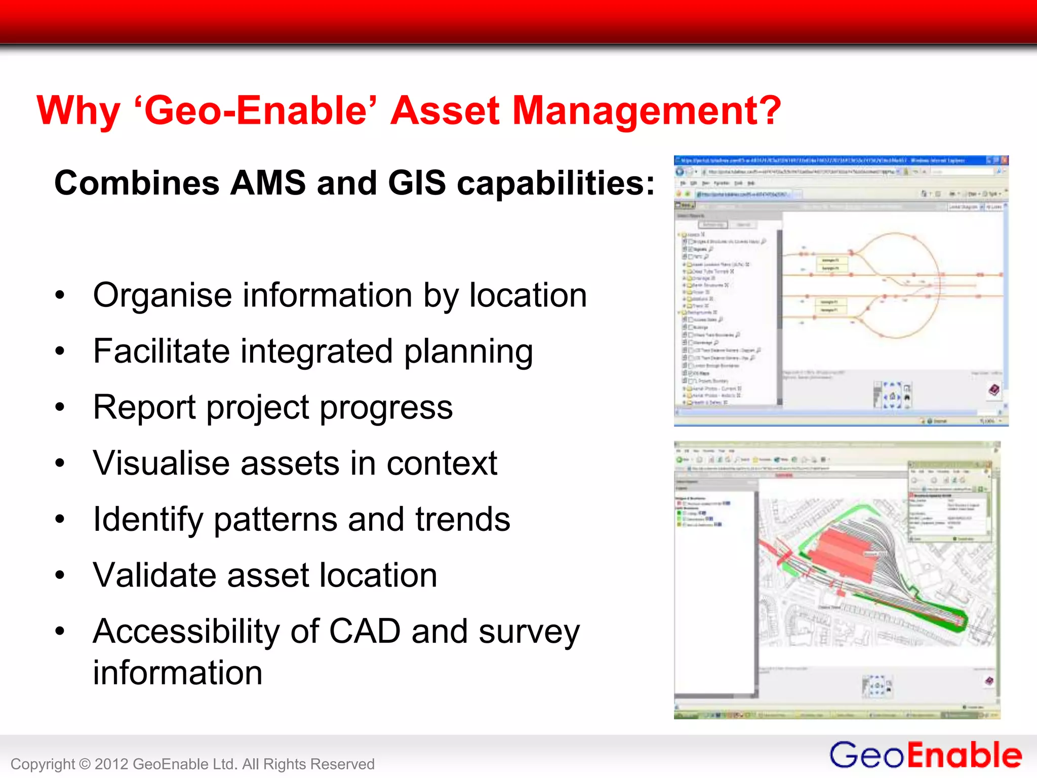


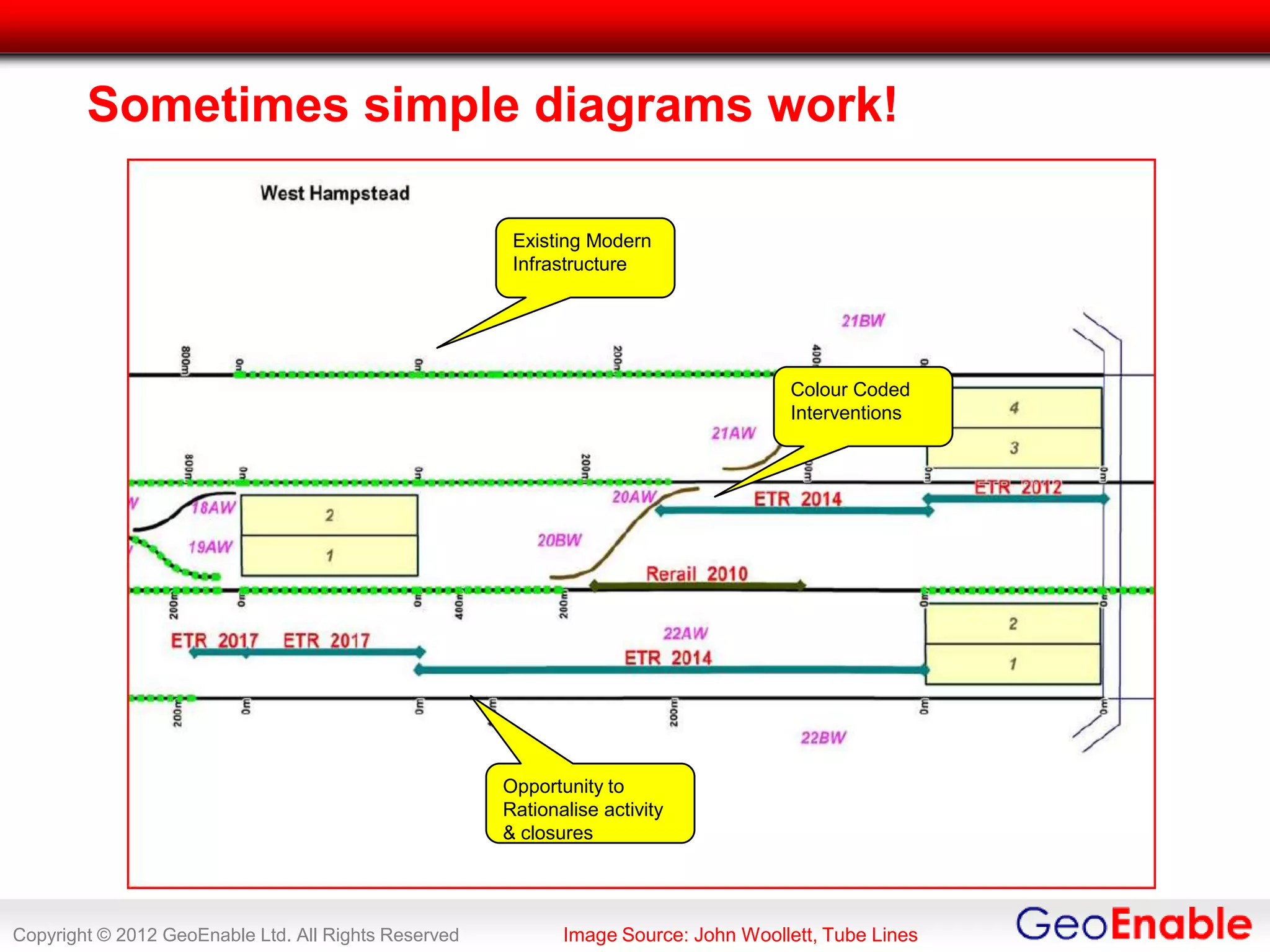

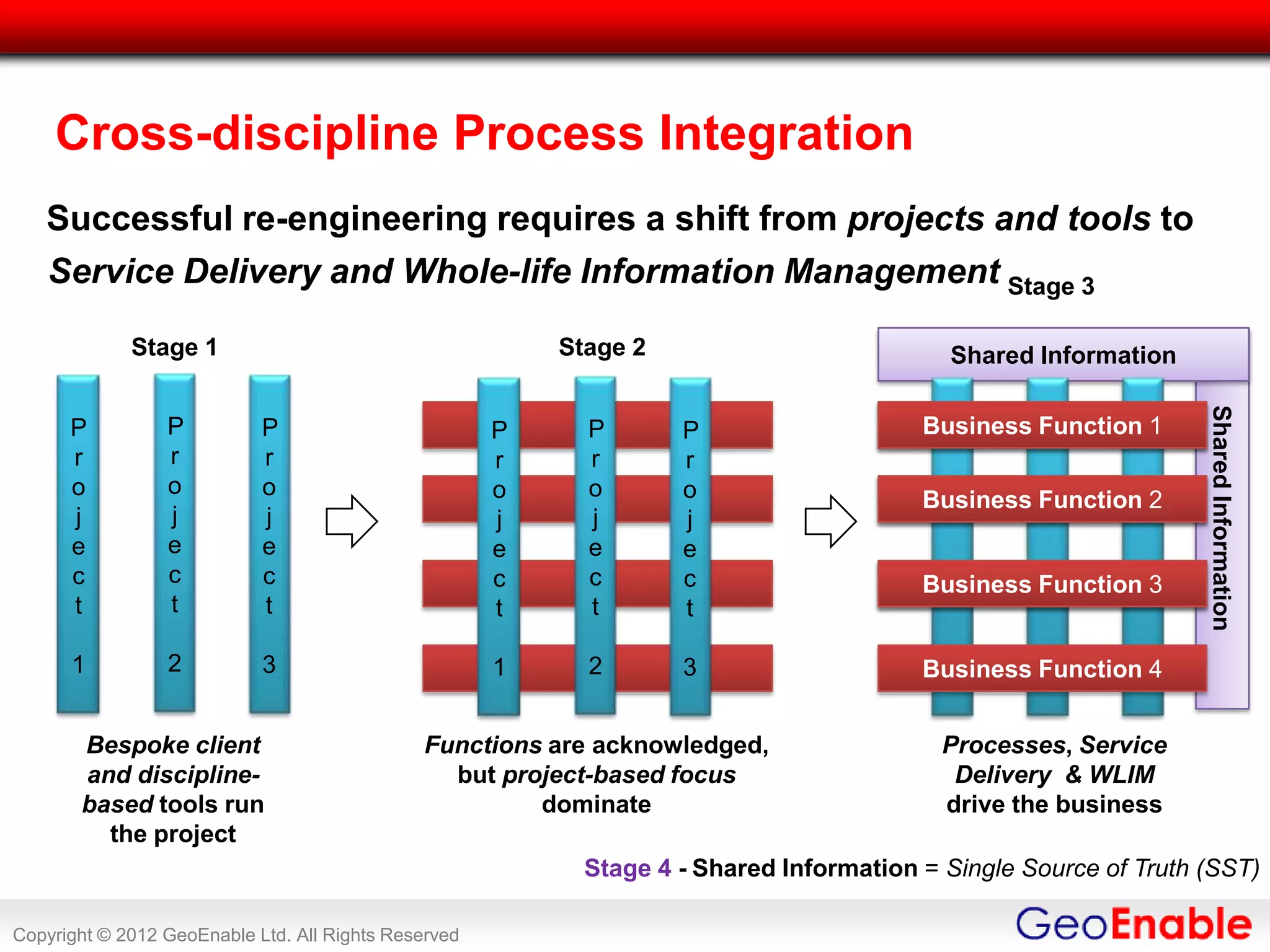


The document discusses the importance of geo-enablement for GIS professionals, detailing the integration of geospatial information into asset management processes and business strategies. It highlights the challenges and opportunities in leveraging geographic technologies for improved decision-making and service delivery within organizations like Tube Lines, which manages London Underground assets. Key themes include the necessity of standards, the role of metadata, and the shift from project-based approaches to service-oriented information management.


