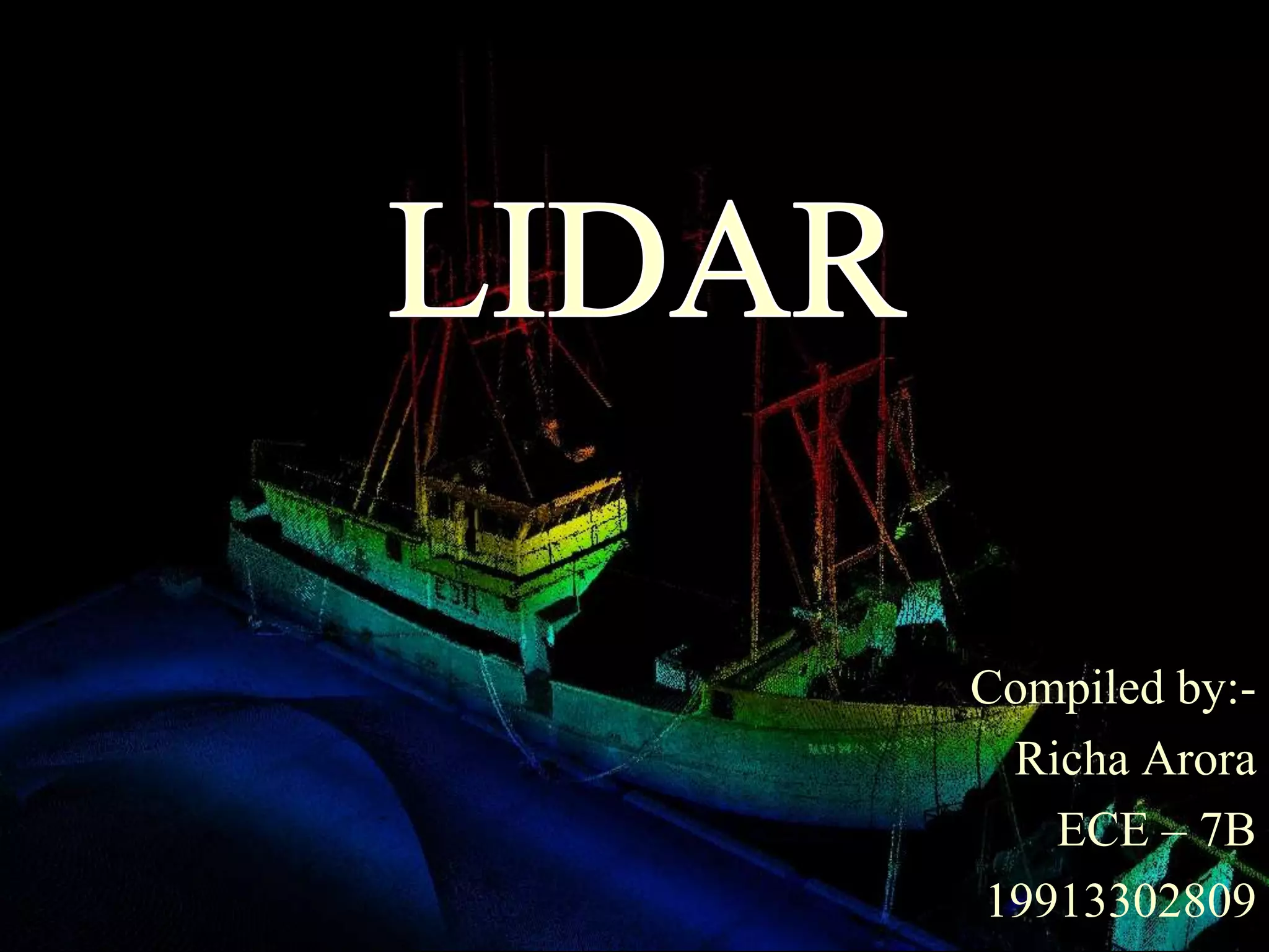
Compiled by:-
 Richa Arora
   ECE – 7B
19913302809
• LIDAR (Light Detection And Ranging,
  also LADAR) is an optical remote sensing
  technology that can measure the distance to,
  or other properties of a target by illuminating
  the target with light, often using pulses from
  a laser..
The term "laser radar" is sometimes used, even though
LIDAR does not employ microwaves or radio waves and
therefore is not radar in the strict sense of the word.

LIDAR uses ultraviolet, visible, or infrared light to
image objects and can be used with a wide range of
targets, including non-metallic objects, rocks, rain,
chemical compounds

A narrow laser beam can be used to map physical features
with very high resolution.
Basic Principle
This animation shows a LIDAR with
a single beam scanned in one axis.


The top image shows the scanning
mechanism


the middle image shows the laser's
path through a basic scene


the bottom image shows the sensor's
output, after conversion from polar to
Cartesian coordinates.
What can we measure with lidar?

  •   Clouds
  •   Aerosol
  •   Water vapour
  •   Minor constituents e.g. ozone, hydrocarbons
  •   Temperature

Lidars can be used from the ground, aircraft or from space
Components used in lidar…


1)    Laser

2)    Scanner and optics

3)    Photodetector and receiver electronics

4)    Position and navigation systems
Laser

• 600–1000 nm lasers are most common for
  non-scientific applications.

• Better target resolution is achieved with
  shorter pulses, provided the LIDAR receiver
  detectors and electronics have sufficient
  bandwidth.
Scanners and optics
• How fast images can be developed is also affected
  by the speed at which they are scanned.

• Optic choices affect the angular resolution and
  range that can be detected. A hole mirror or
  a beam splitter are options to collect a return signal
Photodetector and receiver
           electronics

• Two main photodetector technologies are used in
                   From
                   atmosphere      Receiver
  lidars: solid state photodetectors, such as silicon
  avalanche photodiodes, or photomultipliers.

• The sensitivity of the receiver is another parameter
  that has to be balanced in a LIDAR design.
Position and navigation systems

- LIDAR sensors that are mounted on mobile
  platforms such as airplanes or satellites
  require instrumentation to determine the
  absolute position and orientation of the
  sensor.
- Such devices generally include a Global
  Positioning System receiver and an Inertial
  Measurement Unit (IMU).
Applications..
• Agriculture- LIDAR also can be used to help farmers
  determine which areas of their fields to apply costly fertilizer
  to achieve highest crop yeild. LIDAR can create a
  topographical map of the fields and reveals the slopes and sun
  exposure of the farm land.
• Biology and conservation-                LIDAR has also found
  many applications
  in forestry. Canopy heights, biomass measurements, and leaf
  area can all be studied using LIDAR systems. Similarly,
  LIDAR is also used by many industries, including Energy and
  Railroad, and the Department of Transportation as a faster way
  of surveying. Topographic maps can also be generated readily
  from LIDAR,
Continued..
• Wind farm optimization-Lidar can be used to
  increase the energy output from wind farms by accurately
  measuring wind speeds and wind turbulence. An
  experimental lidar is mounted on a wind turbine rotor to
  measure oncoming horizontal winds, and proactively adjust
  blades to protect components and increase power.
• Law enforcement- LIDAR speed guns are used by the
  police to measure the speed of vehicles for speed limit
  enforcement purposes
Advantages of LIDAR technology
The other methods of topographic data collection are land
surveying, GPS, inteferrometry, and photogrammetry. LiDAR
technology has some advantages in comparison to these methods,
which are being listed below:

1) Higher accuracy
2) Fast acquisition and processing
3) Minimum human dependence- As most of the processes are
automatic unlike photogrammetry, GPS or land surveying.
 4) Weather/Light independence- Data collection independent
of sun inclination and at night and slightly bad weather.
5) Canopy penetration-LiDAR pulses can reach beneath the
canopy thus generating measurements of points there unlike
photogrammetry.
Continued..
6)      Higher data density - Up to 167,000 pulses per second.
     More than 24 points per m2 can be measured.
     n Multiple returns to collect data in 3D.

7)        Cost - Is has been found by comparative studies
     that LiDAR data is cheaper in many applications. This is
     particularly considering the speed, accuracy and density of
     data.
Disadvantages
• High operating costs (> £10k / hour)
• Ineffective during heavy rain and/or low cloud/mist
• Degraded at high Sun angles and reflections
• Latency data not processed locally
• Unreliable for water depth (< 2m) and breaking/turbulent
  waves
• Lack of foliage/vegetation penetration
• Precise alignment must be maintained
Future scope
The lidar technology is now planned for a wide range of applications that can
enable NASA’s achievement of its scientific and space exploration goals. These
applications fall into four general categories:

a) Earth   Science: long-duration orbiting instruments providing global
monitoring of the atmosphere and land

b) Planetary   Science: orbiting or land-based scientific instruments providing
geological and atmospheric data of solar system bodies

c) Landing Aid: sensors providing hazard avoidance, guidance and navigation
data

d) Rendezvous      and Docking Aid : sensors providing spacecraft bearing,
distance, and approach velocity
Summary
• Lidar technique allows continuous
  monitoring of profiles with good height
  resolution
• Different scattering mechanisms permit
  different kinds of measurement
• New technology offers more compact
  sources and development of transportable
  and mobile systems
LIDAR

LIDAR

  • 1.
    Compiled by:- RichaArora ECE – 7B 19913302809
  • 2.
    • LIDAR (LightDetection And Ranging, also LADAR) is an optical remote sensing technology that can measure the distance to, or other properties of a target by illuminating the target with light, often using pulses from a laser..
  • 3.
    The term "laserradar" is sometimes used, even though LIDAR does not employ microwaves or radio waves and therefore is not radar in the strict sense of the word. LIDAR uses ultraviolet, visible, or infrared light to image objects and can be used with a wide range of targets, including non-metallic objects, rocks, rain, chemical compounds A narrow laser beam can be used to map physical features with very high resolution.
  • 4.
  • 5.
    This animation showsa LIDAR with a single beam scanned in one axis. The top image shows the scanning mechanism the middle image shows the laser's path through a basic scene the bottom image shows the sensor's output, after conversion from polar to Cartesian coordinates.
  • 6.
    What can wemeasure with lidar? • Clouds • Aerosol • Water vapour • Minor constituents e.g. ozone, hydrocarbons • Temperature Lidars can be used from the ground, aircraft or from space
  • 7.
    Components used inlidar… 1) Laser 2) Scanner and optics 3) Photodetector and receiver electronics 4) Position and navigation systems
  • 8.
    Laser • 600–1000 nmlasers are most common for non-scientific applications. • Better target resolution is achieved with shorter pulses, provided the LIDAR receiver detectors and electronics have sufficient bandwidth.
  • 9.
    Scanners and optics •How fast images can be developed is also affected by the speed at which they are scanned. • Optic choices affect the angular resolution and range that can be detected. A hole mirror or a beam splitter are options to collect a return signal
  • 10.
    Photodetector and receiver electronics • Two main photodetector technologies are used in From atmosphere Receiver lidars: solid state photodetectors, such as silicon avalanche photodiodes, or photomultipliers. • The sensitivity of the receiver is another parameter that has to be balanced in a LIDAR design.
  • 11.
    Position and navigationsystems - LIDAR sensors that are mounted on mobile platforms such as airplanes or satellites require instrumentation to determine the absolute position and orientation of the sensor. - Such devices generally include a Global Positioning System receiver and an Inertial Measurement Unit (IMU).
  • 12.
    Applications.. • Agriculture- LIDARalso can be used to help farmers determine which areas of their fields to apply costly fertilizer to achieve highest crop yeild. LIDAR can create a topographical map of the fields and reveals the slopes and sun exposure of the farm land. • Biology and conservation- LIDAR has also found many applications in forestry. Canopy heights, biomass measurements, and leaf area can all be studied using LIDAR systems. Similarly, LIDAR is also used by many industries, including Energy and Railroad, and the Department of Transportation as a faster way of surveying. Topographic maps can also be generated readily from LIDAR,
  • 13.
    Continued.. • Wind farmoptimization-Lidar can be used to increase the energy output from wind farms by accurately measuring wind speeds and wind turbulence. An experimental lidar is mounted on a wind turbine rotor to measure oncoming horizontal winds, and proactively adjust blades to protect components and increase power. • Law enforcement- LIDAR speed guns are used by the police to measure the speed of vehicles for speed limit enforcement purposes
  • 14.
    Advantages of LIDARtechnology The other methods of topographic data collection are land surveying, GPS, inteferrometry, and photogrammetry. LiDAR technology has some advantages in comparison to these methods, which are being listed below: 1) Higher accuracy 2) Fast acquisition and processing 3) Minimum human dependence- As most of the processes are automatic unlike photogrammetry, GPS or land surveying. 4) Weather/Light independence- Data collection independent of sun inclination and at night and slightly bad weather. 5) Canopy penetration-LiDAR pulses can reach beneath the canopy thus generating measurements of points there unlike photogrammetry.
  • 15.
    Continued.. 6) Higher data density - Up to 167,000 pulses per second. More than 24 points per m2 can be measured. n Multiple returns to collect data in 3D. 7) Cost - Is has been found by comparative studies that LiDAR data is cheaper in many applications. This is particularly considering the speed, accuracy and density of data.
  • 16.
    Disadvantages • High operatingcosts (> £10k / hour) • Ineffective during heavy rain and/or low cloud/mist • Degraded at high Sun angles and reflections • Latency data not processed locally • Unreliable for water depth (< 2m) and breaking/turbulent waves • Lack of foliage/vegetation penetration • Precise alignment must be maintained
  • 17.
    Future scope The lidartechnology is now planned for a wide range of applications that can enable NASA’s achievement of its scientific and space exploration goals. These applications fall into four general categories: a) Earth Science: long-duration orbiting instruments providing global monitoring of the atmosphere and land b) Planetary Science: orbiting or land-based scientific instruments providing geological and atmospheric data of solar system bodies c) Landing Aid: sensors providing hazard avoidance, guidance and navigation data d) Rendezvous and Docking Aid : sensors providing spacecraft bearing, distance, and approach velocity
  • 18.
    Summary • Lidar techniqueallows continuous monitoring of profiles with good height resolution • Different scattering mechanisms permit different kinds of measurement • New technology offers more compact sources and development of transportable and mobile systems