Downloaded 157 times
![[LiDAR]](https://image.slidesharecdn.com/abouttoperfect-150426035717-conversion-gate02/85/LiDAR-1-320.jpg)
![[LiDAR]](https://image.slidesharecdn.com/abouttoperfect-150426035717-conversion-gate02/75/LiDAR-1-2048.jpg)
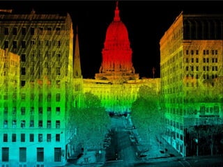
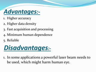
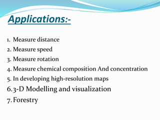


LiDAR is an active remote sensing technique that uses laser light to image objects. It was invented in the 1960s and became popular after being used on the Apollo 15 mission to map the moon's surface. LiDAR works by measuring the time it takes for a laser pulse to be reflected off an object and return, allowing it to create precise 3D models of surfaces and objects. It has numerous applications like terrain mapping, forestry, archaeology and more due to its speed, accuracy and ability to capture dense point cloud data without human involvement. While powerful lasers pose safety risks, LiDAR provides significant advantages over passive imaging and is an important remote sensing tool.