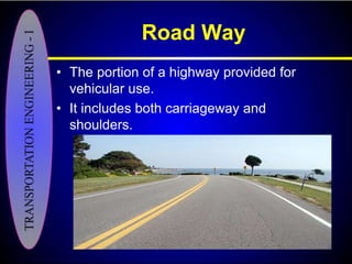
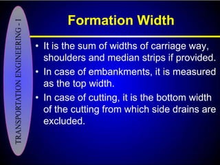
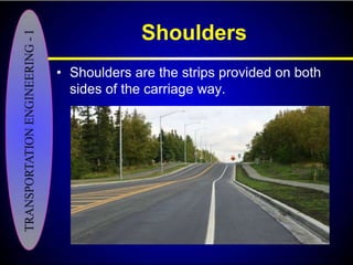
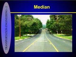
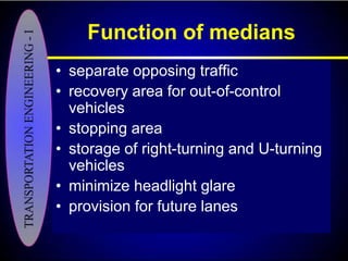
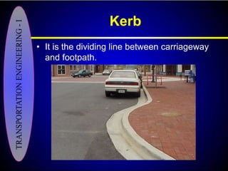
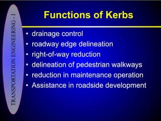
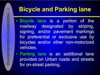
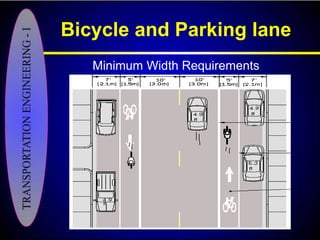
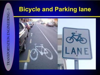
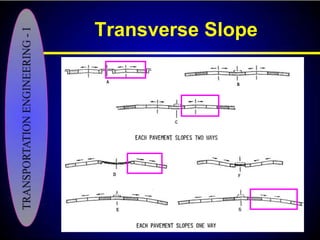
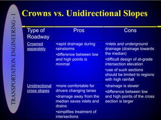
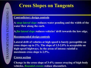
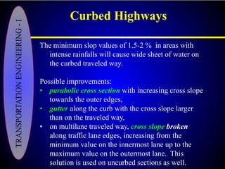
Download to read offline


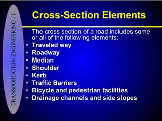


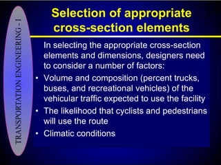
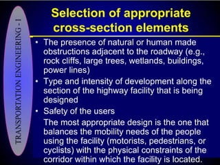
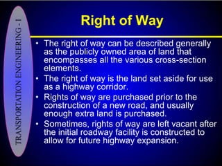

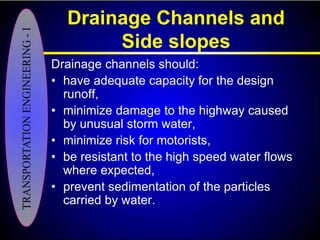
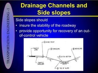


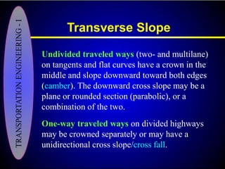
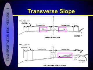

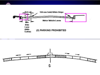
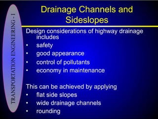

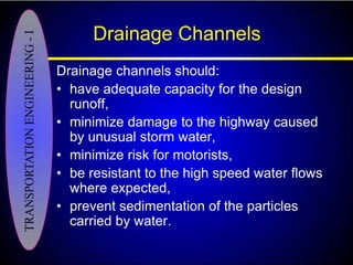
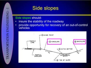


The document discusses the typical elements that make up the cross-section of a road, including the traveled way, roadway, shoulders, median, kerb, drainage channels, and right-of-way. It describes the purposes and design considerations for each element. Key factors in selecting the appropriate cross-section include traffic volume, composition and size of vehicles, presence of other road users, climatic conditions, and surrounding land development. The cross-section must provide adequate drainage while balancing mobility needs with physical constraints.