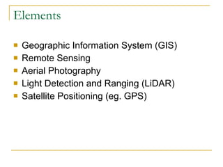
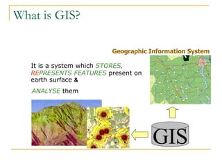
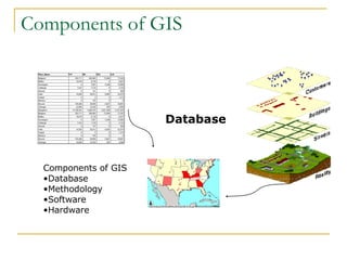
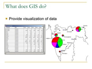
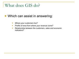
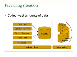
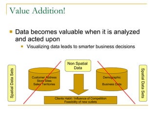
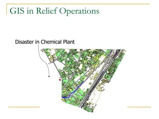
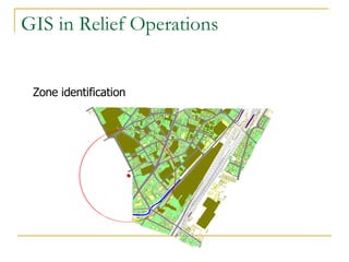
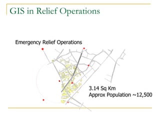
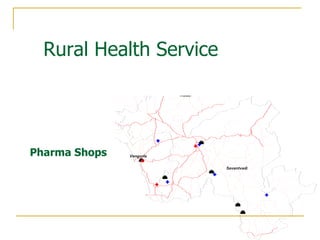
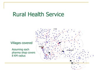
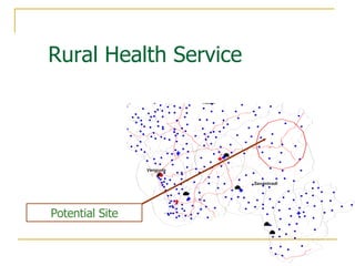
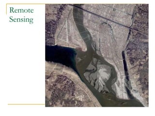
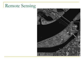

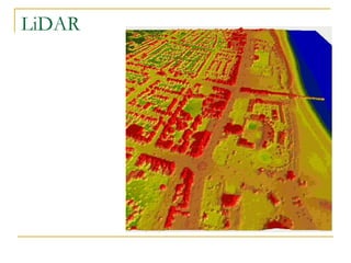
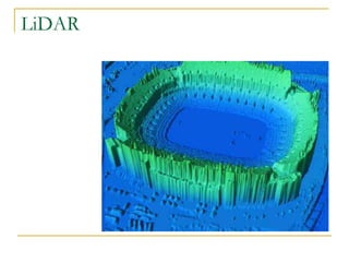
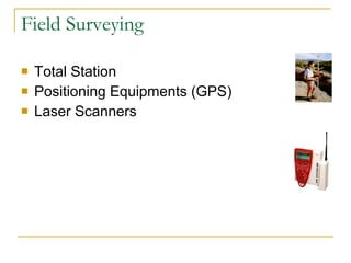
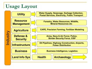

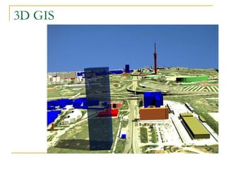
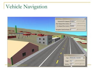
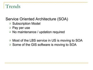

This document provides an introduction to Geographic Information Systems (GIS). It defines GIS as a system that stores, represents, and analyzes geographic features on Earth's surface. The key components of a GIS are its database, which stores spatial and non-spatial data, as well as the software and hardware used. GIS is used to visualize and analyze data to answer questions about location-based trends and relationships. Examples of GIS applications include relief operations during disasters, assessing rural health services, and various utility, resource management, agriculture, and defense/security uses. Emerging GIS technologies include 3D modeling, vehicle navigation, and service-oriented architectures.