Downloaded 130 times

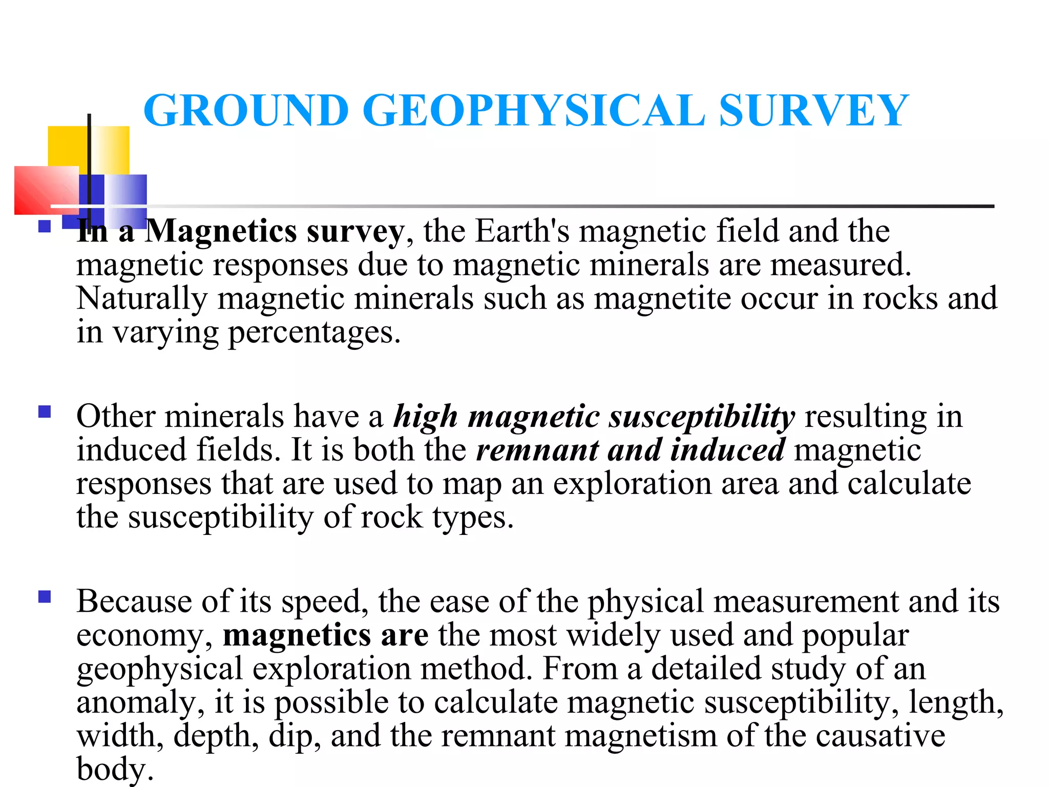
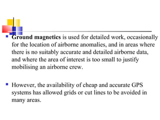
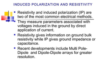

Ground geophysical surveys use magnetic, electrical, and gravitational measurements to map subsurface rock properties. Magnetics surveys measure the earth's magnetic field and magnetic responses from rocks to map geology and locate magnetic ore bodies. Resistivity and induced polarization (IP) surveys measure electrical properties to detect disseminated sulfides and map stratigraphy. Time-domain electromagnetics (TDEM) uses electromagnetic induction to identify conductive features like ores, groundwater, and permafrost. Geophysical methods provide non-invasive exploration techniques but their results require careful processing and interpretation.