Download as PDF, PPTX
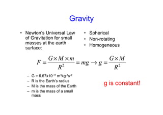
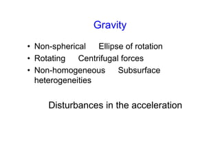
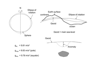
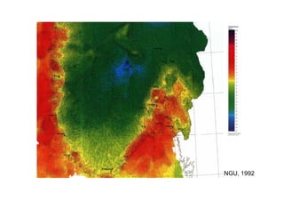
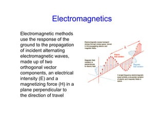
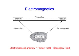
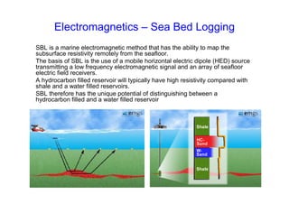
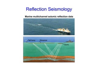
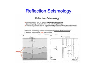
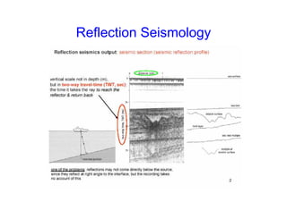
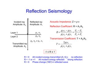
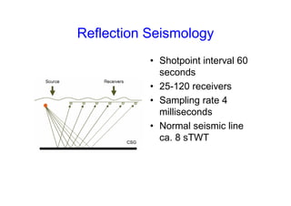
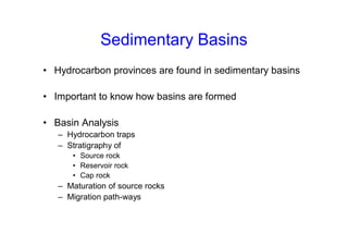
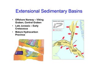
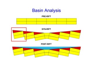
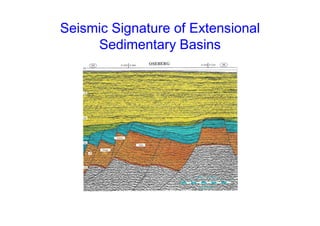
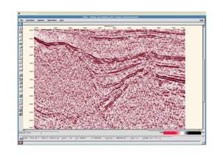

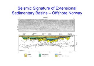
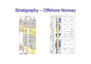
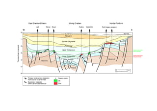

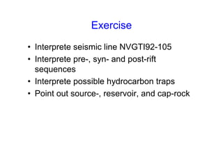

The document provides an overview of geophysical methods used in hydrocarbon exploration, including gravity, magnetic, and electromagnetic techniques, and their applications in identifying subsurface structures and properties. It discusses the principles and theories behind these methods, as well as specific exercises related to seismic interpretation in the context of extensional sedimentary basins, particularly in offshore Norway. Further reading materials are also suggested for a deeper understanding of geophysical exploration and seismic interpretation.


