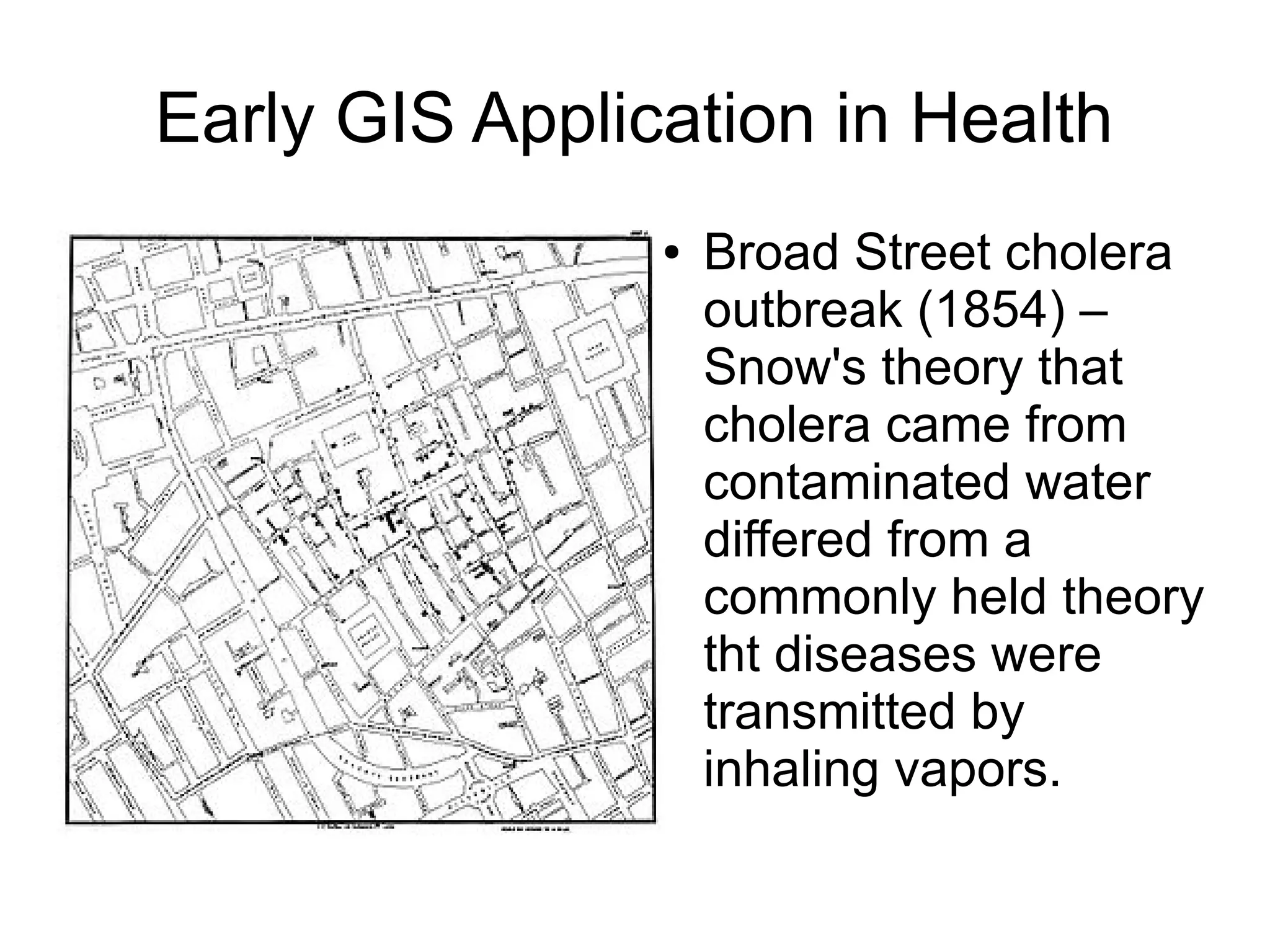
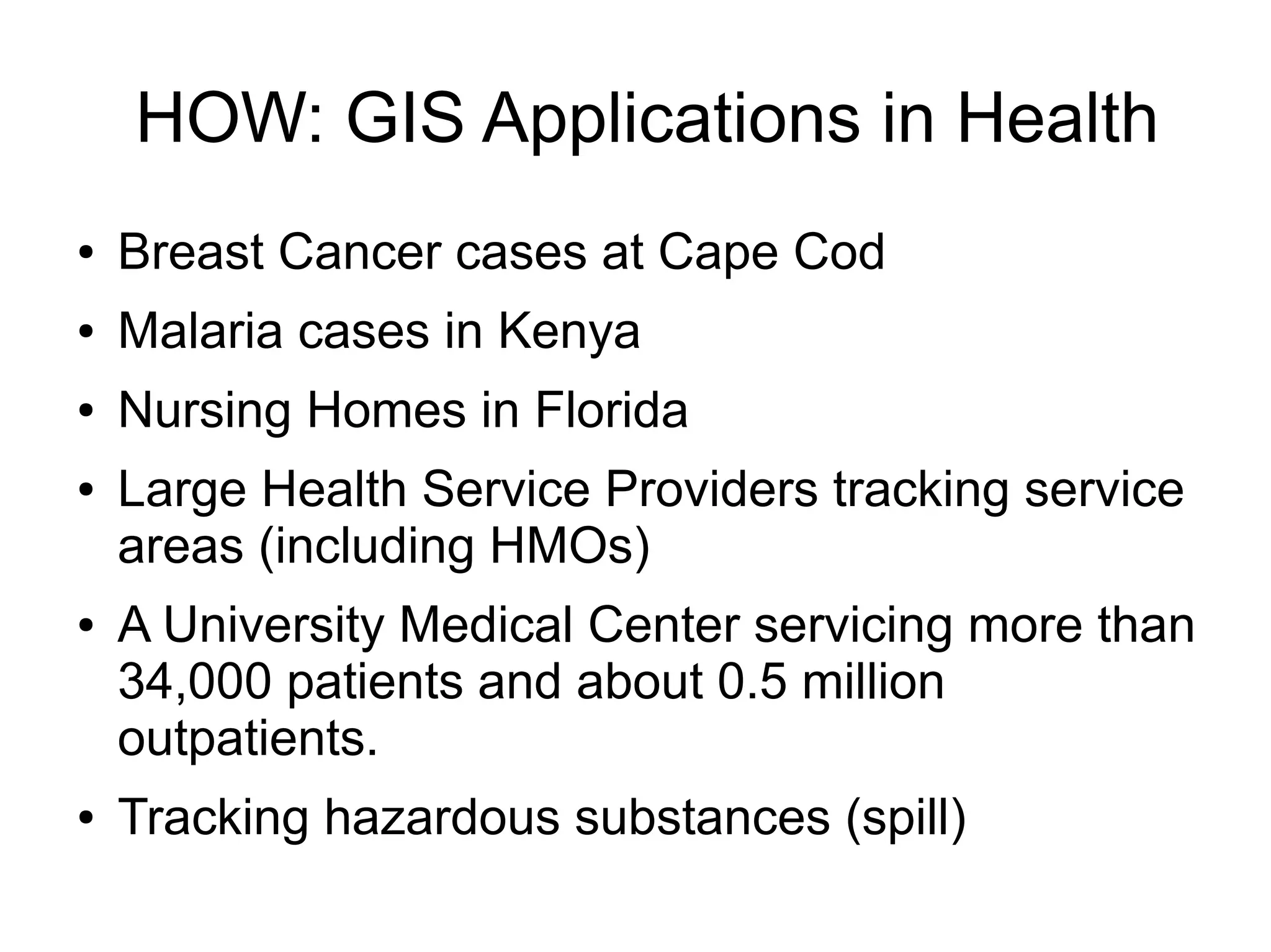
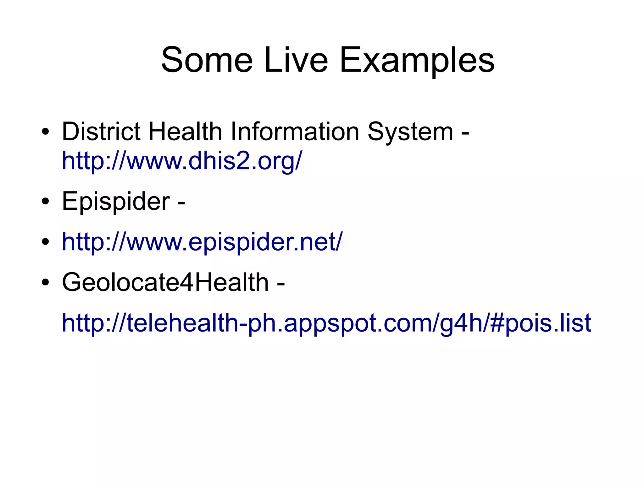
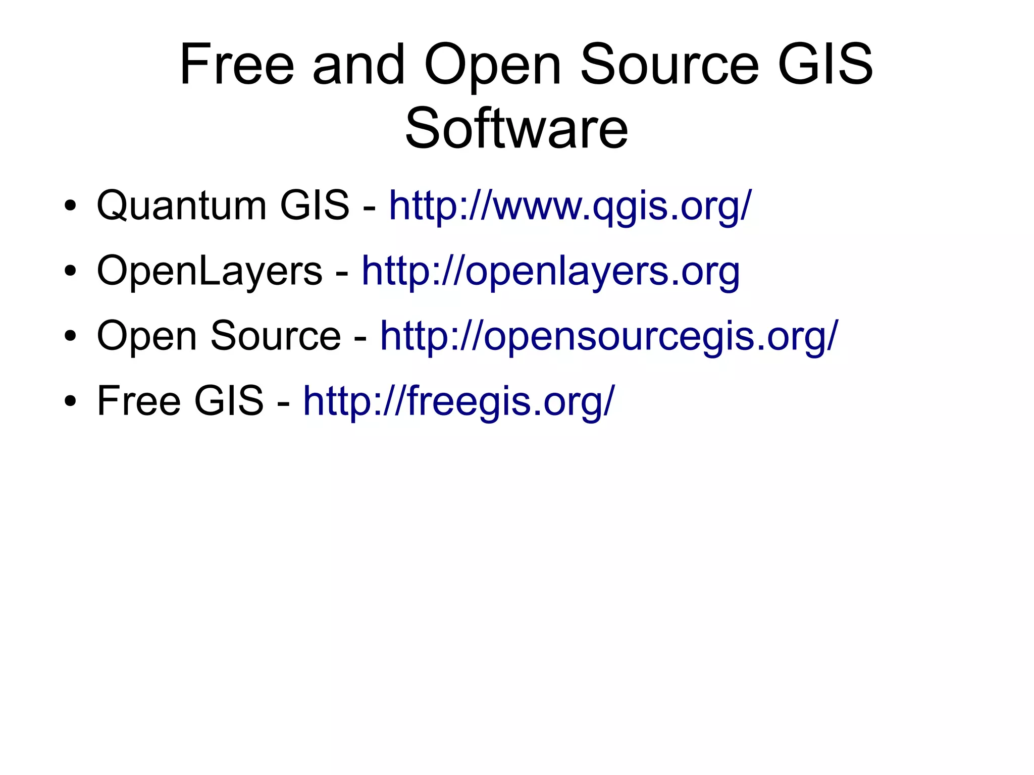
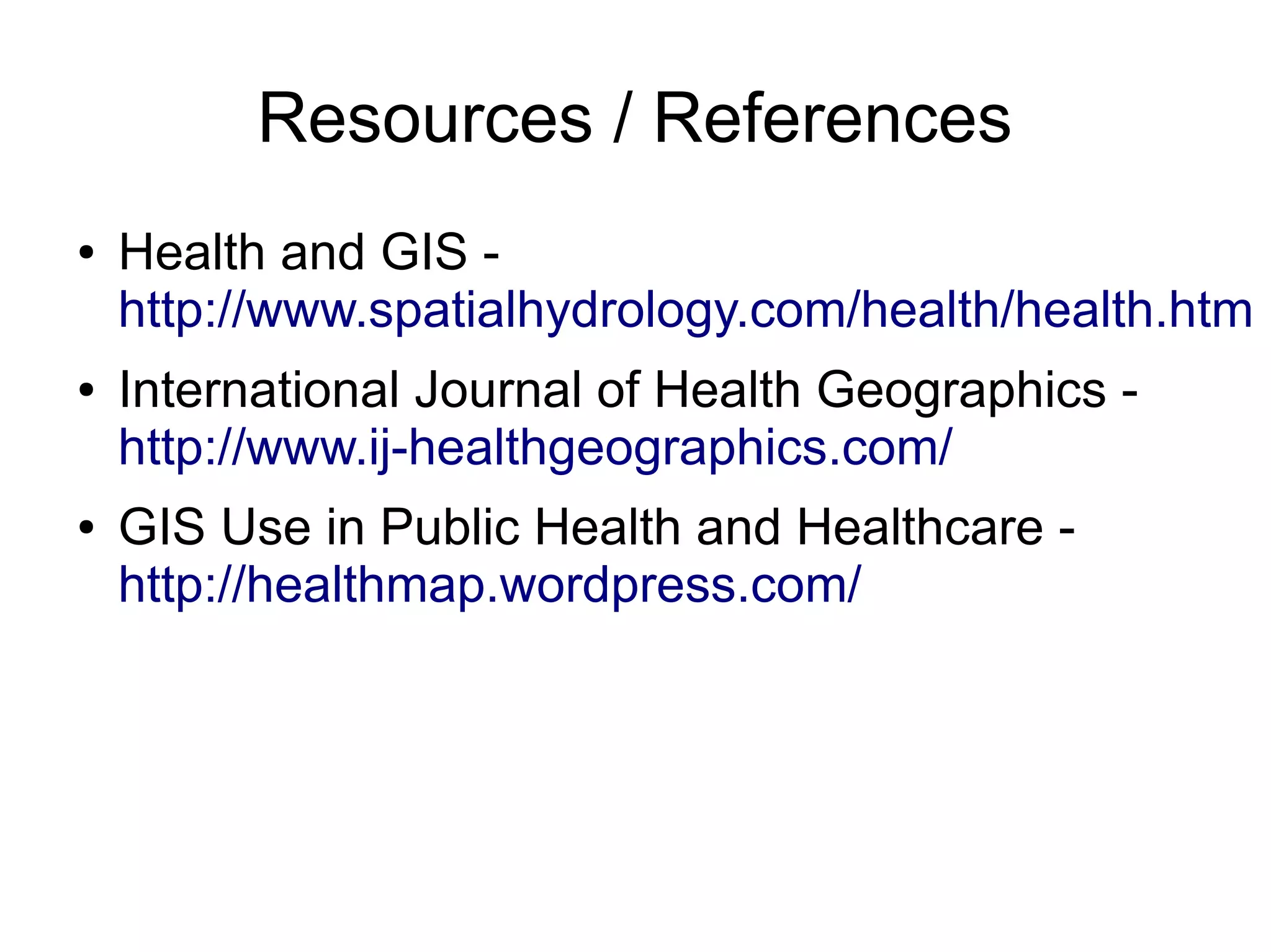
Geographic Information System (GIS)
              in Health
Agenda
●   GIS in Health: WHAT, WHY?
●   HOW: GIS Applications in Health
●   Some Live Examples
●   Free and Open Source GIS Software
Early GIS Application in Health
                ●   Broad Street cholera
                    outbreak (1854) –
                    Snow's theory that
                    cholera came from
                    contaminated water
                    differed from a
                    commonly held theory
                    tht diseases were
                    transmitted by
                    inhaling vapors.
●GIS in Health: WHAT, WHY?
●   Medical Geography – how disease & health
    care are distributed spatially.
●   Epidemiology – maps progress of disease,
    famines, toxic spills and other health disasters
●   Health facility surveys – existing, best locations
    for new ones.
●   Hospital admin, pharmaceutical companies,
    managed care providers, etc,
HOW: GIS Applications in Health
●   Breast Cancer cases at Cape Cod
●   Malaria cases in Kenya
●   Nursing Homes in Florida
●   Large Health Service Providers tracking service
    areas (including HMOs)
●   A University Medical Center servicing more than
    34,000 patients and about 0.5 million
    outpatients.
●   Tracking hazardous substances (spill)
Some Live Examples
●   District Health Information System -
    http://www.dhis2.org/
●   Epispider -
●   http://www.epispider.net/
●   Geolocate4Health -
    http://telehealth-ph.appspot.com/g4h/#pois.list
Free and Open Source GIS
                Software
●   Quantum GIS - http://www.qgis.org/
●   OpenLayers - http://openlayers.org
●   Open Source - http://opensourcegis.org/
●   Free GIS - http://freegis.org/
Resources / References
●   Health and GIS -
    http://www.spatialhydrology.com/health/health.htm
●   International Journal of Health Geographics -
    http://www.ij-healthgeographics.com/
●   GIS Use in Public Health and Healthcare -
    http://healthmap.wordpress.com/

GIS in Health

  • 1.
  • 2.
    Agenda ● GIS in Health: WHAT, WHY? ● HOW: GIS Applications in Health ● Some Live Examples ● Free and Open Source GIS Software
  • 3.
    Early GIS Applicationin Health ● Broad Street cholera outbreak (1854) – Snow's theory that cholera came from contaminated water differed from a commonly held theory tht diseases were transmitted by inhaling vapors.
  • 4.
    ●GIS in Health:WHAT, WHY? ● Medical Geography – how disease & health care are distributed spatially. ● Epidemiology – maps progress of disease, famines, toxic spills and other health disasters ● Health facility surveys – existing, best locations for new ones. ● Hospital admin, pharmaceutical companies, managed care providers, etc,
  • 5.
    HOW: GIS Applicationsin Health ● Breast Cancer cases at Cape Cod ● Malaria cases in Kenya ● Nursing Homes in Florida ● Large Health Service Providers tracking service areas (including HMOs) ● A University Medical Center servicing more than 34,000 patients and about 0.5 million outpatients. ● Tracking hazardous substances (spill)
  • 6.
    Some Live Examples ● District Health Information System - http://www.dhis2.org/ ● Epispider - ● http://www.epispider.net/ ● Geolocate4Health - http://telehealth-ph.appspot.com/g4h/#pois.list
  • 7.
    Free and OpenSource GIS Software ● Quantum GIS - http://www.qgis.org/ ● OpenLayers - http://openlayers.org ● Open Source - http://opensourcegis.org/ ● Free GIS - http://freegis.org/
  • 8.
    Resources / References ● Health and GIS - http://www.spatialhydrology.com/health/health.htm ● International Journal of Health Geographics - http://www.ij-healthgeographics.com/ ● GIS Use in Public Health and Healthcare - http://healthmap.wordpress.com/