
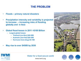
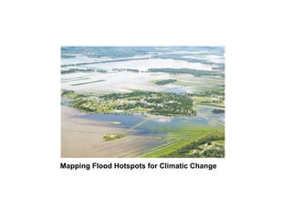
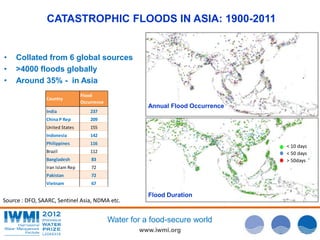
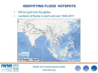
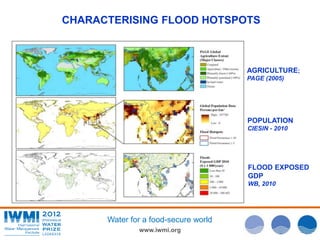
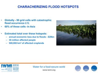
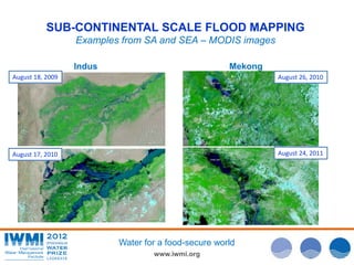
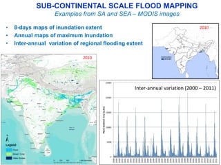
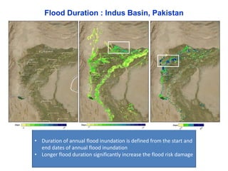
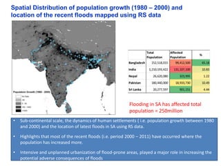
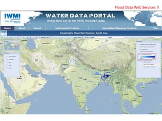
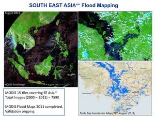

The document discusses the use of satellite data for mapping and assessing catastrophic flood risks, with case studies from Asia and Africa. It highlights the increasing frequency and economic impact of floods due to climate change and urbanization, emphasizing the need for effective flood risk management solutions. Key outcomes include the development of satellite-based flood mapping products and a radar tool for rapid agricultural flood damage assessment.