Downloaded 437 times

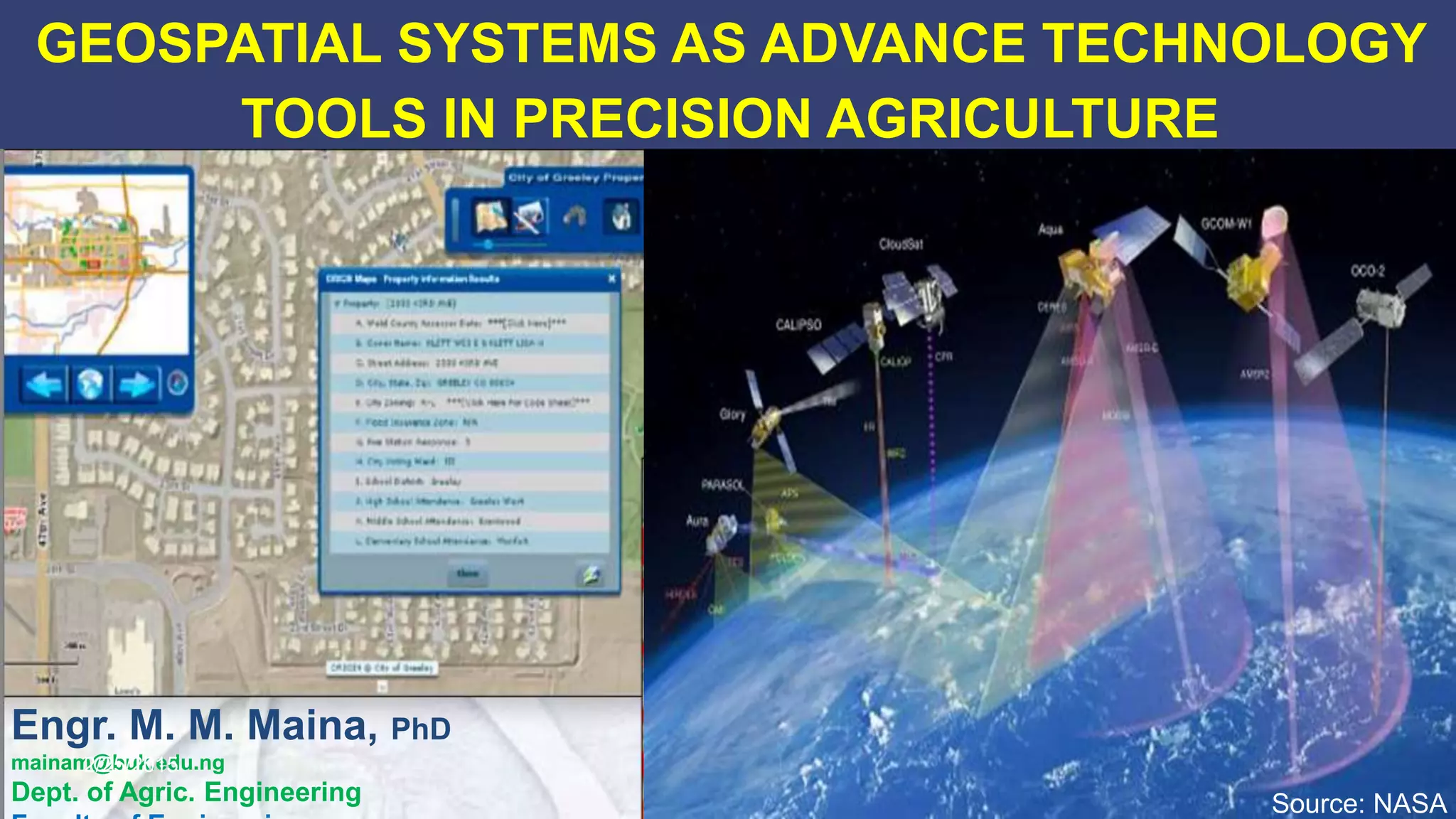

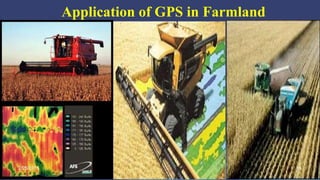

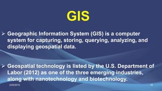

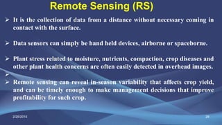
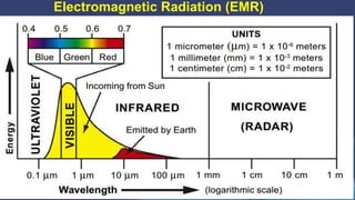
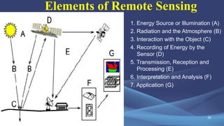
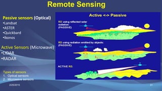

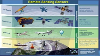

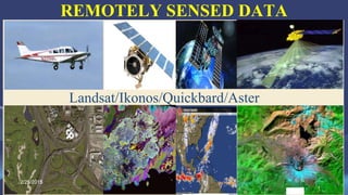

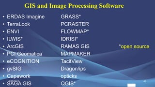
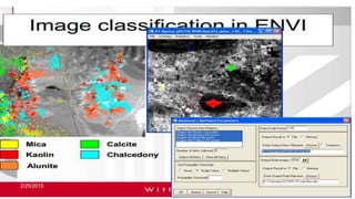
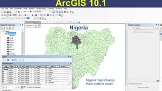
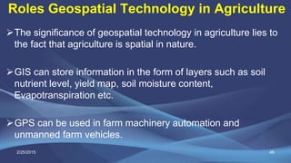


The document discusses the role of geospatial technologies, including GPS, GIS, and remote sensing, in precision agriculture, aimed at optimizing farming through targeted management of fields. It emphasizes the importance of integrating these technologies to enhance productivity and sustainability, while also highlighting future advancements in satellite capabilities. The document points out the need for training farmers and stakeholders to effectively utilize these technologies for improved agricultural practices.


