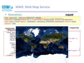
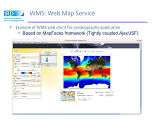
Download to read offline

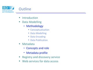
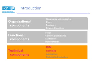

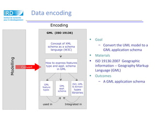
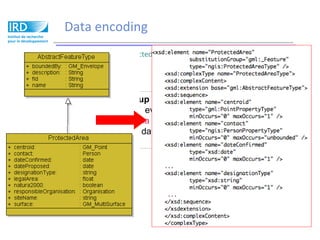
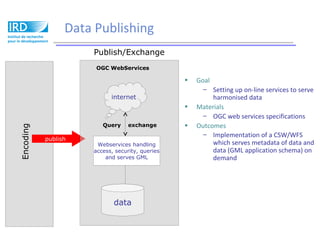
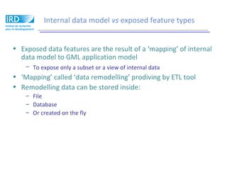
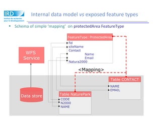
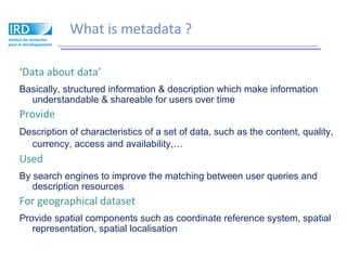
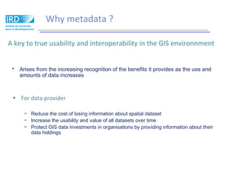

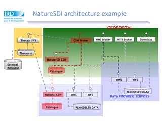

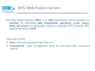
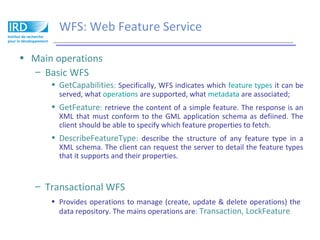
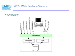


Spatial Data Infrastructure involves data modeling, metadata, and web services for data access. Data modeling involves conceptualizing user needs, developing a data model, encoding the data, and publishing it. Metadata provides information about spatial data to improve discovery. Registry and discovery services allow querying metadata. Web services like WMS and WFS enable accessing and manipulating mapped features through standard interfaces.