Download to read offline


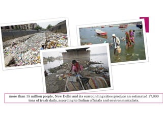
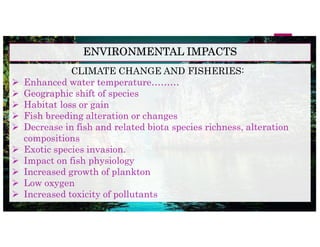

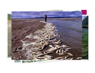
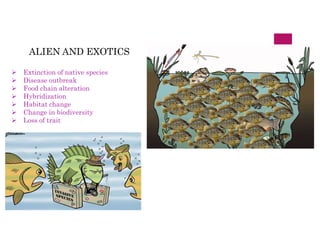


The document provides an overview of rivers, particularly in India, detailing their definitions, classifications, and significance. It highlights the Ganges River as a vital waterway, sacred to Hindus, while also addressing various environmental issues such as pollution, climate change, and their impact on fishery resources. The text emphasizes the need for sustainable management due to the declining health of river ecosystems and their fisheries.


