Download to read offline


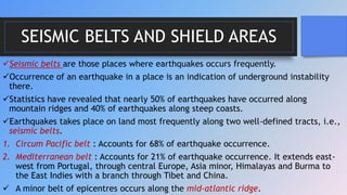
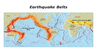
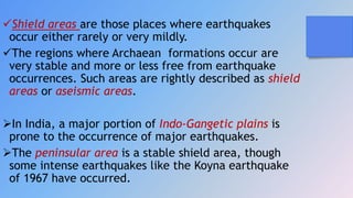
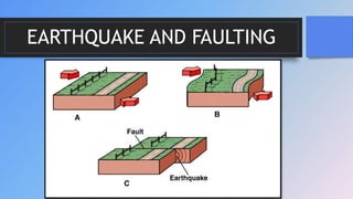
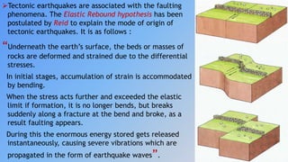
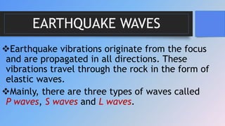
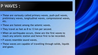
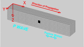
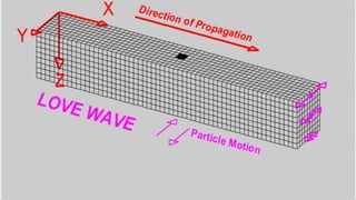
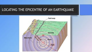


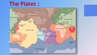

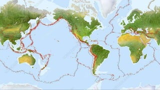


An earthquake is caused by a sudden release of energy in the Earth's crust that creates seismic waves. The focus is the point of origin underground, while the epicenter is where it breaks the surface. Different types of seismic waves like P, S, and L waves propagate outward. Earthquakes can be classified by depth, cause, and location. Areas prone to quakes are along plate boundaries like the Circum-Pacific belt. Proper engineering can help make structures earthquake resistant.


