Downloaded 194 times
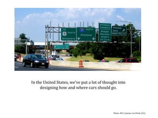


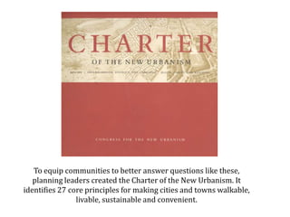


The document discusses principles of new urbanism for creating sustainable, livable communities. It outlines 27 core principles focused on regional planning, neighborhood design, and human-scale architecture. The principles promote compact, mixed-use, and walkable development to reduce sprawl and automobile dependence. They include connected street networks, diverse housing types, and prioritizing pedestrians. New urbanist codes and LEED-ND standards now provide tools to implement these principles and overcome barriers in conventional zoning.