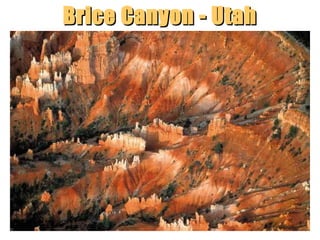
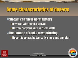
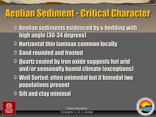
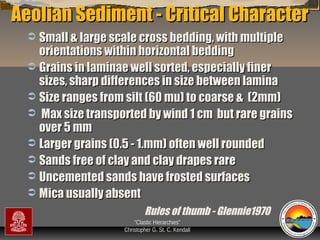
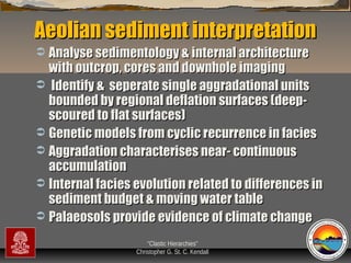
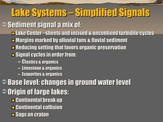
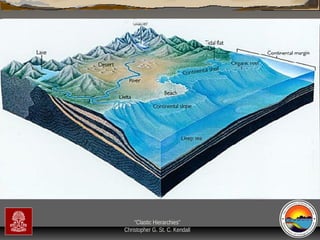
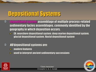
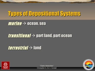
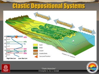
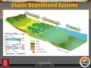
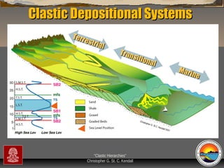
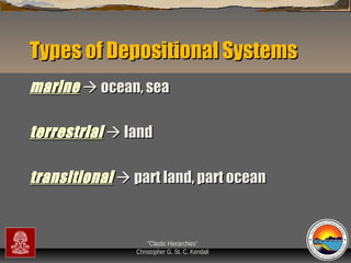
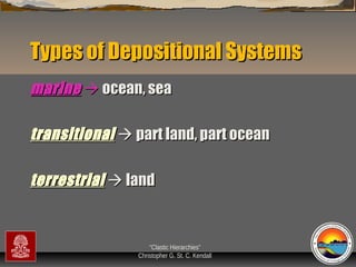
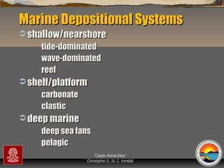
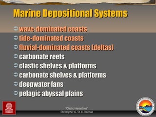
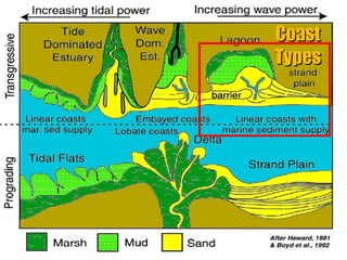
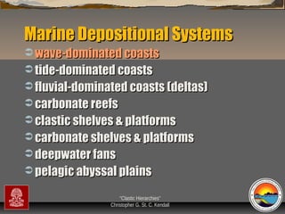
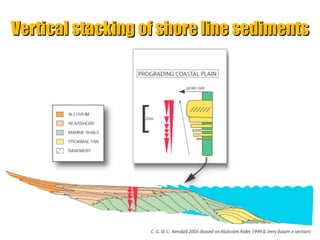
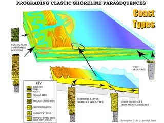
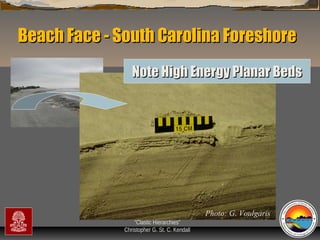
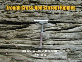
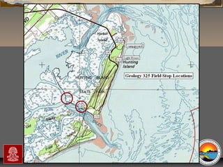
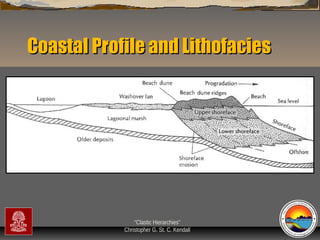
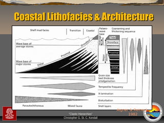
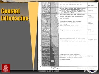
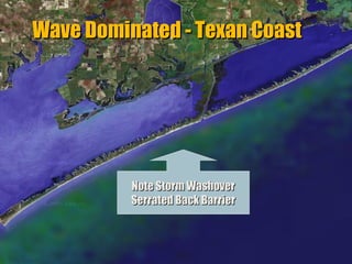
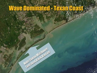
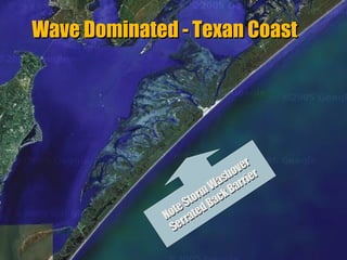
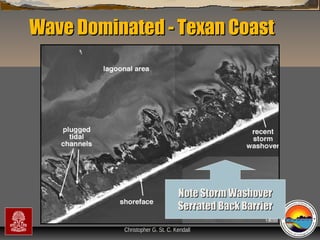
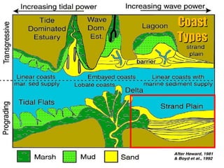
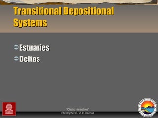
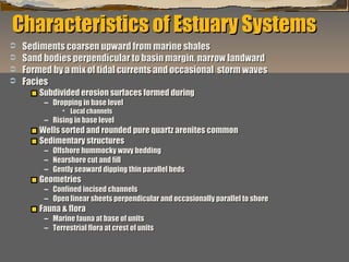
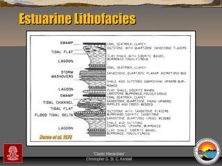
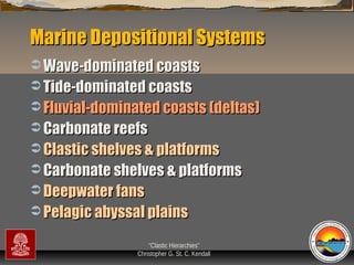
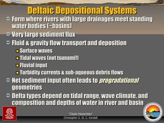
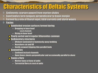
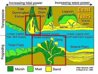
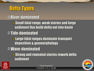
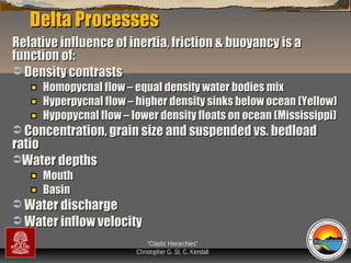
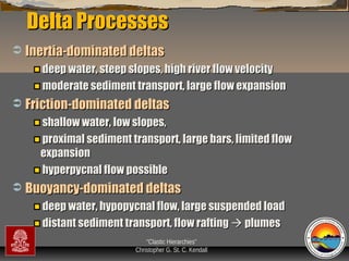
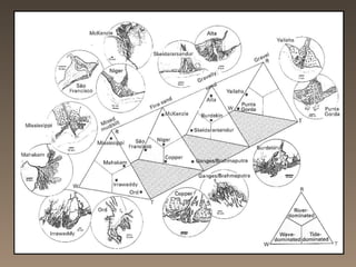
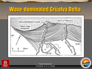
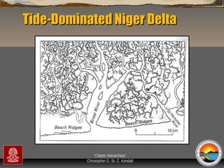
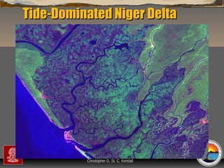
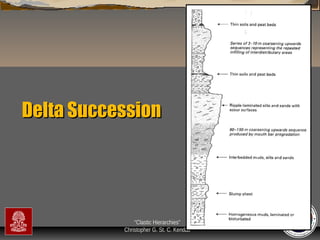
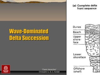
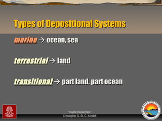
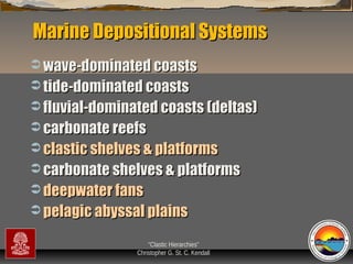
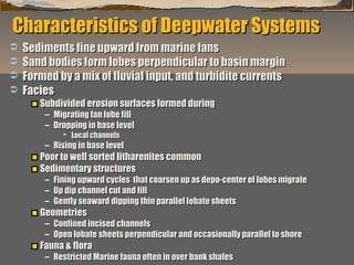
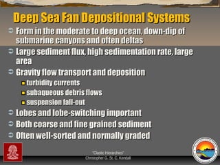
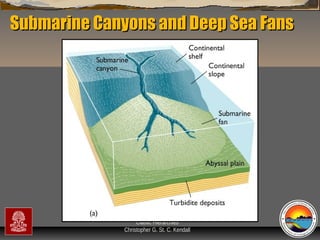
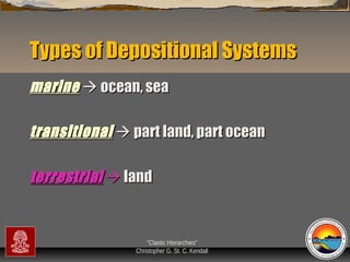
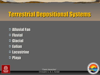
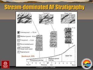
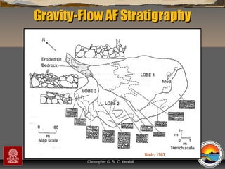
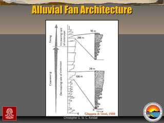
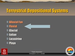
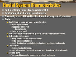
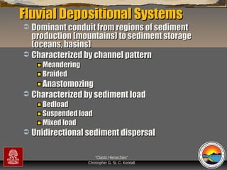
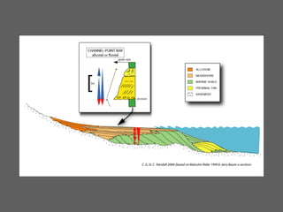
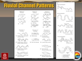
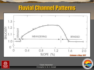
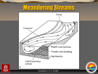
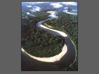
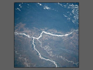
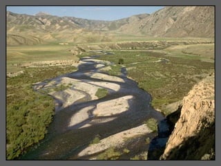
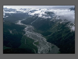
This document provides an overview of a lecture series on clastic depositional systems and their response to changes in base level. It describes the three main types of depositional systems - terrestrial, transitional, and marine. For marine systems, it focuses on coastal systems like wave-dominated coasts, tide-dominated coasts, and river-dominated deltas. It discusses the characteristics and facies of these coastal systems, and how they respond to changes in sea level. Diagrams and photos are provided as examples.


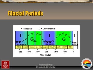
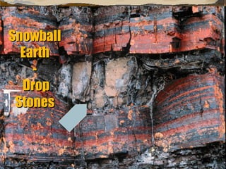
![Past Glacial Periods
Pre-Cambrian at end of Neoproterozoic eon
End of the Ordovician
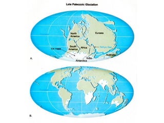
Late Carboniferous (Pennsylvanian]
through Permian
Pleistocene
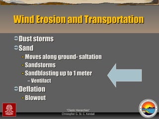
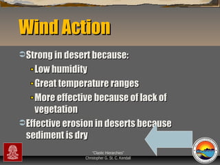
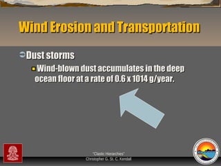
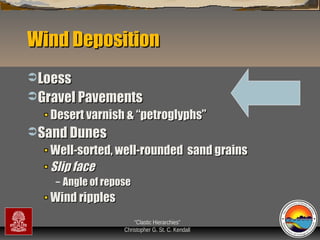
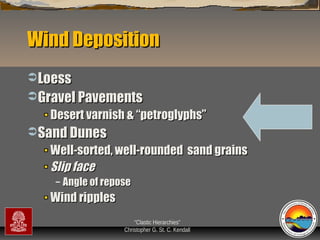
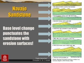
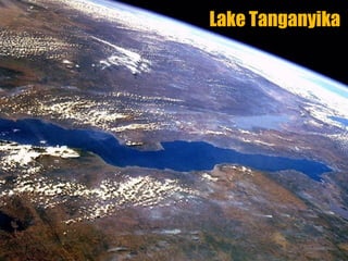
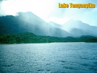
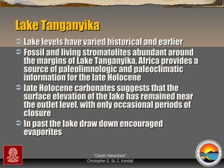
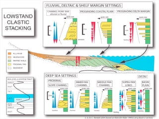
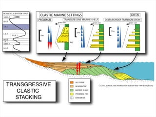
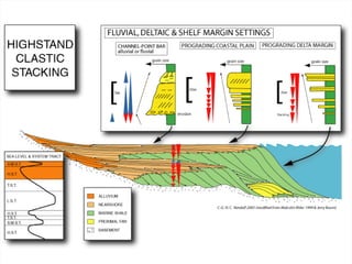
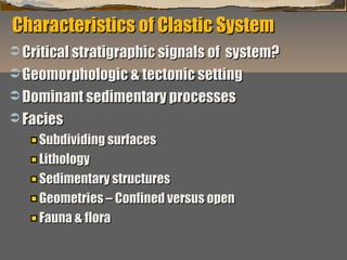
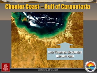
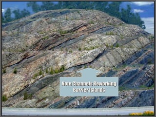
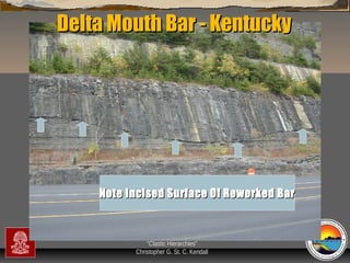
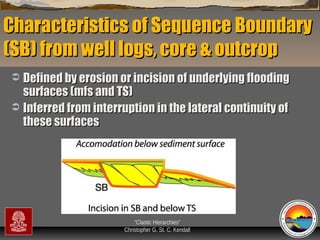
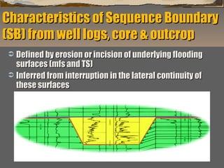
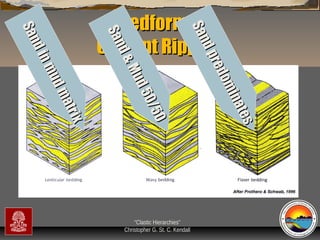
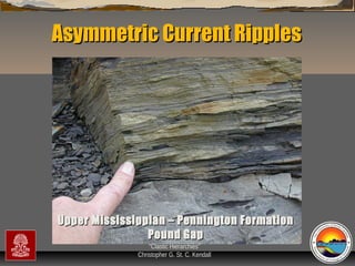
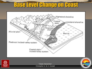
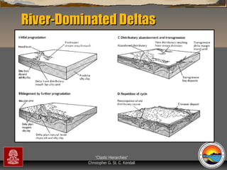
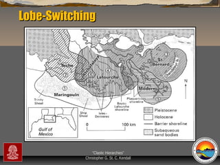
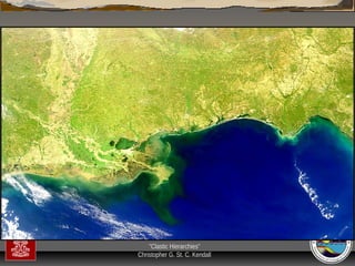
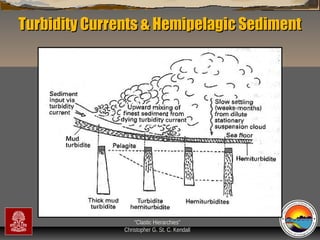
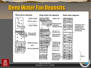
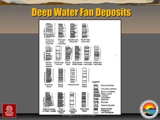
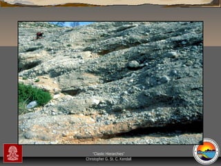
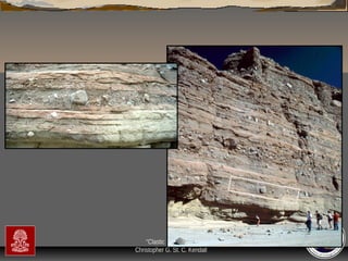
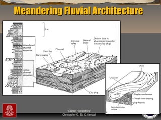
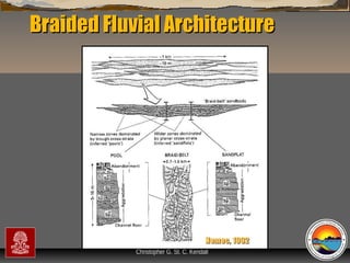
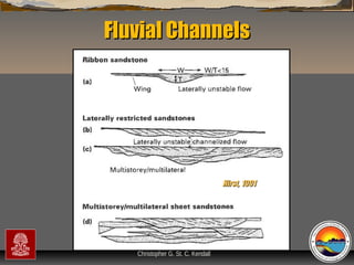
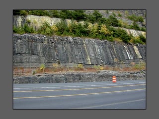
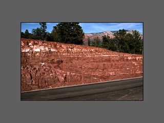
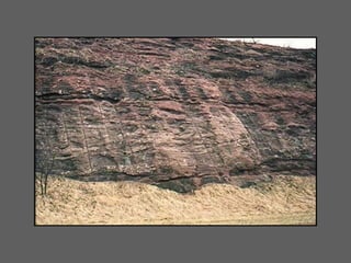
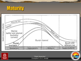
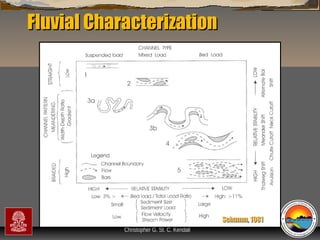
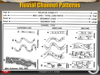
“Clastic Hierarchies”
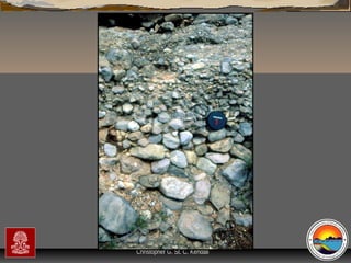
Christopher G. St. C. Kendall](https://image.slidesharecdn.com/clasticdepositionalsystem-131212202834-phpapp02/85/Clastic-depositional-system-210-320.jpg)