Download to read offline
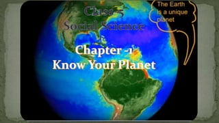
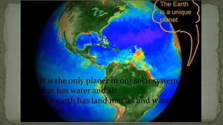
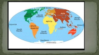
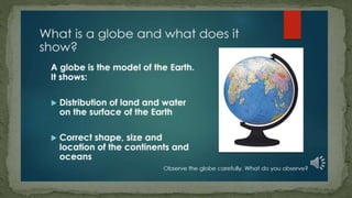
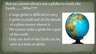
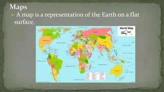
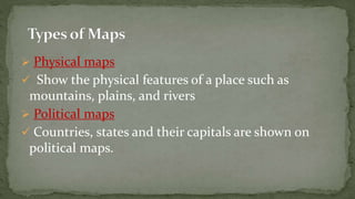
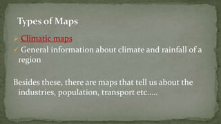
The Earth is the only planet in our solar system with water and air. It has large land masses called continents and water bodies called oceans. A globe shows the entire Earth but is small, so only half can be seen at a time and details are limited. Therefore, maps are used to represent regions of the Earth on a flat surface, with different types showing physical, political, climatic, and other features.


