Town planning involves shaping and guiding the physical growth of towns to meet public needs, and is essential for preventing issues such as slum development, traffic congestion, and inadequate amenities. The main objectives of town planning focus on health, convenience, and beauty while ensuring a well-organized distribution of residential, commercial, and public spaces. Various models of urban development, including concentric and sector models, illustrate different approaches to land use and city growth, each with its own critiques and limitations.
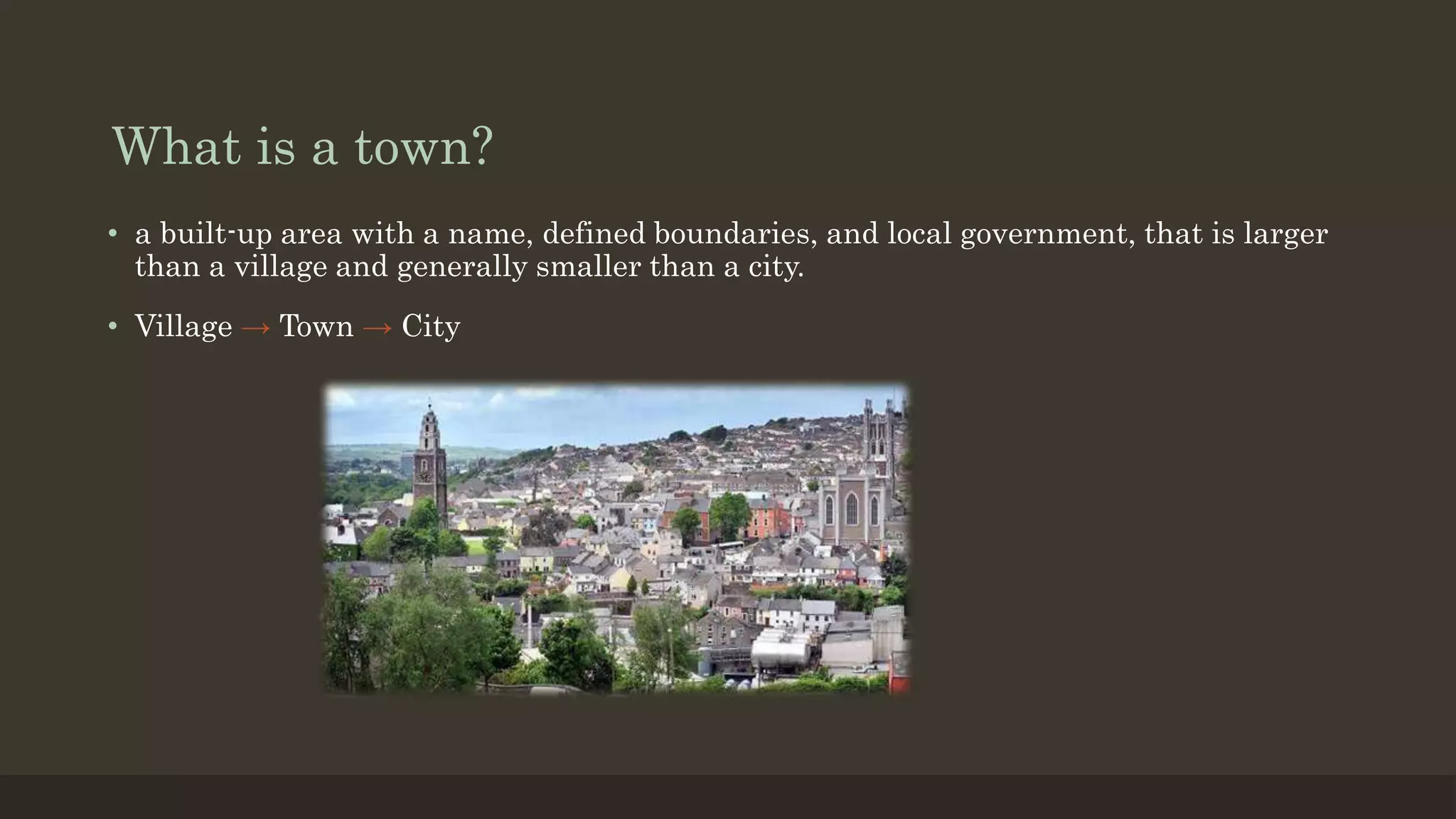
What is atown?
• a built-up area with a name, defined boundaries, and local government, that is larger
than a village and generally smaller than a city.
• Village → Town → City
3.
What is planning?
•It is considered a science and art.
• It is pre-thinking and pre-arranging things.
• Planning is future oriented problem solving process.
• It is a way of thinking social and economic problems.
• An orderly sequence of activities that will lead to accomplish stated goals.
4.
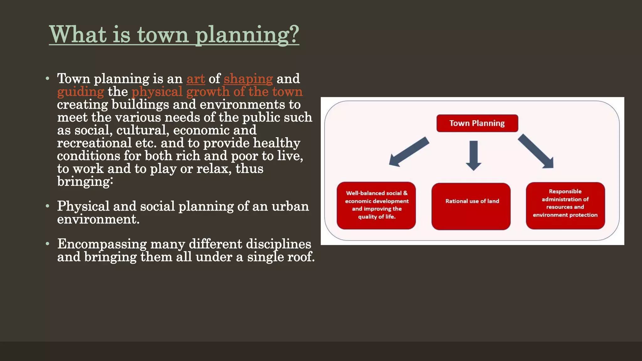
What is townplanning?
• Town planning is an art of shaping and
guiding the physical growth of the town
creating buildings and environments to
meet the various needs of the public such
as social, cultural, economic and
recreational etc. and to provide healthy
conditions for both rich and poor to live,
to work and to play or relax, thus
bringing:
• Physical and social planning of an urban
environment.
• Encompassing many different disciplines
and bringing them all under a single roof.
5.
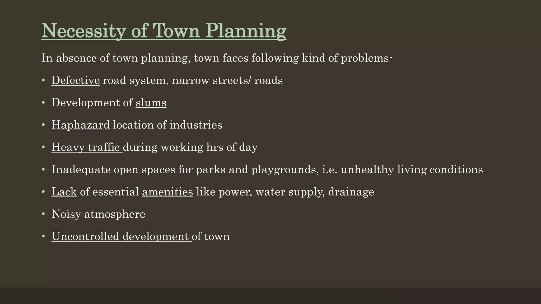
Necessity of TownPlanning
In absence of town planning, town faces following kind of problems-
• Defective road system, narrow streets/ roads
• Development of slums
• Haphazard location of industries
• Heavy traffic during working hrs of day
• Inadequate open spaces for parks and playgrounds, i.e. unhealthy living conditions
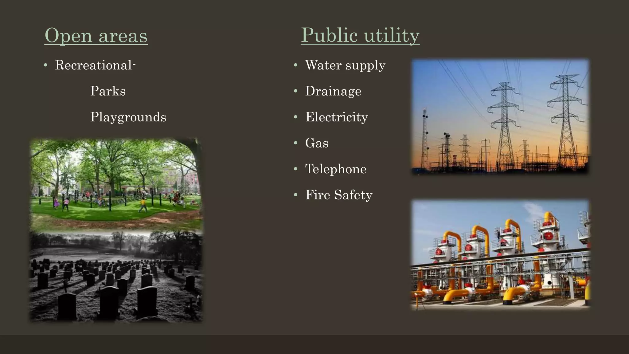
• Lack of essential amenities like power, water supply, drainage
• Noisy atmosphere
• Uncontrolled development of town
6.
Objectives of TownPlanning
• According to the town planning acts the main objectives of a town planning may be
summarised in three words viz. Health, Convenience & Beauty.
Health-
• To create and promote healthy conditions and
environment for all the people rich and poor, to
live, to work, to play and relax
• To make right use of land for the right purpose
by proper division of land in order to avoid the
encroachment of public.
7.
Convenience-
Various economic, socialand recreational amenities to be given to public, such as
• Cheap power
• Proper industrial sites
• Transport facilities
• Adequate water supply
• Easy sewage disposal
• Open spaces/ parks/ town halls/
play grounds/ theatres etc.
8.
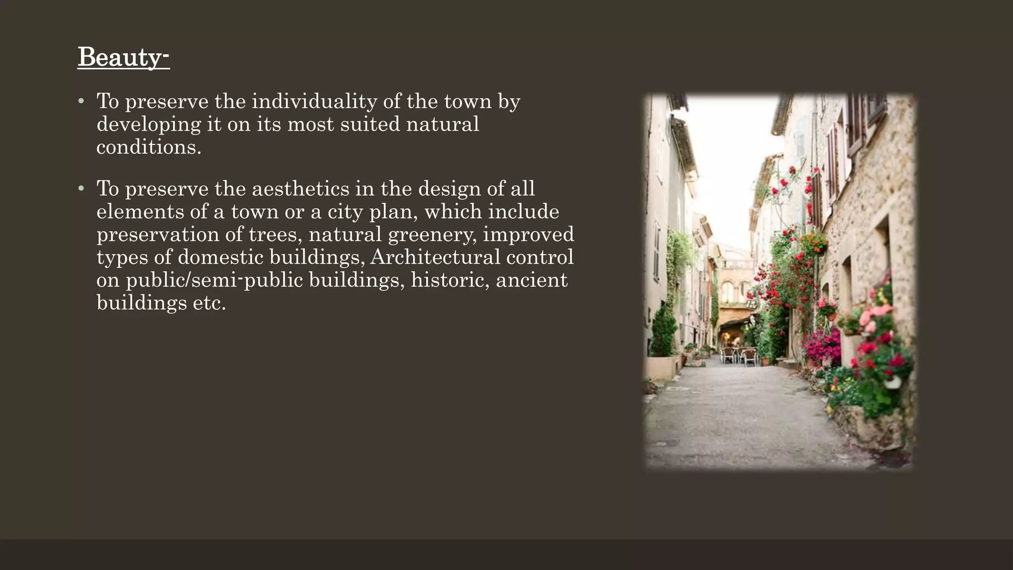
Beauty-
• To preservethe individuality of the town by
developing it on its most suited natural
conditions.
• To preserve the aesthetics in the design of all
elements of a town or a city plan, which include
preservation of trees, natural greenery, improved
types of domestic buildings, Architectural control
on public/semi-public buildings, historic, ancient
buildings etc.
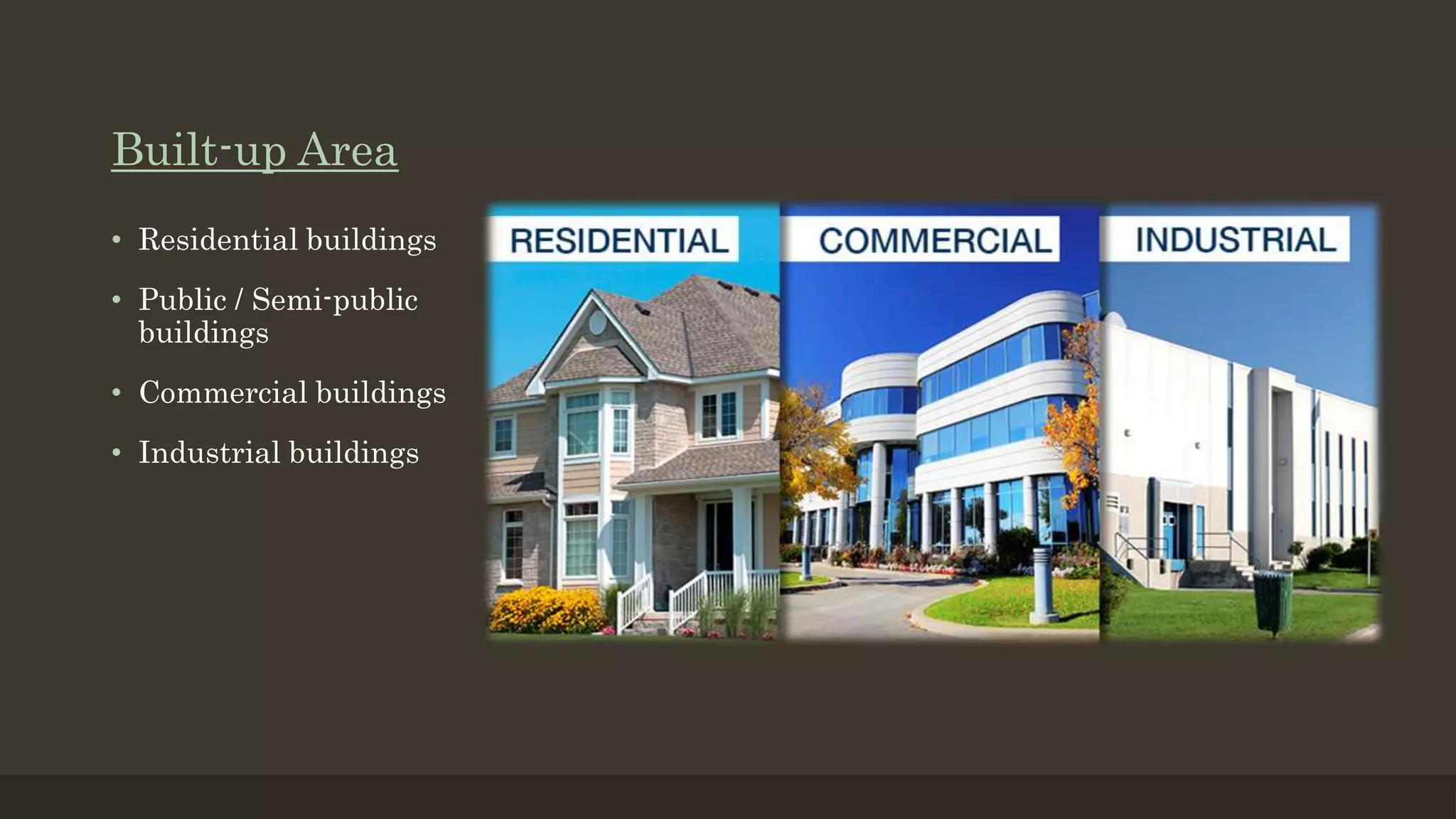
Zoning
• A townis divided into suitable zones
such as commercial zone, industrial
zone, residential zone, and certain rules
and regulations should be implemented
for each zone.
Housing
• It should be carefully designed to suit the local
population and care should be taken to make
sure that all the facilities are there inside the
housing complex.
Principles of Town Planning:
14.
Green-belt
• A greenbelt is an invisible line designating a
border around a certain area, preventing
development of the area and allowing wildlife to
return and be established.
Road systems
• Road network hierarchy is very important while
building a town or a city. The provision of a
faulty road system in the initial stages of town
formation proves to be too difficult and costly to
repair to rearrange in future.
15.
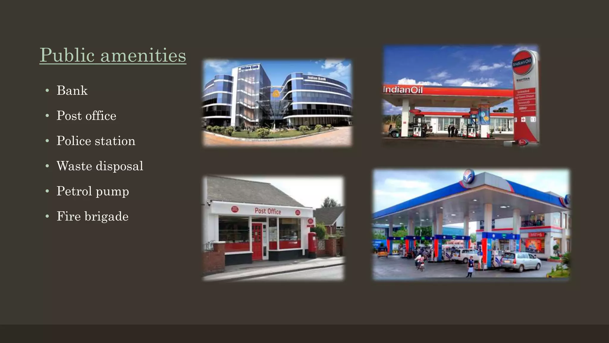
Public buildings
• Shouldbe well organized and
distributed throughout the
town. Unnecessary
concentration of public buildings
should be avoided.
Recreation centres
• Are essential while designing
a town. They are necessary
for the recreational activities
of the public. They include
parks, for walking, cycling,
amusement parks etc.
Transport facilities
The town should be provided
with suitable transport
facilities so that there is
minimum loss of time for
commuting between the work
place and the residence
16.
Concentric Zone Model
Developedin 1925 by Ernest w.
Burgess.
Cities grow radially outward
away from a singlecentre.
Different land uses are
distributed like concentric rings
around the city centre.
They are: CBD, zone in
transition, low-class residential
zone, middle-class residential
zone, high-class residential
zone.
Models proposed for town planning
17.
Criticisms about ConcentricZone Model-
• Physical features - land may restrict growth of certain sectors.
• Commuter villages defy the theory, being in the commuter zone but located
far from the city
• Decentralization of shops, manufacturing industry, and entertainment
• It assumes an isotropic plain - an even, unchanging landscape
18.
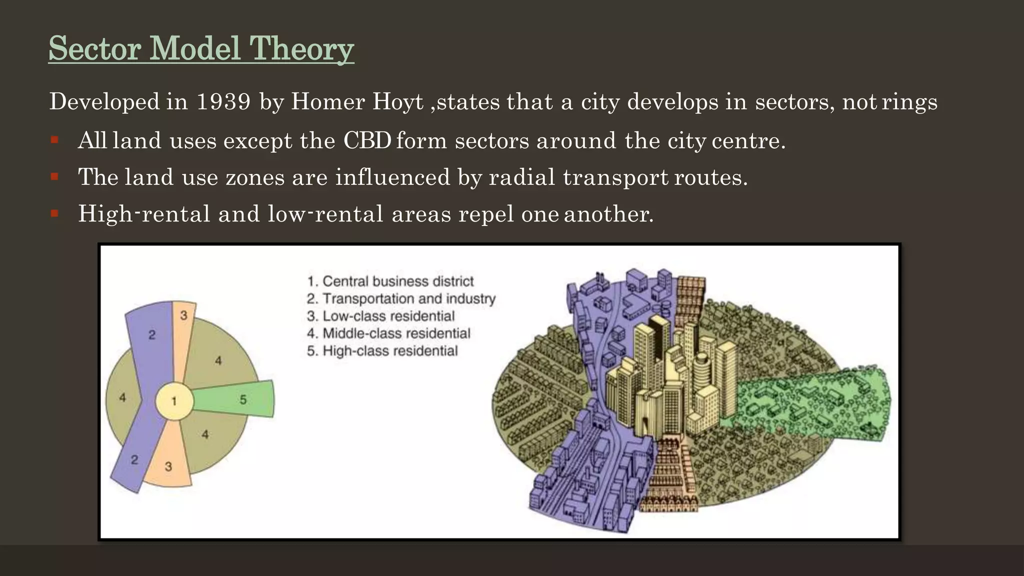
Developed in 1939by Homer Hoyt ,states that a city develops in sectors, not rings
All land uses except the CBD form sectors around the city centre.
The land use zones are influenced by radial transport routes.
High-rental and low-rental areas repel one another.
Sector Model Theory
19.
Criticisms about sectormodel
Applies well to Chicago.
Low cost housing is near industry and transportation proving Hoyt’smodel
Theory based on 20th century and does not take into account cars which make
commerce easier
With cars, people can live anywhere and further from the city and still travel to
the CBDusing their car. Not only do high-class residents have cars, but also middle
and lower class peoplemay have cars.
20.
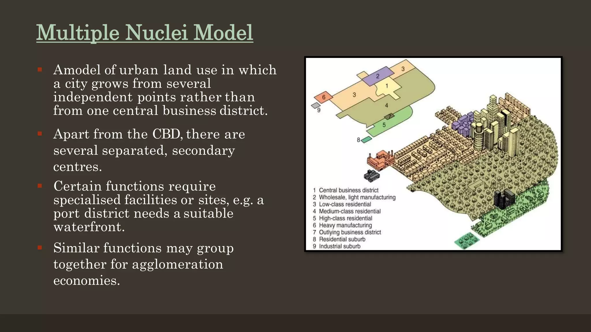
Multiple Nuclei Model
Amodel of urban land use in which
a city grows from several
independent points rather than
from one central business district.
Apart from the CBD, there are
several separated, secondary
centres.
Certain functions require
specialised facilities or sites, e.g. a
port district needs a suitable
waterfront.
Similar functions may group
together for agglomeration
economies.
21.
Criticisms about theMultiple nuclei model
Negligence of height of buildings.
Non-existence of abrupt divisions between zones.
No consideration of influence of physical relief and government policy.
The concepts may not be totally applicable to oriental cities with
different cultural, economic and political backgrounds.
22.
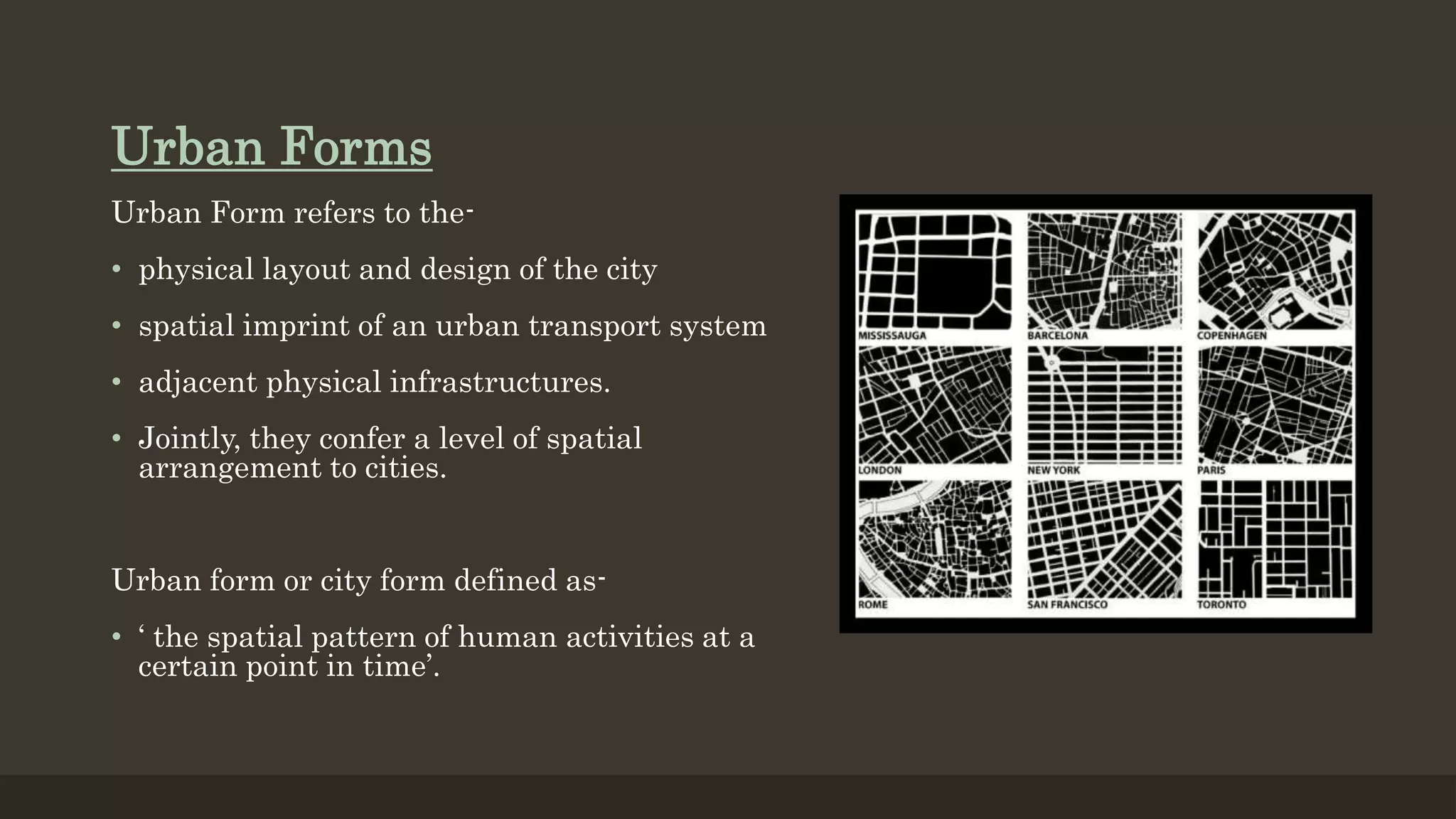
Urban Forms
Urban Formrefers to the-
• physical layout and design of the city
• spatial imprint of an urban transport system
• adjacent physical infrastructures.
• Jointly, they confer a level of spatial
arrangement to cities.
Urban form or city form defined as-
• ‘ the spatial pattern of human activities at a
certain point in time’.
23.
The Radiocentric City
•Geographical possibilities of spreading in all
directions.
• Radio centric -Radiate outward from a common
centre.
• Inner Outer ring roads linked by radiating roads.
• Core has businessarea.
• Industrial areainterspersed within the residential.
• Periphery has greenbelts.
• Example :Washington DC, Pre-industrial Baghdadin
Iraq.
24.
TheRadial city:Moscow
• Moscow,the world biggest Megapolis (Russian
Moskva) is the capital of Russia.
• The city grew in a pattern of rings and radials that
marked Moscow's growth from ancient time to
modern layout.
• The centre of all rings is Moscow Kremlin and
famous Red Square.
• Successive epochs of development are tracedby the
• The Boulevard Ring
• The Garden Ring,
• The Moscow Little Ring Railway,
• The Moscow Ring Road.
25.
The Grid Ironcity
• It is composed of straight streets crossing at right angles to create many
regular blocks.
• This form is typical of cities built after the industrial revolution – because
only then did cities place such importanceon economic activity.
• A city grid iron plan facilitates the movement of people and product
throughout the city.
26.
Chandigarh
• The primarymodule of city’s design is a
Sector, a neighbourhood of unit of size 800
m*1200 m.
• It is a self-sufficient unit having shops,
school, health centres and places of
recreations .
• The population of a sector varies between
3000-20000 depending upon size of plots
and topography of the area
• The shopping street of each sector is linked
to the adjoining sectors thus forming one
long, continuous ribbon .
• The central green of each Sector also
stretches to the green of the next sector
27.
Linear Form
Initiallyproposedby SoriaY Mata.
Expand the city along the spine of transport
The Linear City concept is a Conscious Form Of Urban Development with
Housing And Industry Growing Along The Highway Between existing cities and
contained by the continuous open space of the rural countryside.
28.
Navi Mumbai
• Thegrowth of Mumbai city is constrained
by sea at south, east and west. As a result
total land area available for development
of Mumbai is limited.
• The cost of real estate and housing in Navi
Mumbai is much less than costs in Mumbai
and sub-urban areas.
• Many government and corporate offices
have been shifted from Mumbai to Navi
Mumbai .
• the Taloja and Thane Belapur Industrial
Belt of Navi Mumbai offer job
opportunities of every conceivable kind
from engineers to mechanics to clerks to
peons. As a result a large population of
service class and middle class population
shifted to Navi Mumbai.


![Driver Easy Pro Key 7.1.0.2641 Full Mac Crack Free Activated Download [2026]....](https://cdn.slidesharecdn.com/ss_thumbnails/software-251207185324-b2fb71b4-thumbnail.jpg?width=640&height=640&fit=bounds)


![Chapter4_Initiation_of_Sediment_Motion_v2[1].pptx](https://cdn.slidesharecdn.com/ss_thumbnails/chapter4initiationofsedimentmotionv21-251208223747-f94ef163-thumbnail.jpg?width=640&height=640&fit=bounds)

![AnyTrans for iOS 8.9.14.20251127 With Crack for MacOS [Latest] pptx](https://cdn.slidesharecdn.com/ss_thumbnails/softwareoverview-251207190907-2316965f-thumbnail.jpg?width=640&height=640&fit=bounds)


