Downloaded 25 times

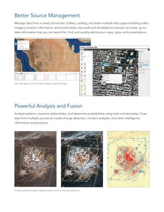
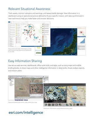


Esri software provides a geospatial platform for analyzing multi-intelligence data from various sources like imagery, video, sensors, and social media. It allows users to manage, analyze, visualize, and fuse this data on maps. The software also enables real-time situational awareness, powerful analysis tools, and easy information sharing capabilities to produce timely and actionable intelligence.