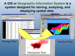
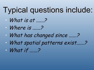
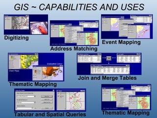
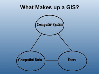
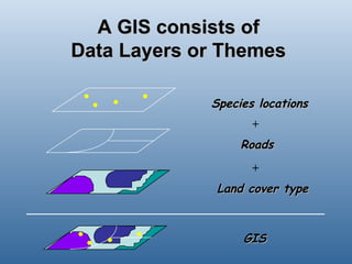
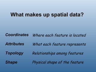


A geographic information system (GIS) is a system for storing, analyzing, and displaying spatial data. A GIS allows users to manage data, manipulate data, and analyze data to answer spatial questions about what is located where, what has changed over time, and what patterns exist in different locations. A GIS consists of layers of spatial data representing different features, along with attribute data describing each feature.


![Getting Started with Apache Spark: Big Data Made Simple [Free Meetup]](https://cdn.slidesharecdn.com/ss_thumbnails/apachesparkgettingstarted-260203175547-8361bcc3-thumbnail.jpg?width=640&height=640&fit=bounds)


