Download to read offline
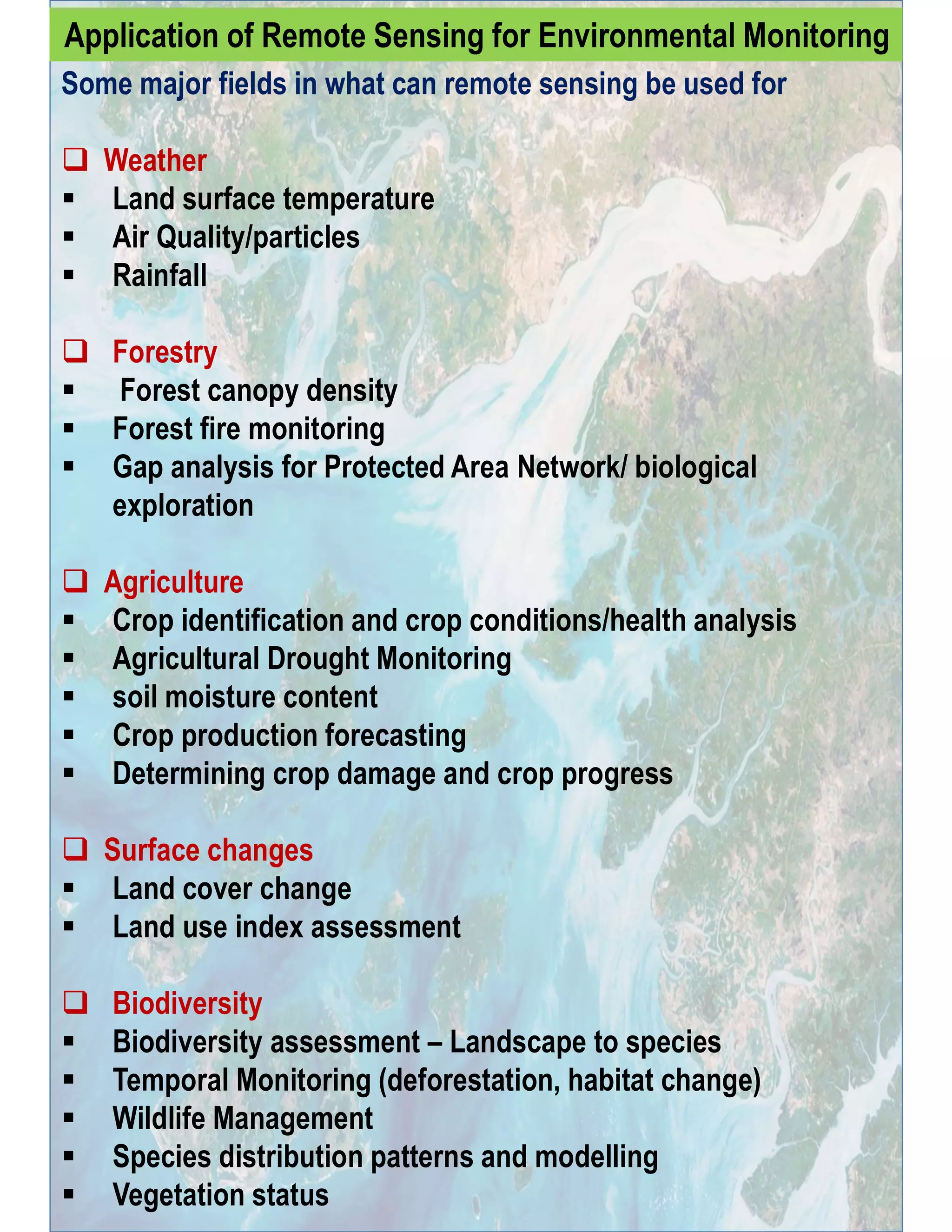
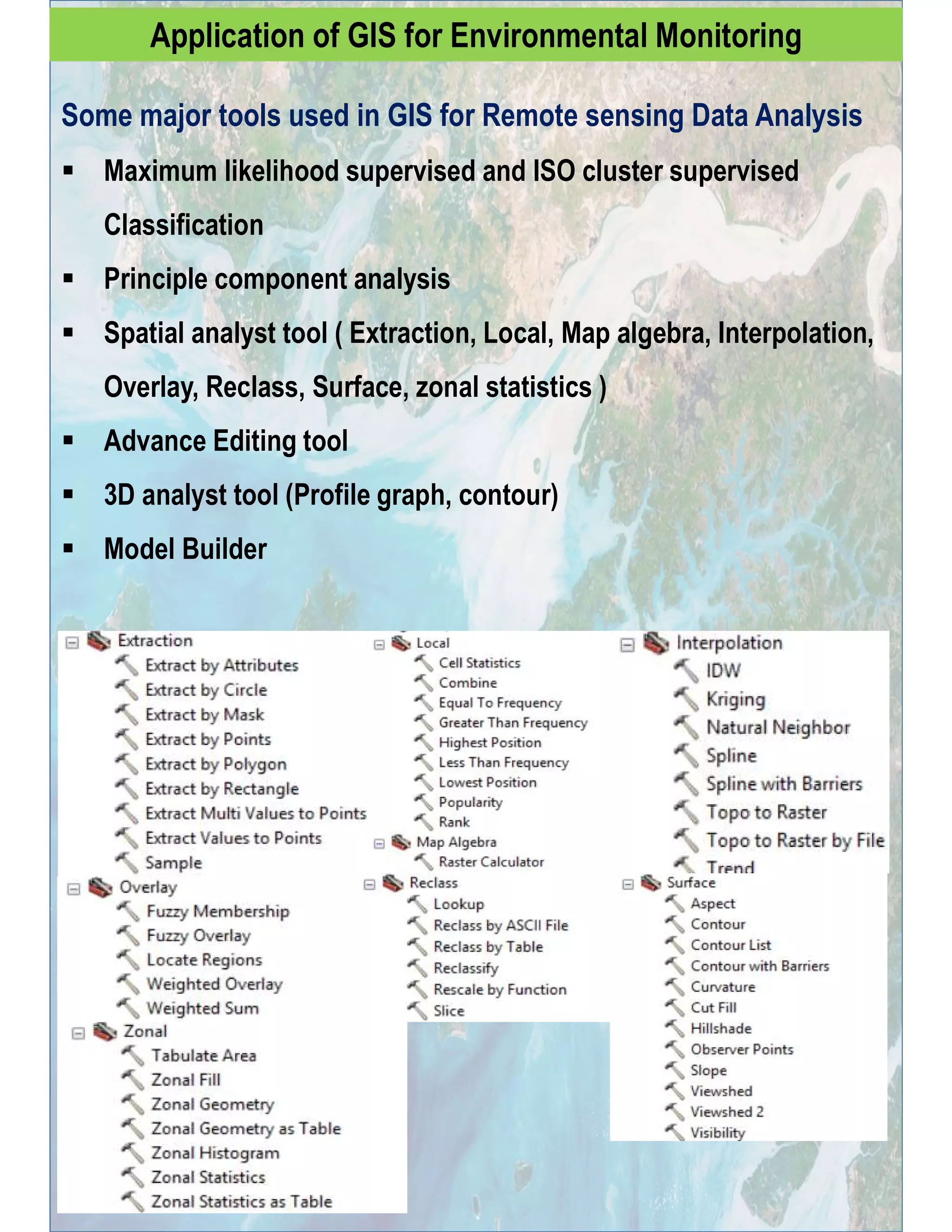
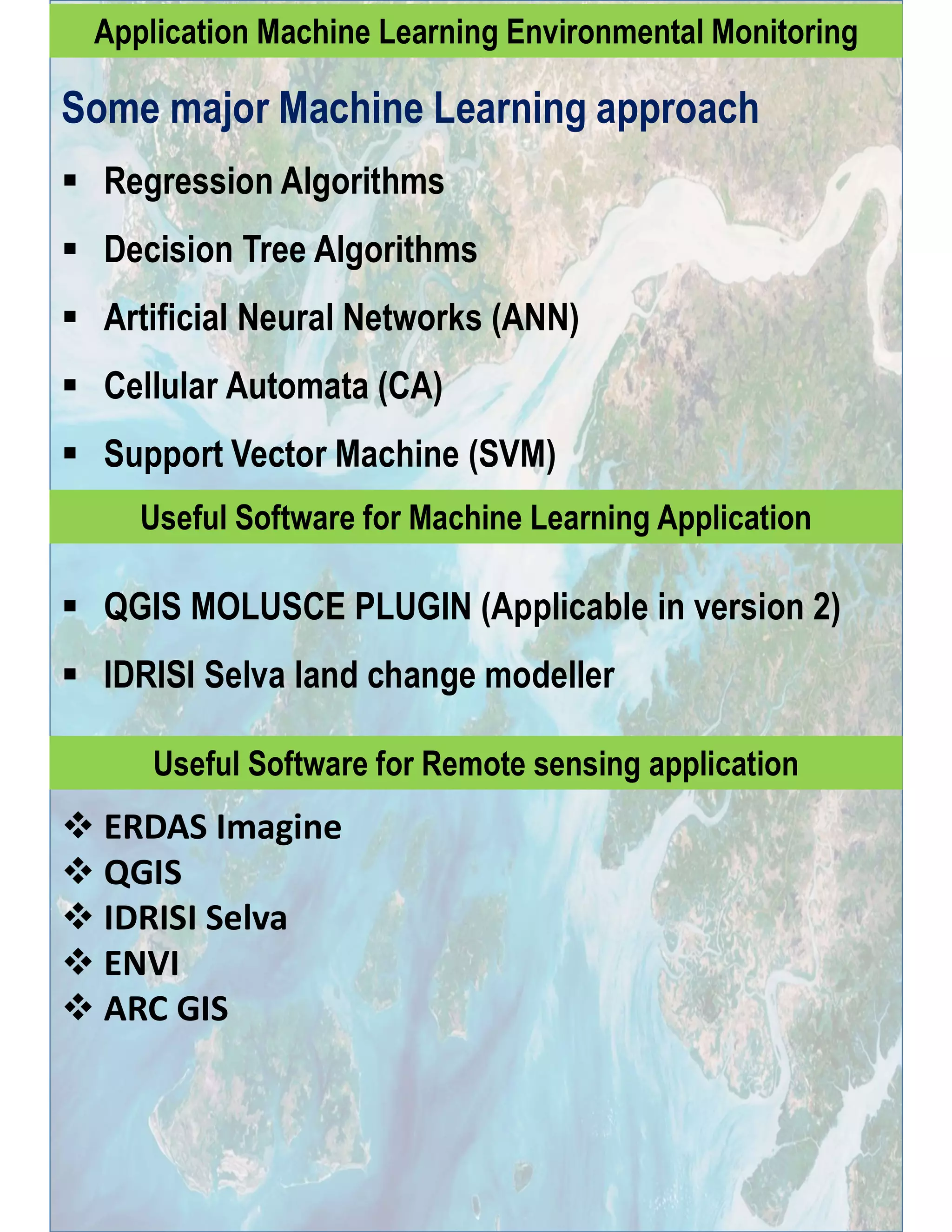

The document discusses various ways that remote sensing and GIS can be used for environmental monitoring. It outlines fields like weather, forestry, agriculture, land use change, and biodiversity that benefit from remote sensing. Common remote sensing applications include land surface temperature monitoring, forest canopy analysis, crop health assessment, and species distribution modeling. The document also lists tools in GIS like classification, principal component analysis, and overlay analysis that support remote sensing data. It provides examples of machine learning approaches and software used in remote sensing and environmental analysis. Finally, it gives recommendations for finding suitable journals and achieving a quick publication response.


