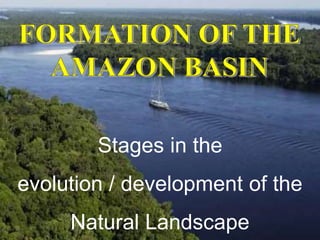
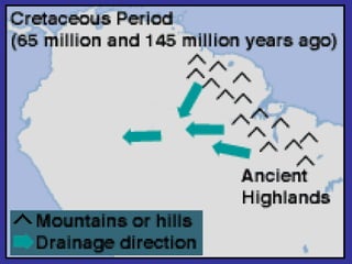
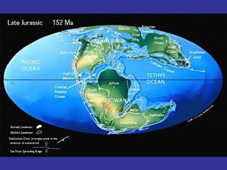
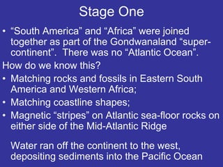
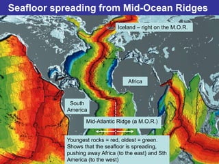
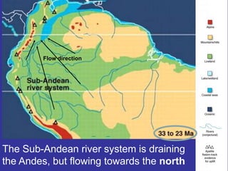
1) Around 150 million years ago, South America and Africa were joined as part of the supercontinent Gondwanaland, with water flowing west into the Pacific Ocean.
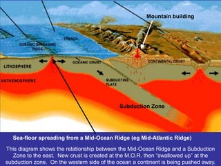
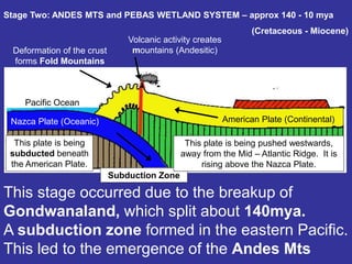
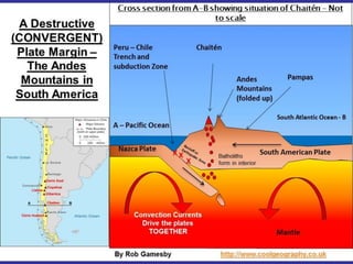
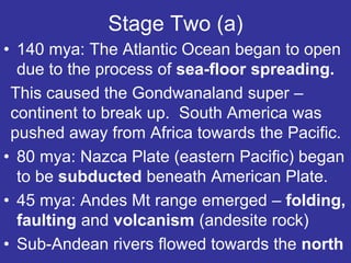
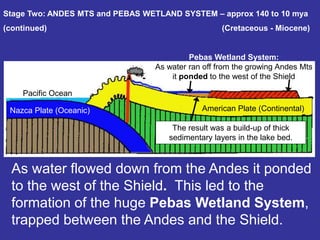
2) Beginning 140 million years ago, the breakup of Gondwanaland caused the formation of the Andes Mountains through subduction and the development of the huge Pebas Wetland System trapped between the Andes and the continental shield.
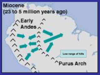
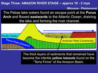
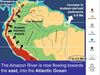
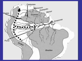
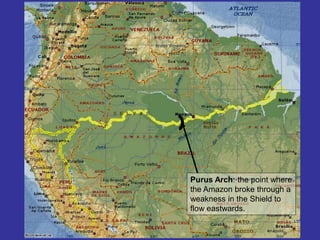
3) Around 10 million years ago, the Pebas Lake drained eastward through the Purus Arch, forming the ancestral Amazon River channel and depositing thick layers of sediment that became the infertile soils of the Amazon Basin.