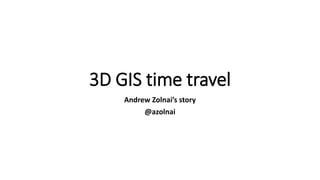
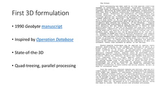

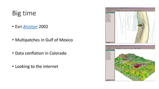
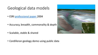
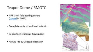
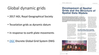
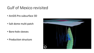

The document discusses Andrew Zolnai's work over several decades developing 3D GIS capabilities, beginning with early formulations in the 1990s and iterations showcasing real-time 3D navigation and tracking. It describes some of his key contributions, including developing 3D analysis tools for applications in petroleum and mining extraction, creating accurate and scalable geological data models, and modeling subsurface reservoirs using ArcGIS Pro and related extensions. Most recently, his work has involved developing dynamic tessellation grids that adjust to plate tectonic movements and revisiting 3D modeling of Gulf of Mexico salt dome structures.


![[DSC Europe 25] Borko Kozomora - Optimizing business workflows with advances ...](https://cdn.slidesharecdn.com/ss_thumbnails/hbgekyb0txw0xpo4yfml-borko-kozomora-leading-ai-transformation-260122103838-cc29ee38-thumbnail.jpg?width=640&height=640&fit=bounds)


![[DSC Europe 25] Milos Belcevic - Product Professional's Journey to Full-Stack...](https://cdn.slidesharecdn.com/ss_thumbnails/1zovd6fgsycdg4wvgvls-milos-belcevic-product-professionals-journey-to-full-stack-product-developer-260123083019-d993120d-thumbnail.jpg?width=640&height=640&fit=bounds)

