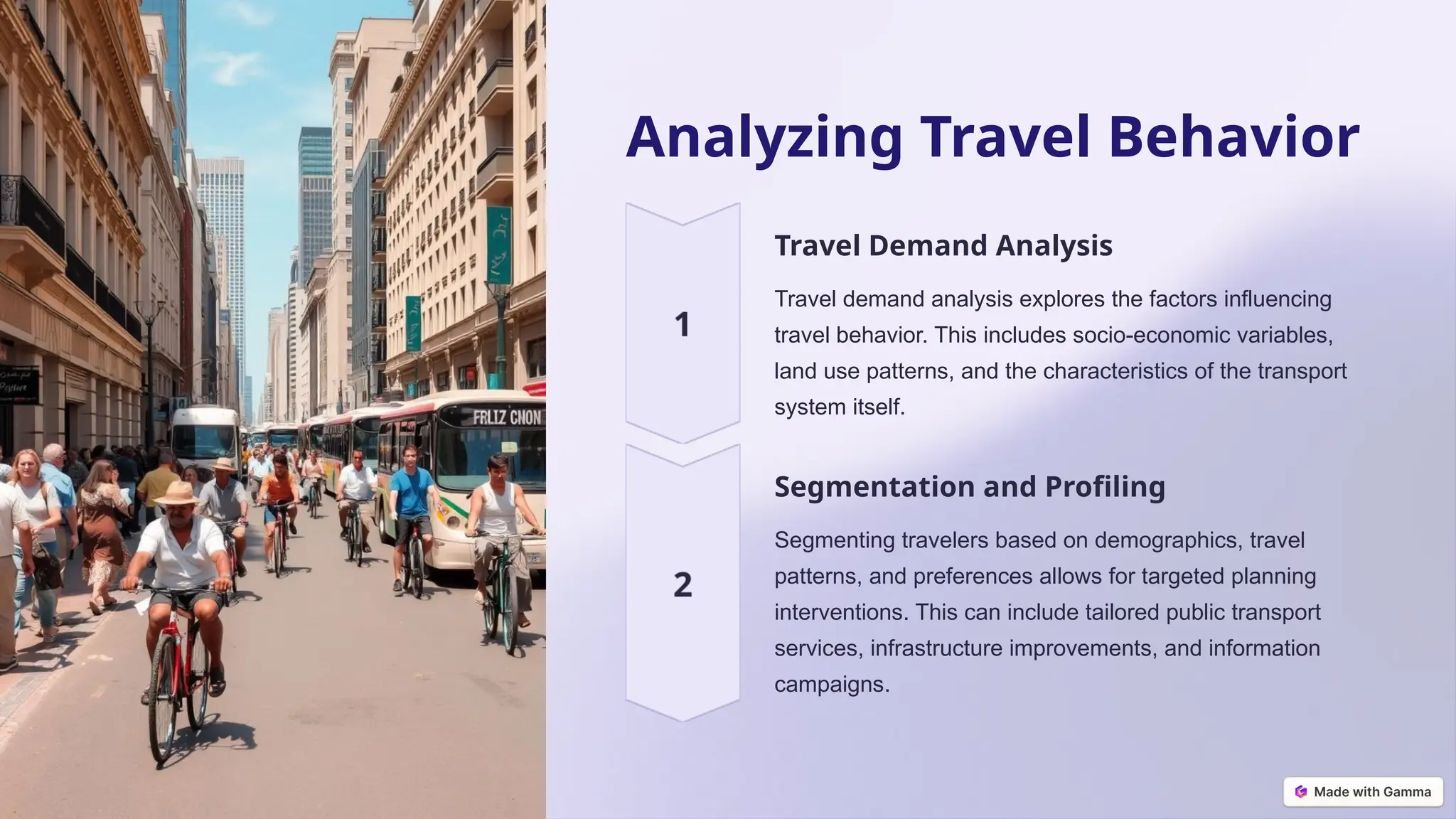
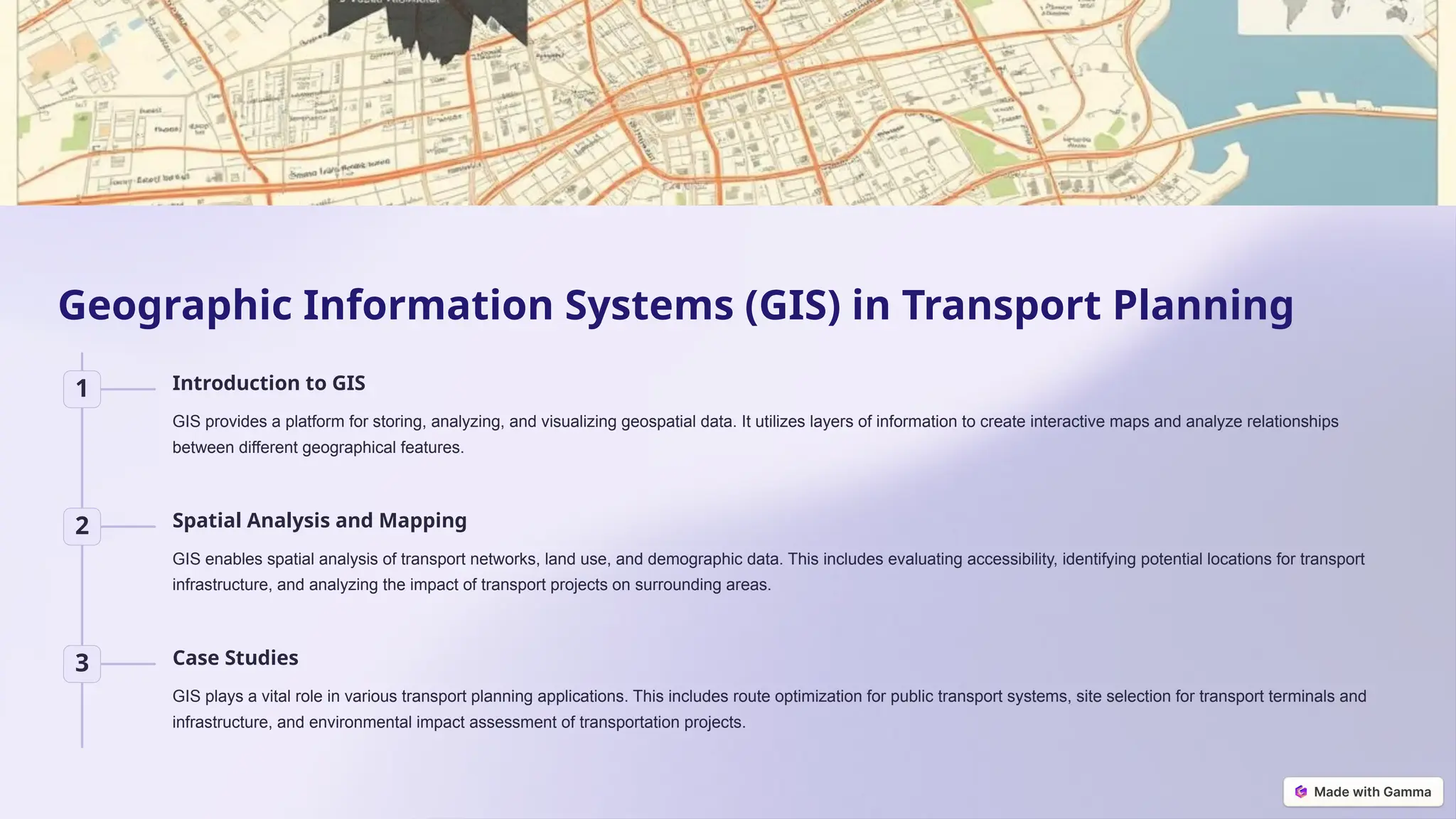
Data Collection &
Analysis in
Transport
Planning
Data collection and analysis play a crucial role in informed decision-
making for efficient transport planning. This presentation delves into the
methods, techniques, and tools utilized for collecting and interpreting data
to understand travel behavior, traffic patterns, and network performance.
by Kumar Dhamala
Methods of Data Collection
1 Travel Behavior Surveys
Surveys are crucial for understanding travel patterns, mode choice, trip purposes,
and socio-economic factors influencing travel decisions. These surveys can be
conducted through various methods like face-to-face interviews, online
questionnaires, or phone-based surveys.
2 Traffic Surveys
Traffic surveys involve collecting data on vehicle volume, speed, and classification.
Manual traffic counts utilize trained observers, while automated systems leverage
technologies like loop detectors, cameras, and radar for continuous data capture.
3 Origin-Destination Studies
Understanding the flow of trips between different locations is vital for network
planning, congestion management, and infrastructure design. O-D studies utilize
various methods like roadside interviews, license plate matching, mobile phone
data, and travel diaries.
Travel Behavior Surveys
Household Travel
Surveys
Household travel surveys aim to
capture the travel patterns of all
members of a household.
These surveys often include
detailed information about trip
purposes, mode choice,
departure and arrival times, and
socio-economic characteristics.
Stated Preference
Surveys
Stated preference surveys
present hypothetical scenarios
to respondents to understand
their preferences for different
transport options. They help
assess the willingness to pay
for improved services and the
impact of policy changes.
Revealed Preference
Surveys
Revealed preference surveys
analyze actual travel choices
made by individuals. They use
real-world data to understand
how people respond to existing
transport systems and their
willingness to pay for different
services.
Traffic Surveys
1
Manual Traffic Counts
Manual traffic counts involve trained
observers stationed at intersections or along
roadways to manually record vehicle,
pedestrian, and cyclist counts. They typically
record vehicle classification, speed, and
volume.
2
Automated Traffic Data
Collection
Automated systems use loop detectors
embedded in the road surface, cameras, and
radar sensors to continuously collect traffic
data. They offer advantages such as
increased accuracy, reduced labor costs, and
continuous monitoring.
3
Travel Time Surveys
Travel time surveys measure the time taken
to travel between different points using
methods like the floating car method, where a
vehicle travels along a specific route, or GPS
tracking, which records travel time based on
location data.
Origin-Destination (O-D) Studies
Purpose of O-D Studies
O-D studies aim to understand the flow of trips between different locations. They
provide insights into travel demand patterns, the impact of congestion on different
routes, and the effectiveness of different transport modes.
Methods for Conducting O-D Studies
Roadside interviews involve stopping vehicles at specific locations to collect
information about their origin and destination. License plate matching uses databases
of vehicle registration information to track trip patterns.
Analyzing O-D Matrices
The results of O-D studies are often represented in matrices, where rows and columns
represent different locations and the cells show the number of trips between each pair
of locations. Analyzing these matrices allows for the identification of key travel patterns
and network flows.
Analyzing Travel Behavior
Travel Demand Analysis
Travel demand analysis explores the factors influencing
travel behavior. This includes socio-economic variables,
land use patterns, and the characteristics of the transport
system itself.
Segmentation and Profiling
Segmenting travelers based on demographics, travel
patterns, and preferences allows for targeted planning
interventions. This can include tailored public transport
services, infrastructure improvements, and information
campaigns.
Traffic Survey Analysis
1 Data Cleaning and Validation
Raw traffic data often contains errors and inconsistencies that need to be
addressed. This includes identifying missing data points, outliers, and
inconsistencies in data collection methods. Cleaning and validating the
data ensure its accuracy and reliability.
2 Traffic Volume and Flow Analysis
Analyzing traffic counts provides insights into road network performance. It
helps identify peak hours, bottlenecks, and congestion points, leading to
targeted traffic management interventions.
3 Speed and Delay Analysis
Evaluating vehicle speeds and delays helps understand traffic flow
efficiency. It identifies areas for improvement, such as signal timing
optimization, road widening, or alternative routing strategies.
Origin-Destination
(O-D) Analysis
Purpose Applications
Understanding the flow of
trips between different
locations
Route planning, public
transport optimization,
congestion management
Analyzing travel demand
patterns and network
connectivity
Infrastructure design,
land use planning,
transportation policy
development
Data Interpretation Using
Statistical Tools
Descriptive Statistics
Descriptive statistics summarize and describe transportation data. This includes
measures such as mean, median, mode, standard deviation, and variance. These
statistics help identify trends, patterns, and anomalies in the data.
Inferential Statistics
Inferential statistics use techniques like hypothesis testing, correlation, and regression
analysis to draw conclusions from data. This allows for predicting travel demand,
evaluating the impact of policy interventions, and identifying causal relationships
between variables.
Geographic Information Systems (GIS) in Transport Planning
1 Introduction to GIS
GIS provides a platform for storing, analyzing, and visualizing geospatial data. It utilizes layers of information to create interactive maps and analyze relationships
between different geographical features.
2 Spatial Analysis and Mapping
GIS enables spatial analysis of transport networks, land use, and demographic data. This includes evaluating accessibility, identifying potential locations for transport
infrastructure, and analyzing the impact of transport projects on surrounding areas.
3 Case Studies
GIS plays a vital role in various transport planning applications. This includes route optimization for public transport systems, site selection for transport terminals and
infrastructure, and environmental impact assessment of transportation projects.

3. Data-Collection-and-Analysis-in-Transport-Planning.pptx

  • 1.
    Data Collection & Analysisin Transport Planning Data collection and analysis play a crucial role in informed decision- making for efficient transport planning. This presentation delves into the methods, techniques, and tools utilized for collecting and interpreting data to understand travel behavior, traffic patterns, and network performance. by Kumar Dhamala
  • 2.
    Methods of DataCollection 1 Travel Behavior Surveys Surveys are crucial for understanding travel patterns, mode choice, trip purposes, and socio-economic factors influencing travel decisions. These surveys can be conducted through various methods like face-to-face interviews, online questionnaires, or phone-based surveys. 2 Traffic Surveys Traffic surveys involve collecting data on vehicle volume, speed, and classification. Manual traffic counts utilize trained observers, while automated systems leverage technologies like loop detectors, cameras, and radar for continuous data capture. 3 Origin-Destination Studies Understanding the flow of trips between different locations is vital for network planning, congestion management, and infrastructure design. O-D studies utilize various methods like roadside interviews, license plate matching, mobile phone data, and travel diaries.
  • 3.
    Travel Behavior Surveys HouseholdTravel Surveys Household travel surveys aim to capture the travel patterns of all members of a household. These surveys often include detailed information about trip purposes, mode choice, departure and arrival times, and socio-economic characteristics. Stated Preference Surveys Stated preference surveys present hypothetical scenarios to respondents to understand their preferences for different transport options. They help assess the willingness to pay for improved services and the impact of policy changes. Revealed Preference Surveys Revealed preference surveys analyze actual travel choices made by individuals. They use real-world data to understand how people respond to existing transport systems and their willingness to pay for different services.
  • 4.
    Traffic Surveys 1 Manual TrafficCounts Manual traffic counts involve trained observers stationed at intersections or along roadways to manually record vehicle, pedestrian, and cyclist counts. They typically record vehicle classification, speed, and volume. 2 Automated Traffic Data Collection Automated systems use loop detectors embedded in the road surface, cameras, and radar sensors to continuously collect traffic data. They offer advantages such as increased accuracy, reduced labor costs, and continuous monitoring. 3 Travel Time Surveys Travel time surveys measure the time taken to travel between different points using methods like the floating car method, where a vehicle travels along a specific route, or GPS tracking, which records travel time based on location data.
  • 5.
    Origin-Destination (O-D) Studies Purposeof O-D Studies O-D studies aim to understand the flow of trips between different locations. They provide insights into travel demand patterns, the impact of congestion on different routes, and the effectiveness of different transport modes. Methods for Conducting O-D Studies Roadside interviews involve stopping vehicles at specific locations to collect information about their origin and destination. License plate matching uses databases of vehicle registration information to track trip patterns. Analyzing O-D Matrices The results of O-D studies are often represented in matrices, where rows and columns represent different locations and the cells show the number of trips between each pair of locations. Analyzing these matrices allows for the identification of key travel patterns and network flows.
  • 6.
    Analyzing Travel Behavior TravelDemand Analysis Travel demand analysis explores the factors influencing travel behavior. This includes socio-economic variables, land use patterns, and the characteristics of the transport system itself. Segmentation and Profiling Segmenting travelers based on demographics, travel patterns, and preferences allows for targeted planning interventions. This can include tailored public transport services, infrastructure improvements, and information campaigns.
  • 7.
    Traffic Survey Analysis 1Data Cleaning and Validation Raw traffic data often contains errors and inconsistencies that need to be addressed. This includes identifying missing data points, outliers, and inconsistencies in data collection methods. Cleaning and validating the data ensure its accuracy and reliability. 2 Traffic Volume and Flow Analysis Analyzing traffic counts provides insights into road network performance. It helps identify peak hours, bottlenecks, and congestion points, leading to targeted traffic management interventions. 3 Speed and Delay Analysis Evaluating vehicle speeds and delays helps understand traffic flow efficiency. It identifies areas for improvement, such as signal timing optimization, road widening, or alternative routing strategies.
  • 8.
    Origin-Destination (O-D) Analysis Purpose Applications Understandingthe flow of trips between different locations Route planning, public transport optimization, congestion management Analyzing travel demand patterns and network connectivity Infrastructure design, land use planning, transportation policy development
  • 9.
    Data Interpretation Using StatisticalTools Descriptive Statistics Descriptive statistics summarize and describe transportation data. This includes measures such as mean, median, mode, standard deviation, and variance. These statistics help identify trends, patterns, and anomalies in the data. Inferential Statistics Inferential statistics use techniques like hypothesis testing, correlation, and regression analysis to draw conclusions from data. This allows for predicting travel demand, evaluating the impact of policy interventions, and identifying causal relationships between variables.
  • 10.
    Geographic Information Systems(GIS) in Transport Planning 1 Introduction to GIS GIS provides a platform for storing, analyzing, and visualizing geospatial data. It utilizes layers of information to create interactive maps and analyze relationships between different geographical features. 2 Spatial Analysis and Mapping GIS enables spatial analysis of transport networks, land use, and demographic data. This includes evaluating accessibility, identifying potential locations for transport infrastructure, and analyzing the impact of transport projects on surrounding areas. 3 Case Studies GIS plays a vital role in various transport planning applications. This includes route optimization for public transport systems, site selection for transport terminals and infrastructure, and environmental impact assessment of transportation projects.