Downloaded 490 times
![METHODOLOGY FOR CHANGE DETECTION OF REMOTE
SENSING
IMAGE ALGEBRA:
It identifies the amount of change between pre and post event images.
D(i,j,k)=BV(i,j,k)[1]-BV(i,j,k)[2]+c
where
D(i, j,k ):-change pixel value
BV(i,j,k)[1]:-brightness value at time1
BV(i,j,k)[2]:-brightness value at time2
c:-constant
i:-row index
j:-column index
k:-single band
7](https://image.slidesharecdn.com/satelliteimageprocessing-140203132955-phpapp02/85/Satellite-image-processing-7-320.jpg)


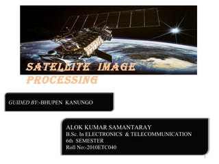
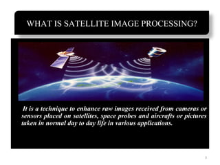
The document discusses satellite image processing, detailing techniques for enhancing images from satellites and remote sensing, including resolution types and image segmentation. It describes various satellite image operators and Google Maps features, highlighting how these technologies assist in navigation and environmental assessment. Applications such as real-time processing of satellite images are also explored, emphasizing their use in consumer apps and geographic information retrieval.