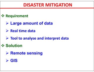
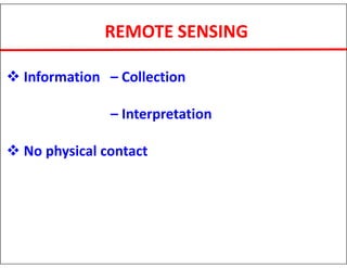
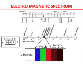
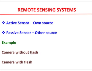
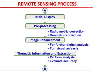
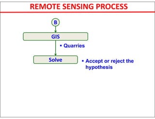
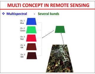
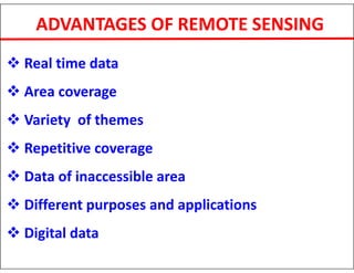
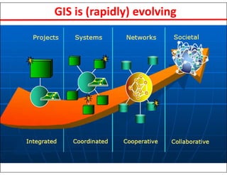
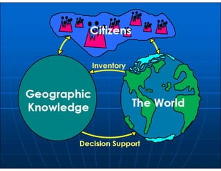
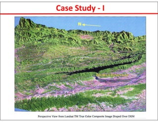
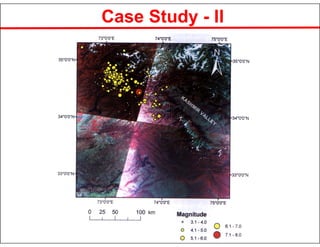
This document discusses the applications of remote sensing and GIS for disaster management. It notes that India has a growing population and limited resources, highlighting the need for monitoring and sustainable management of these resources. Remote sensing and GIS provide tools to analyze large amounts of real-time data in order to assess hazards, vulnerability, and risk for disaster mitigation. The document outlines the history of remote sensing and describes various satellite platforms, sensors, and data types. It also discusses using remote sensing and GIS for rapid damage assessment and relief efforts after disasters occur. Two case studies on using satellite data for tectonic analysis in India and assessing ground deformation after the 2005 Pakistan earthquake are summarized.