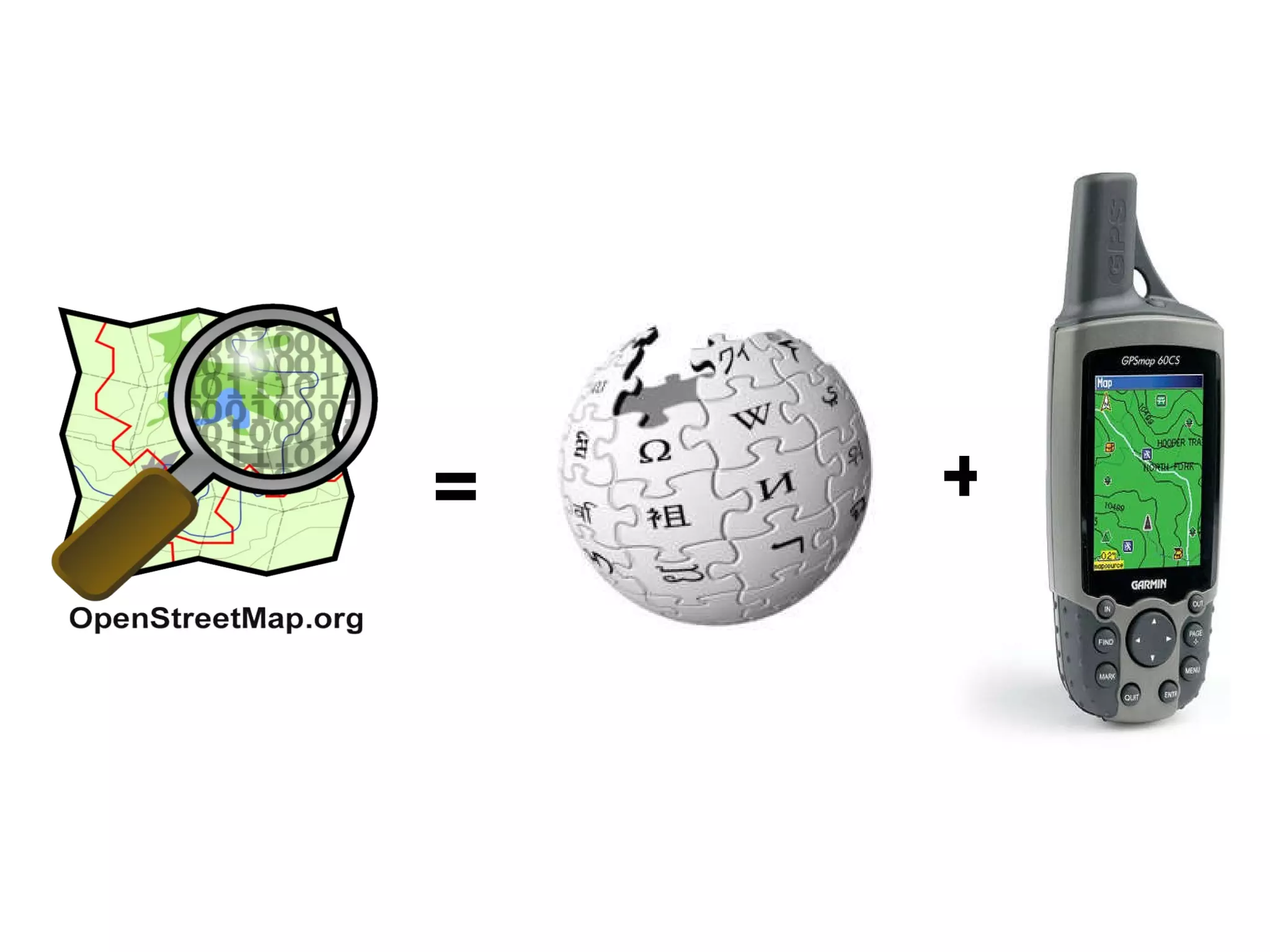
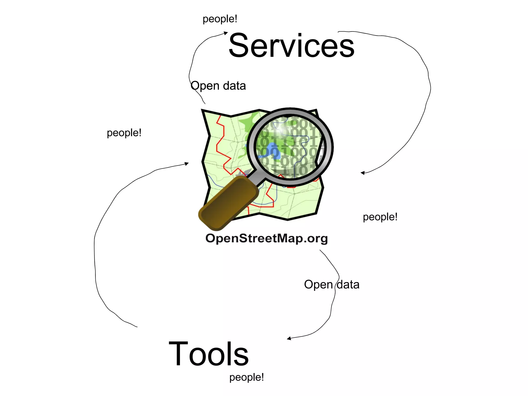
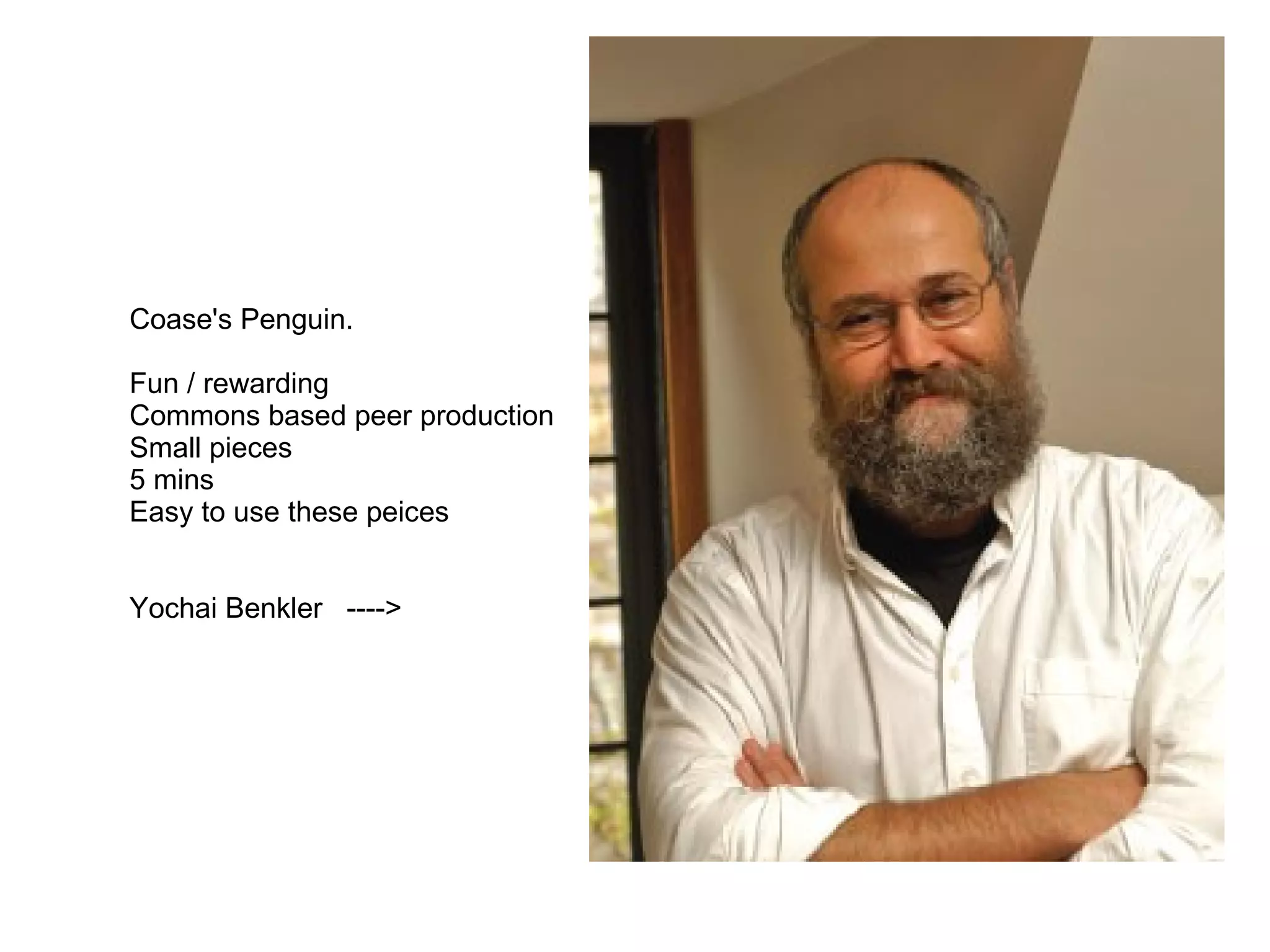
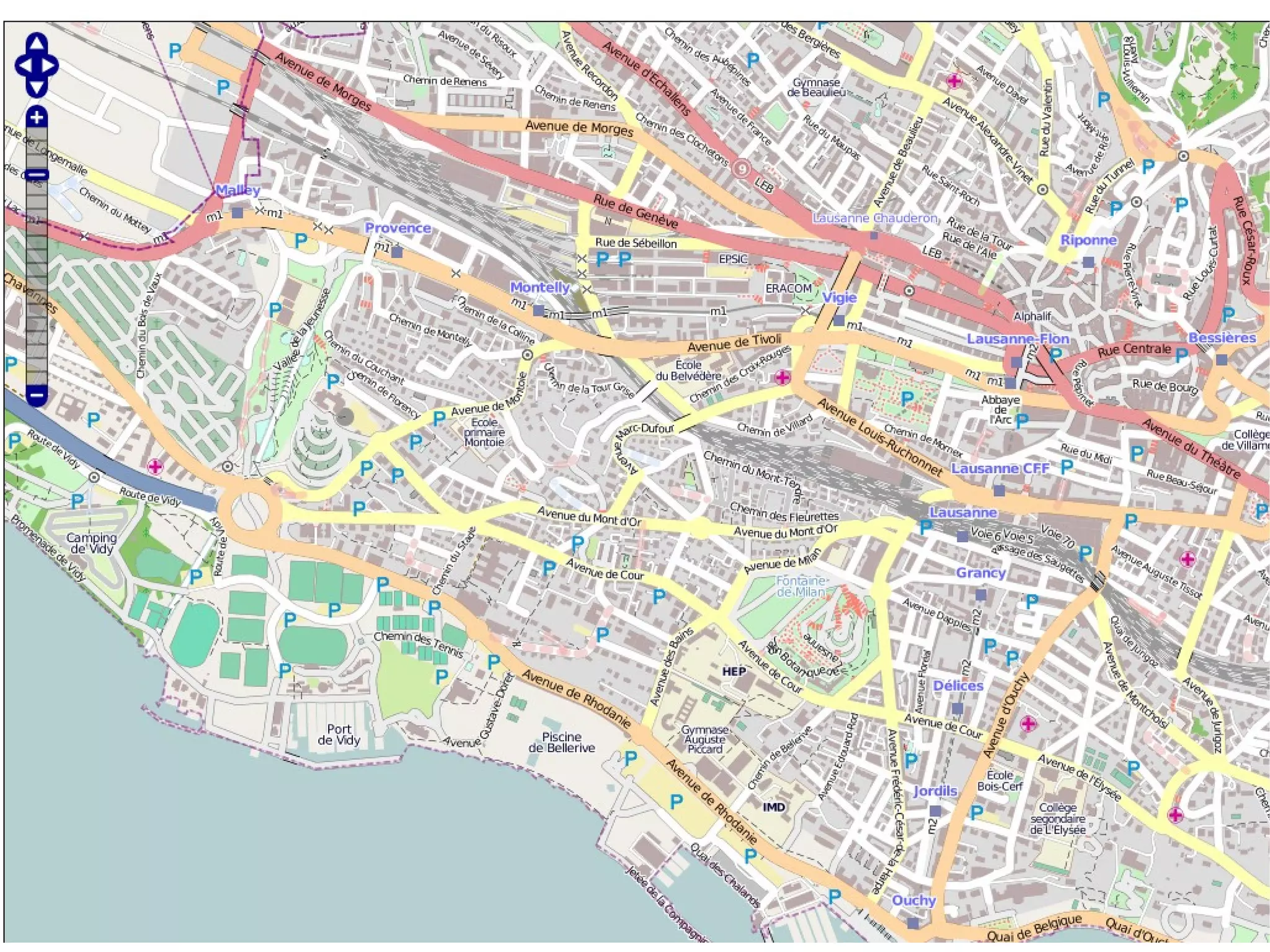
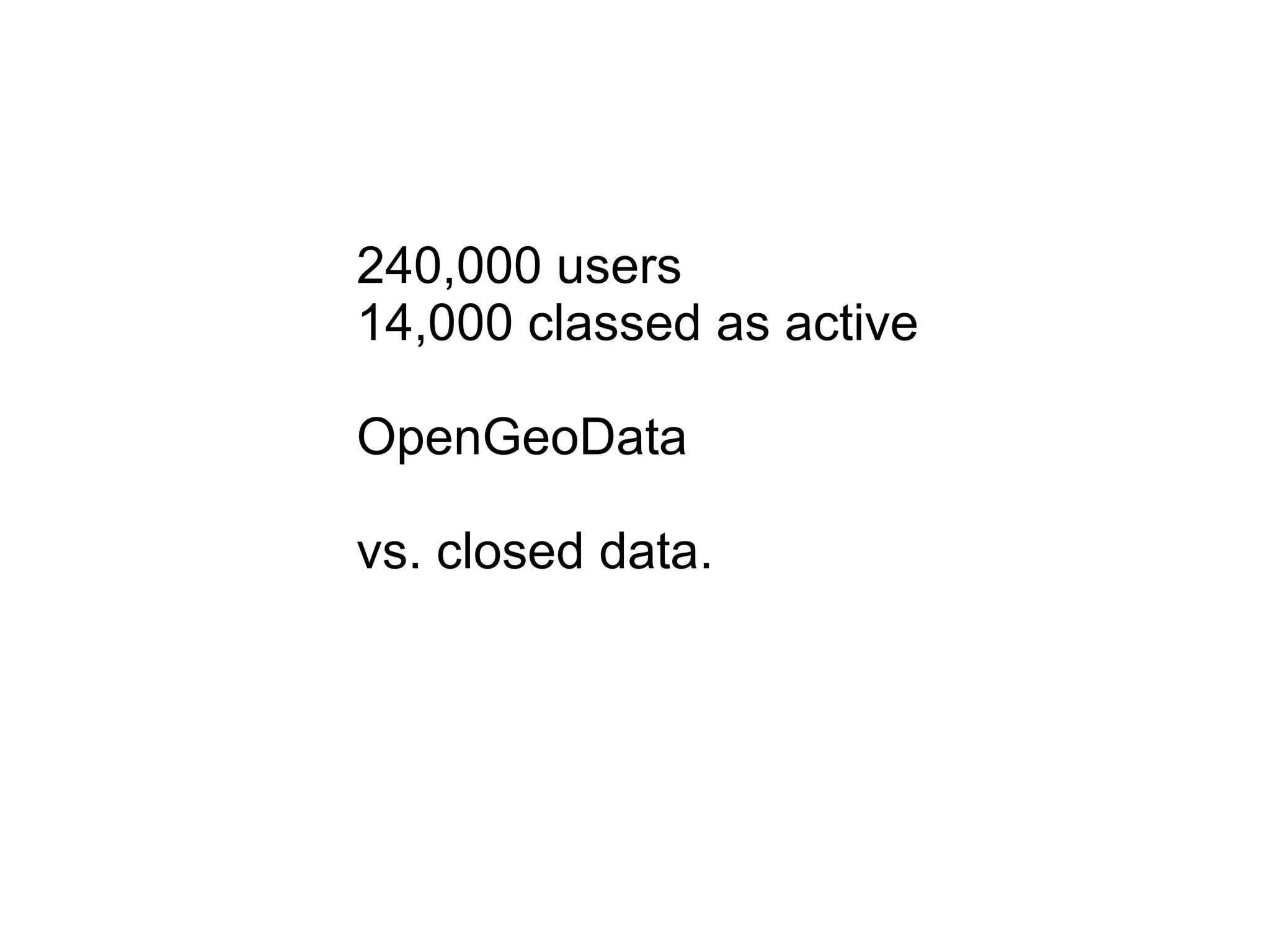
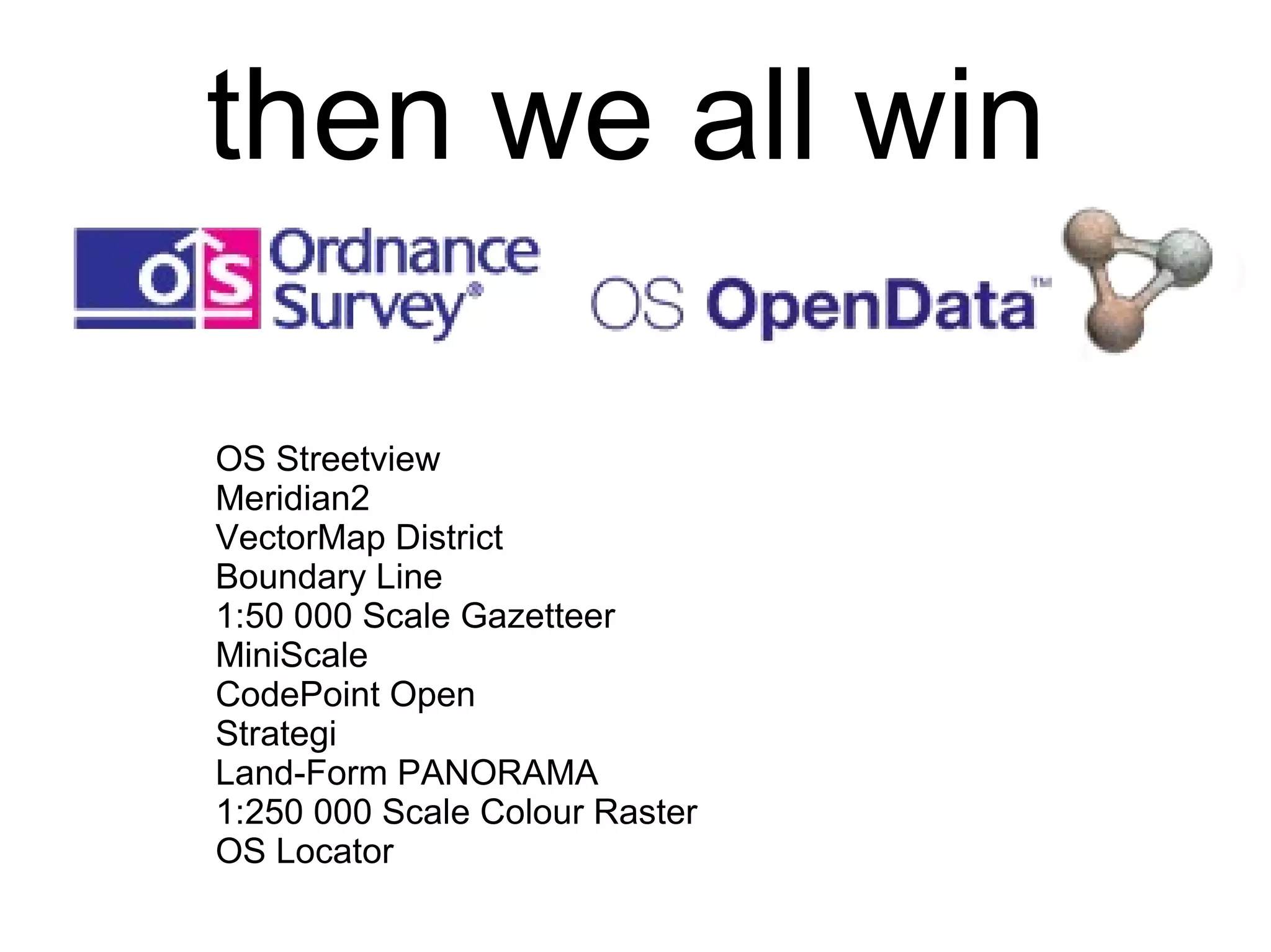
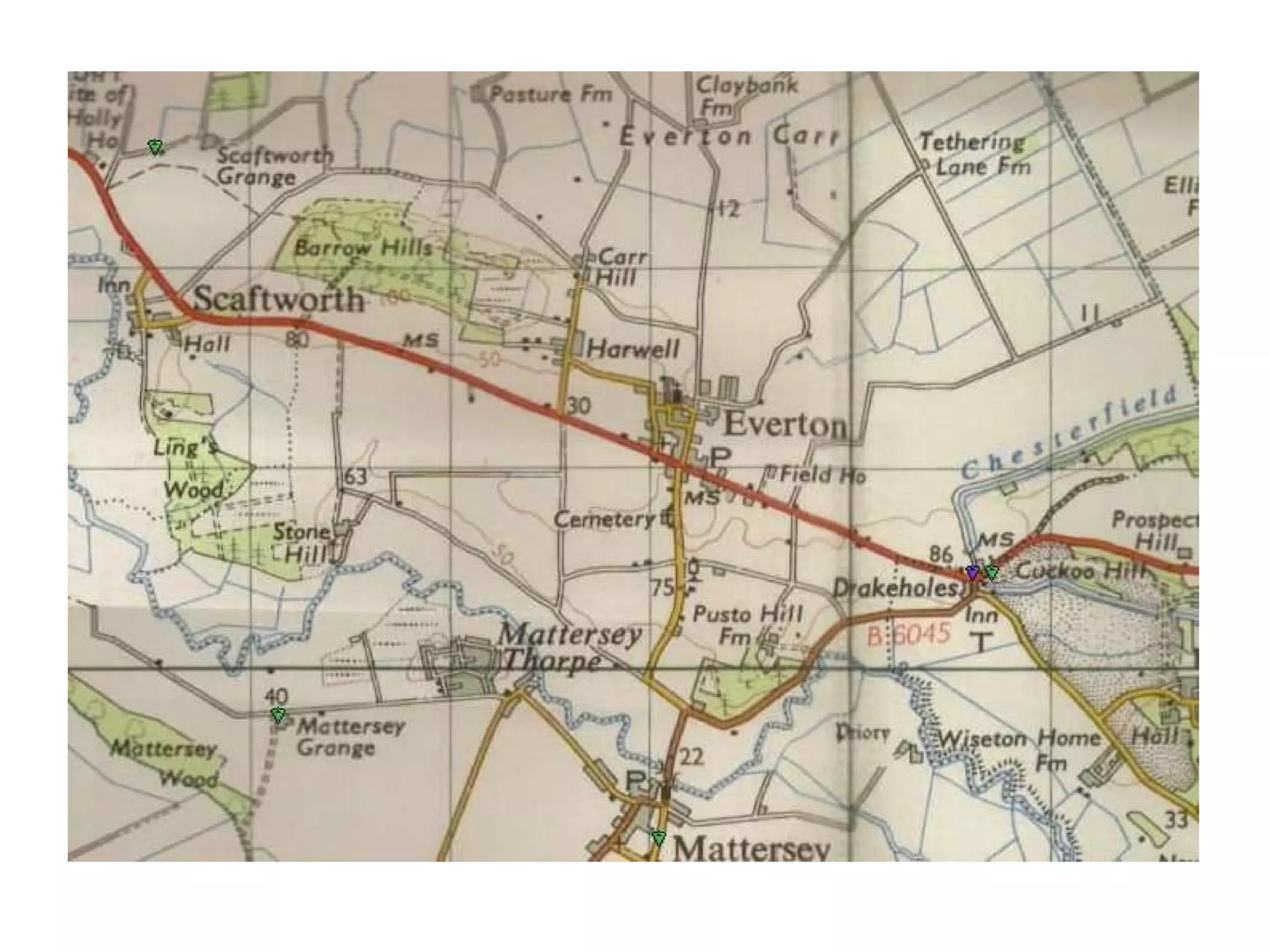
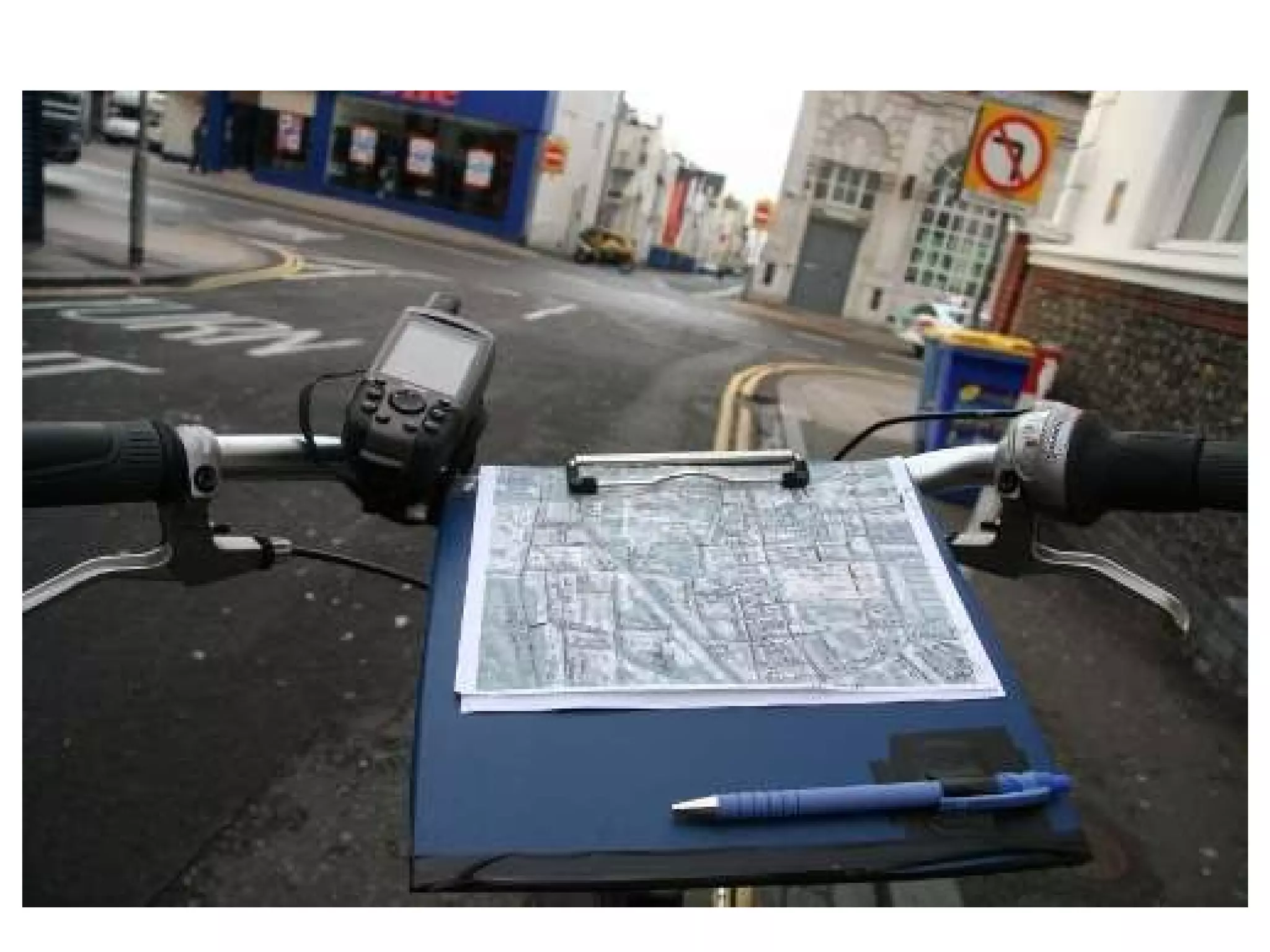
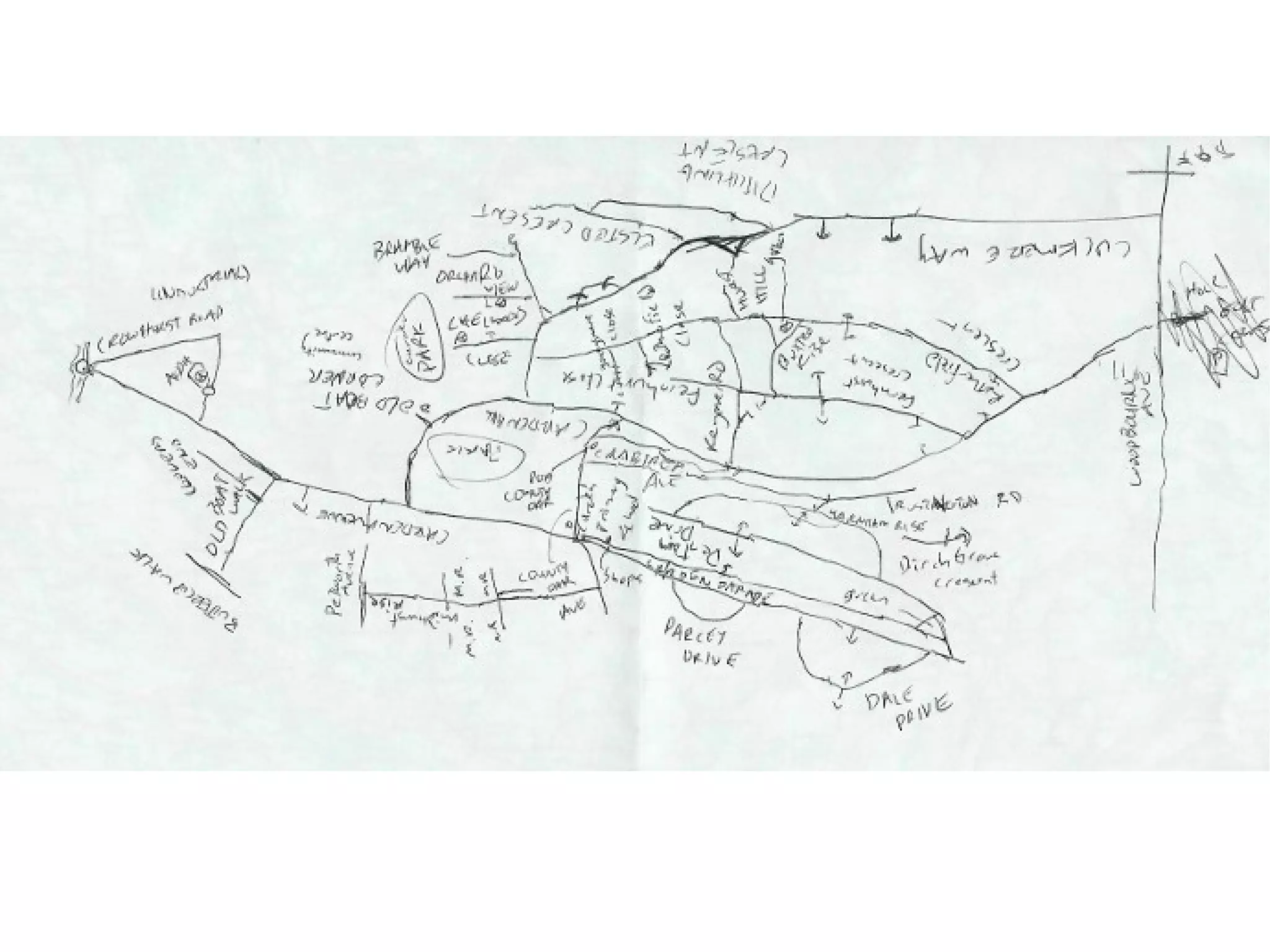
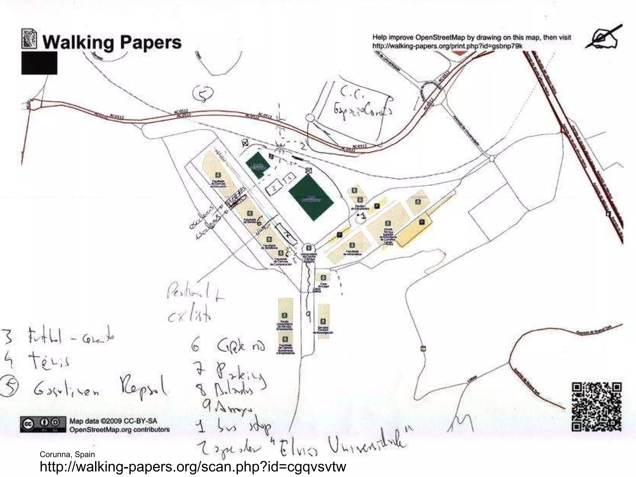
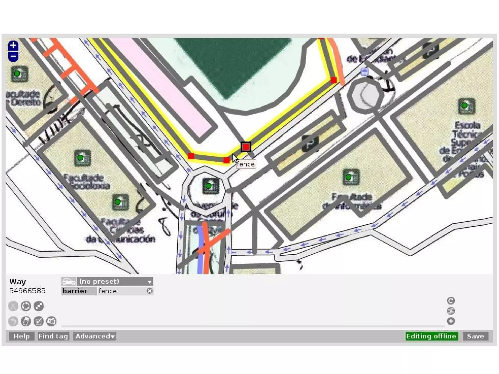
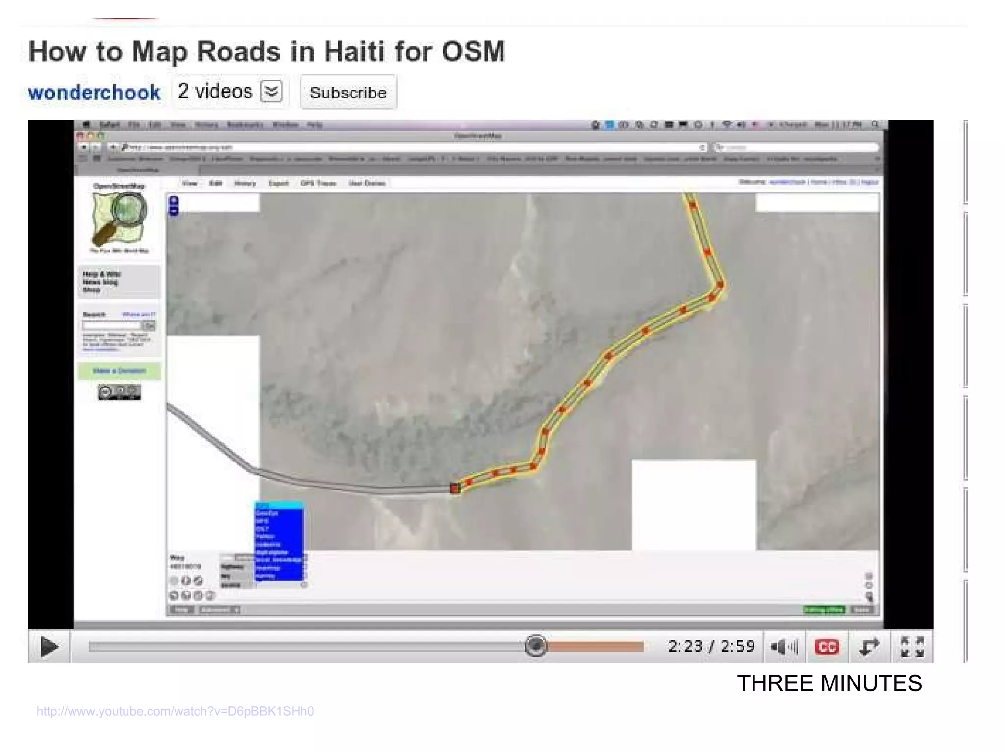
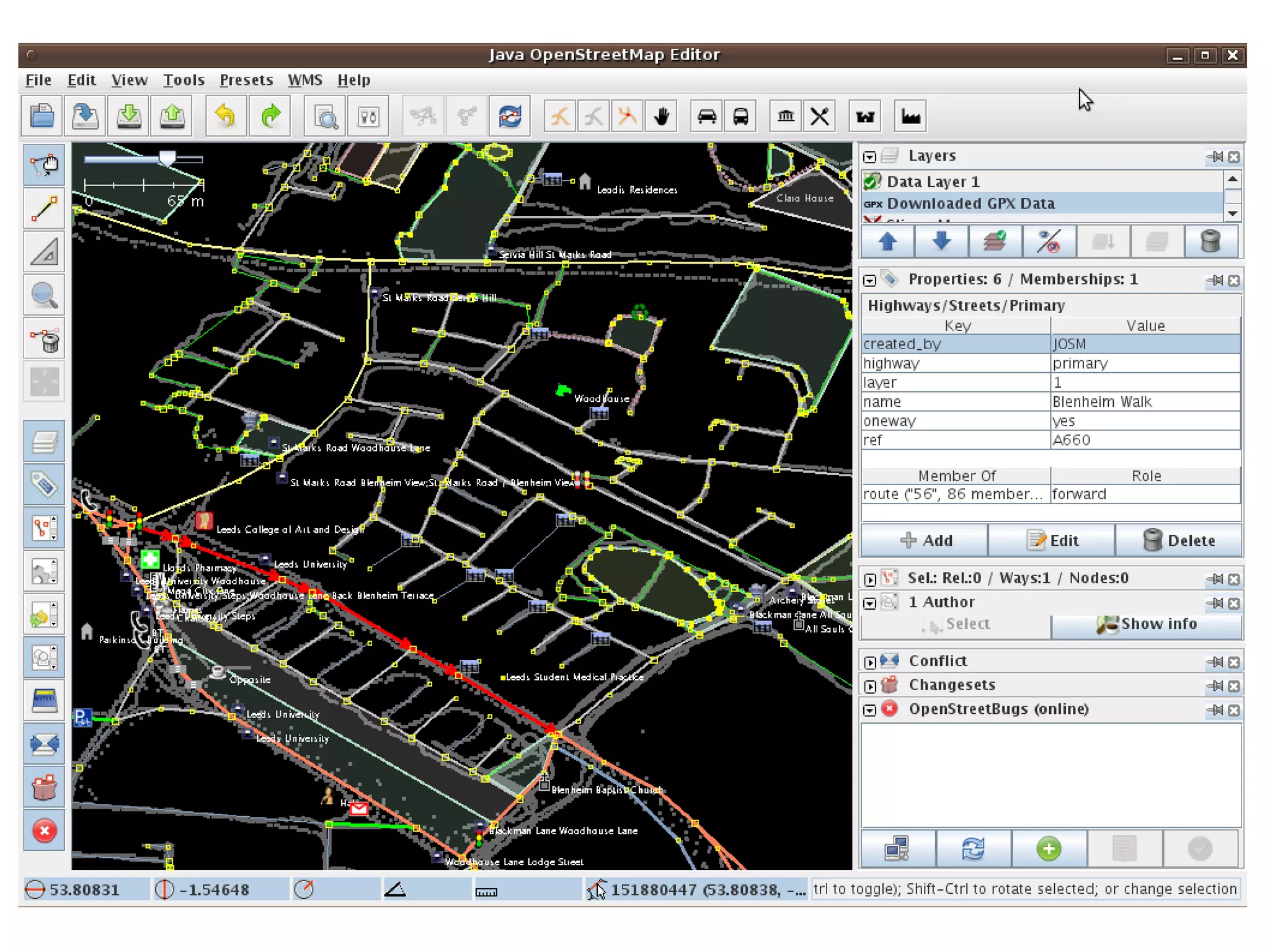
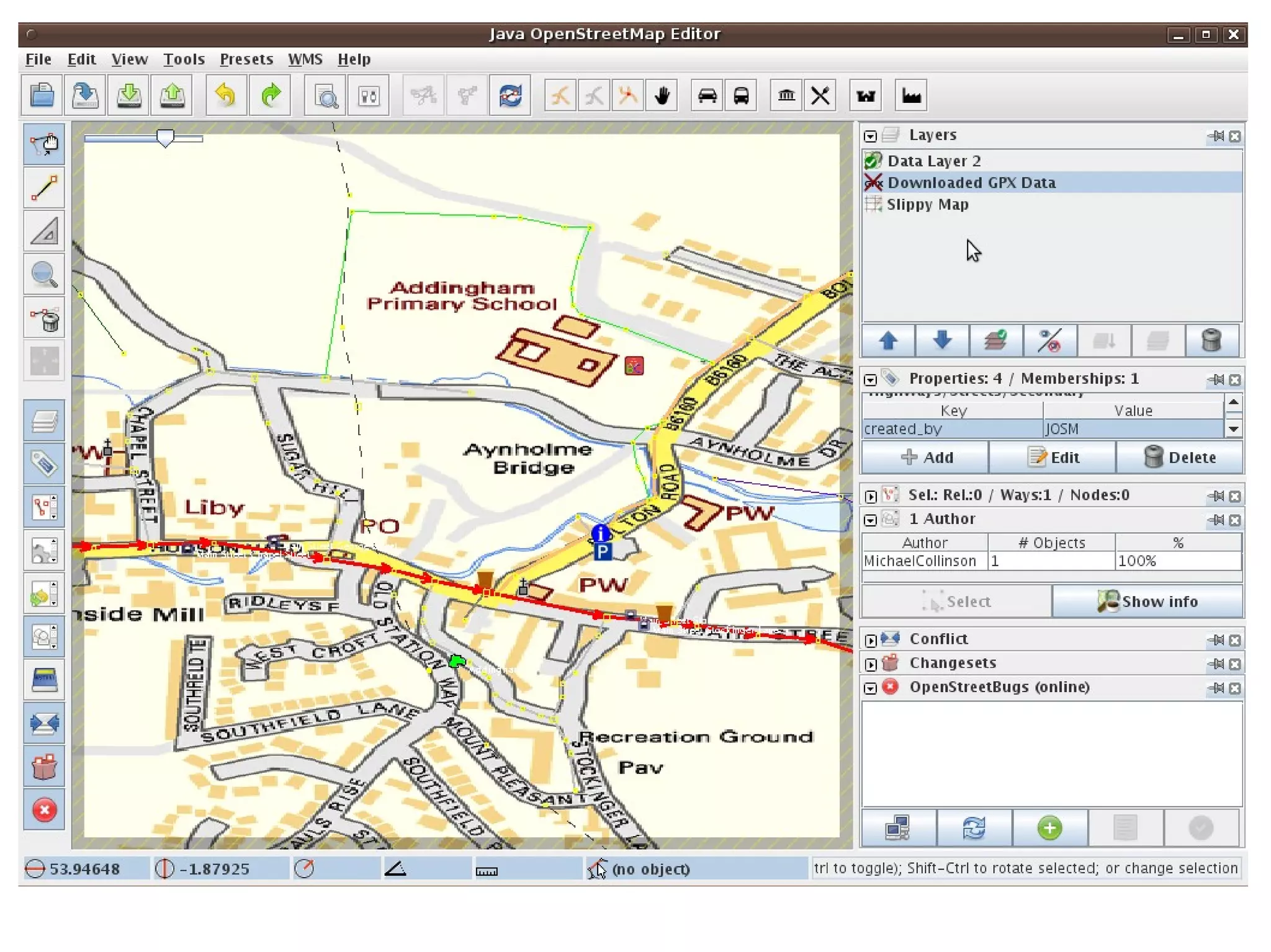
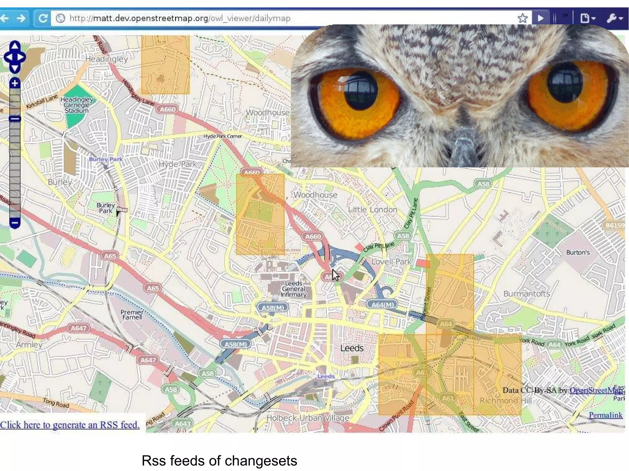
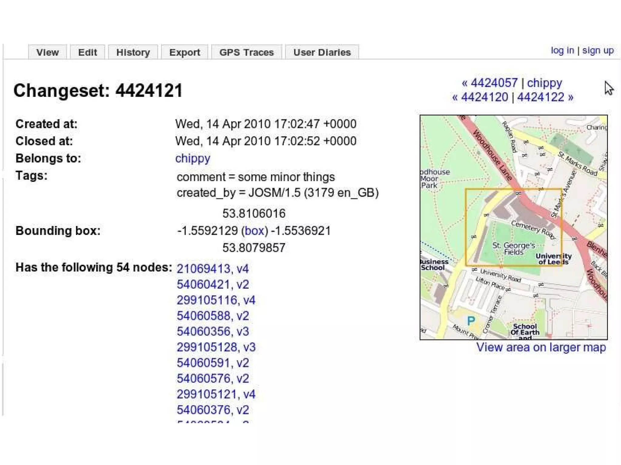
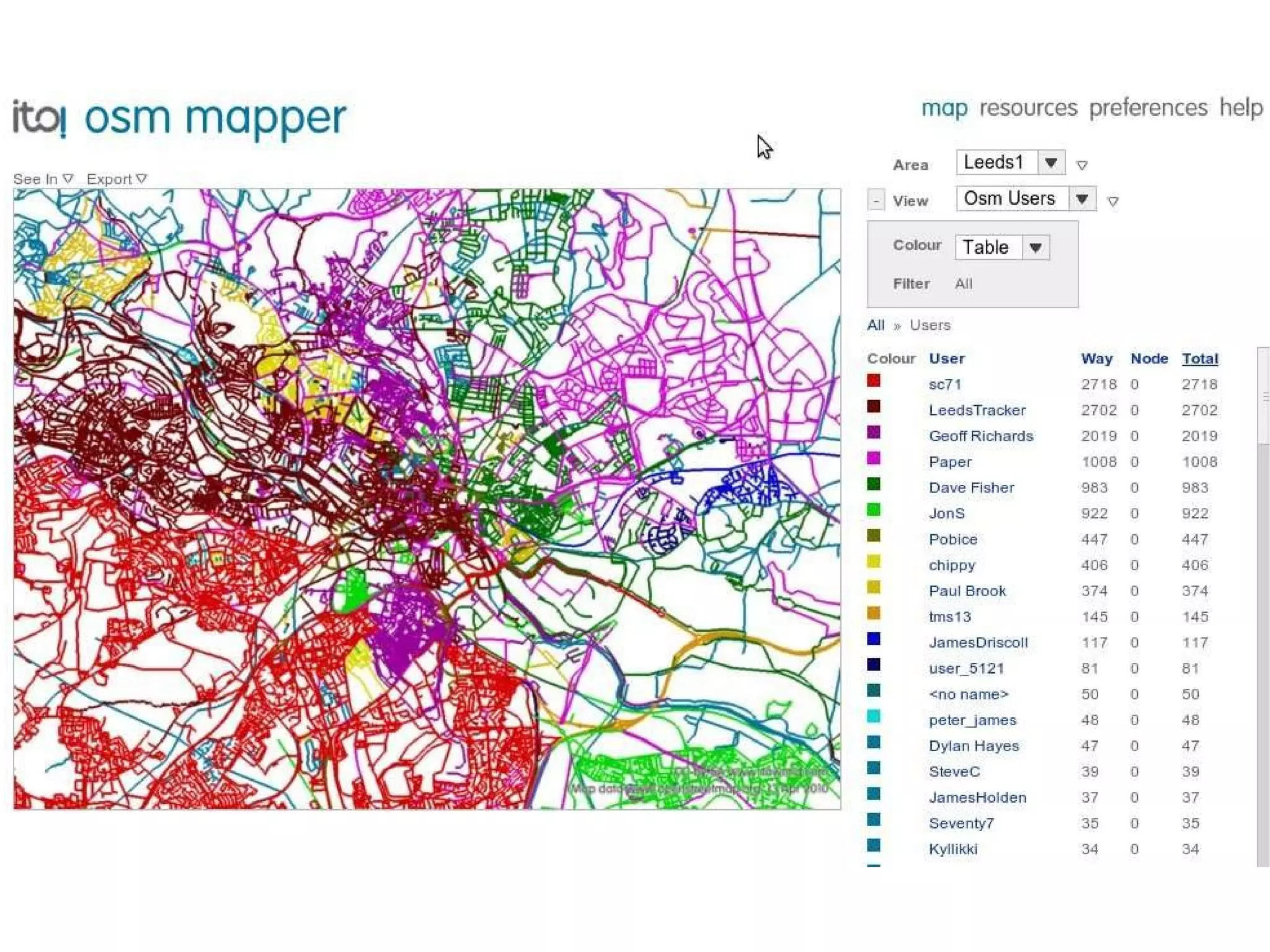
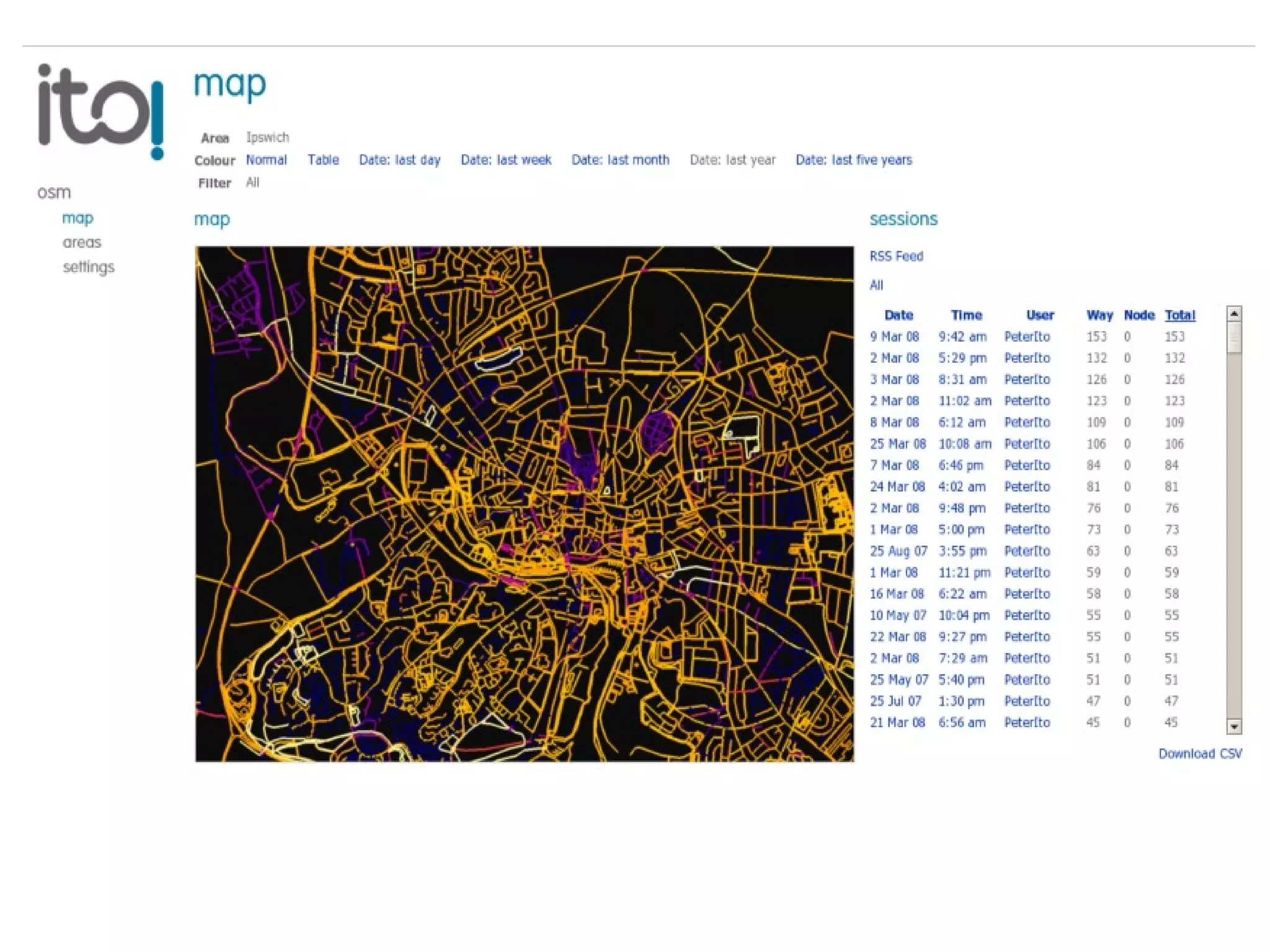
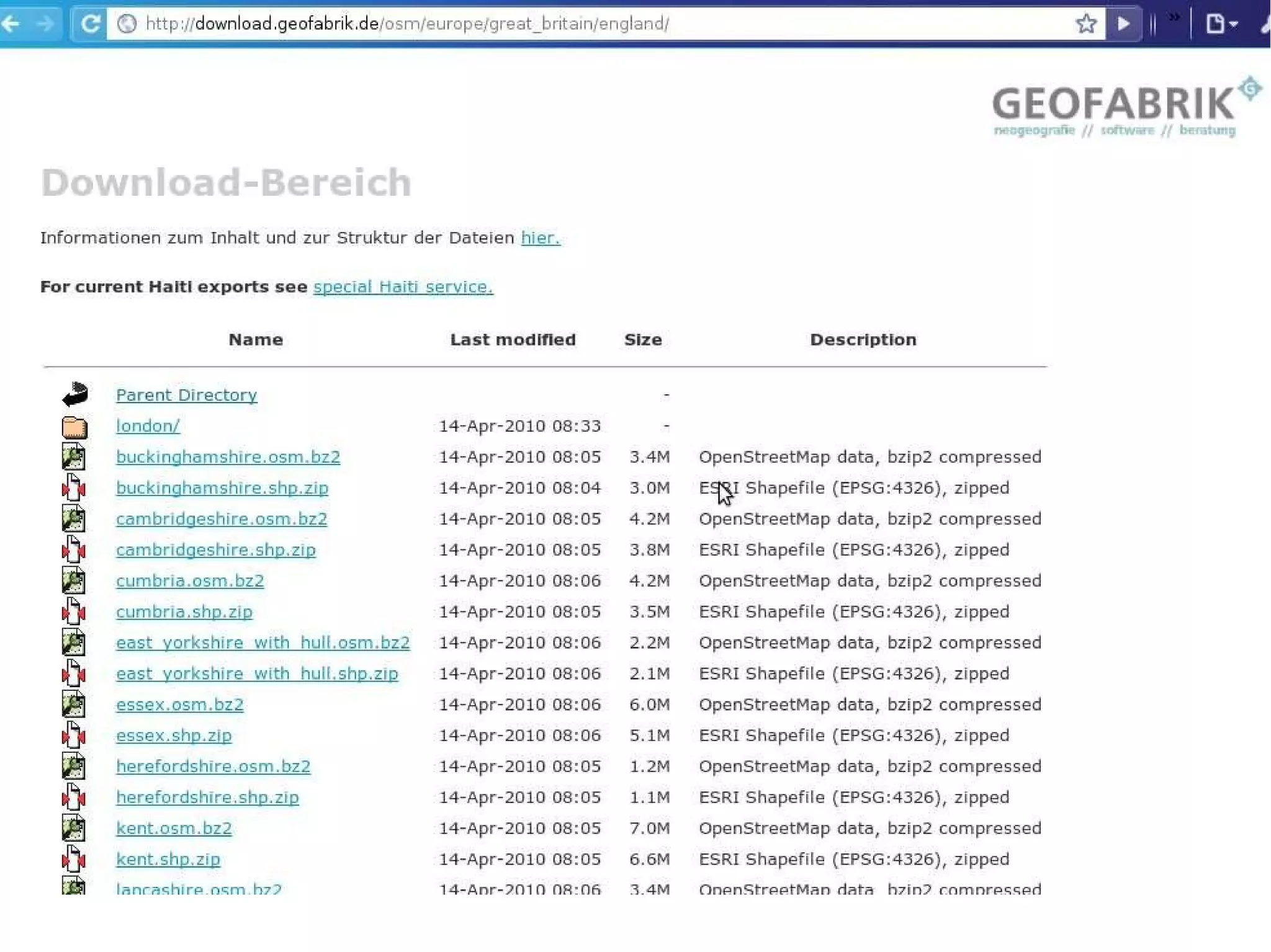
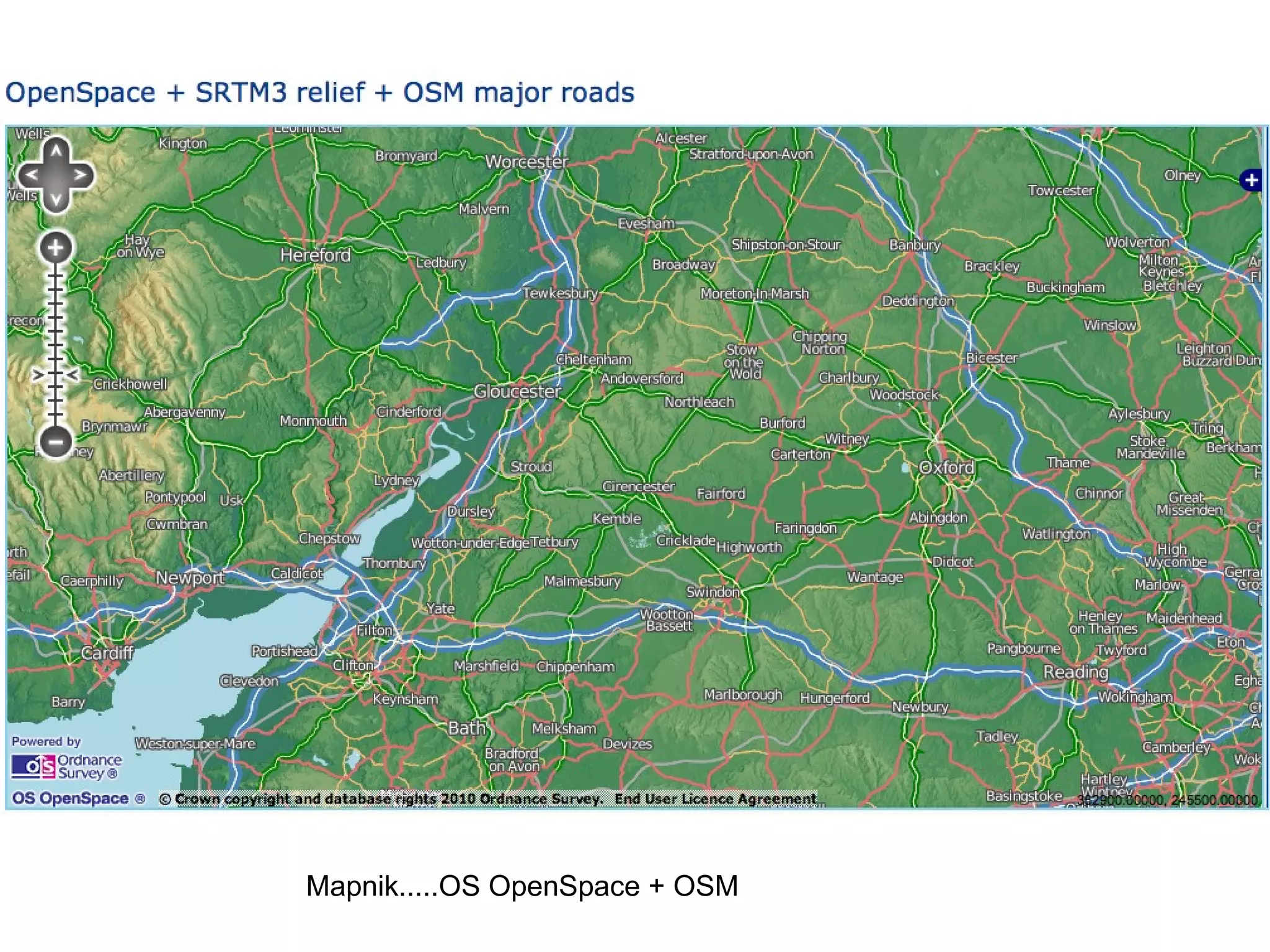
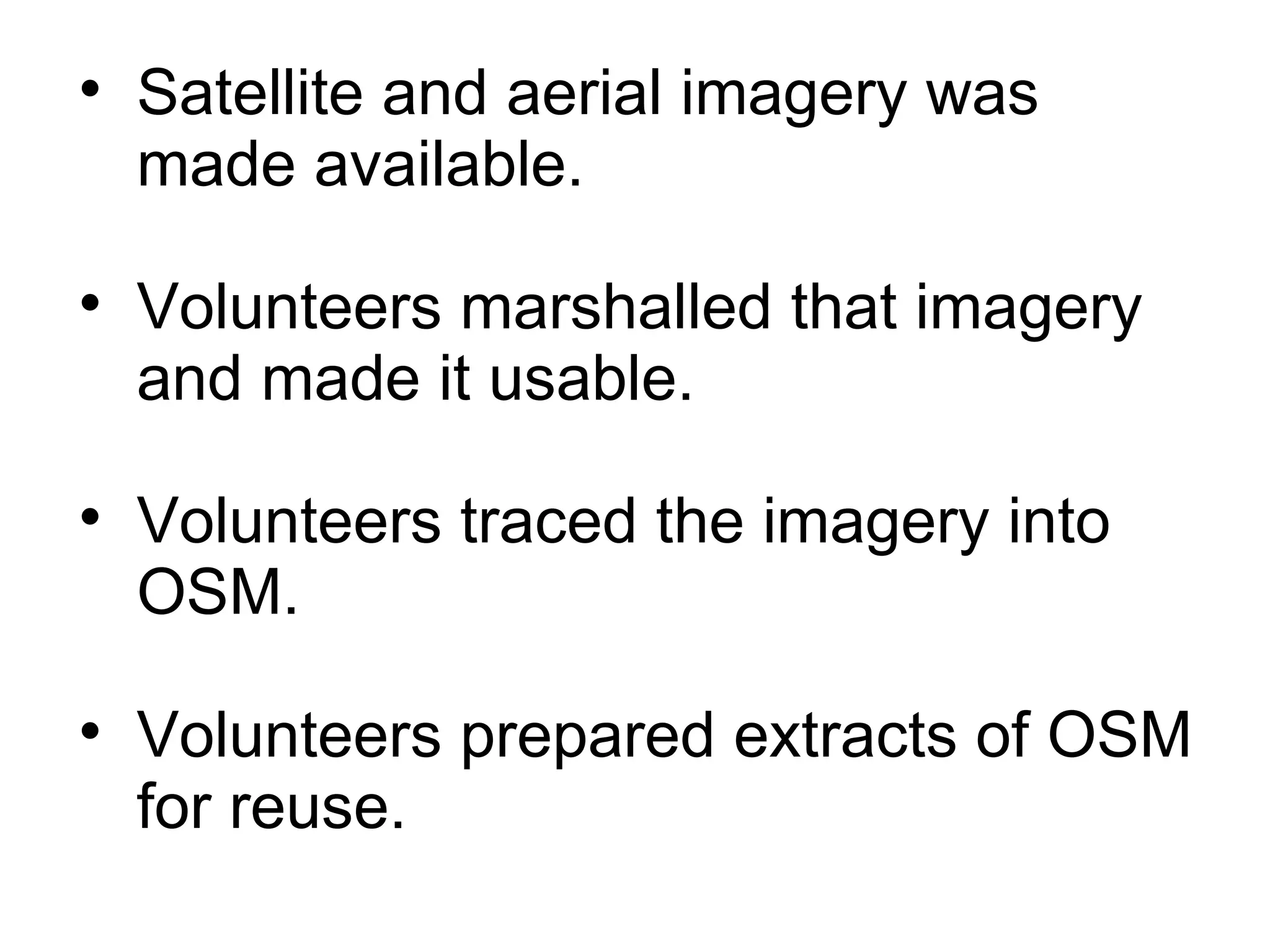
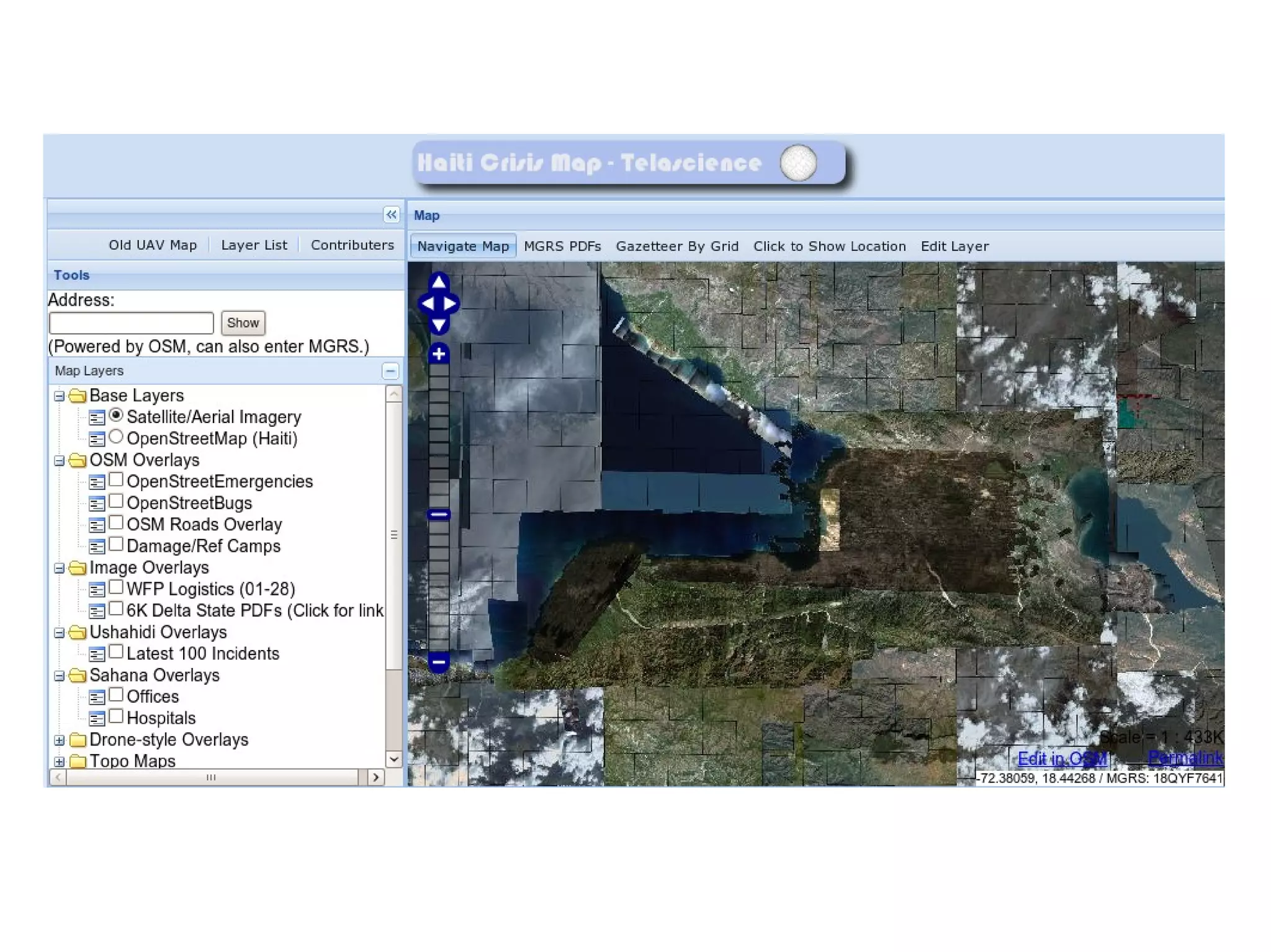
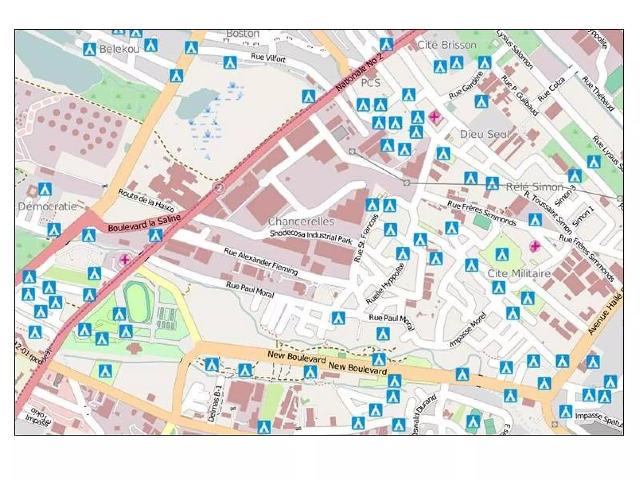
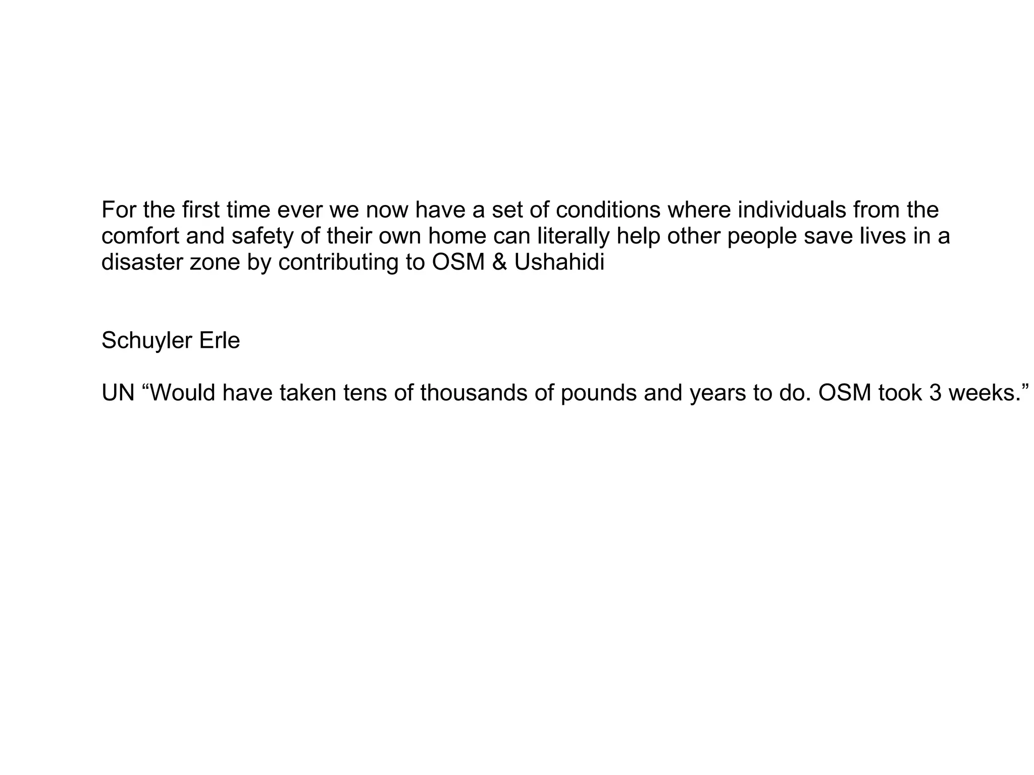
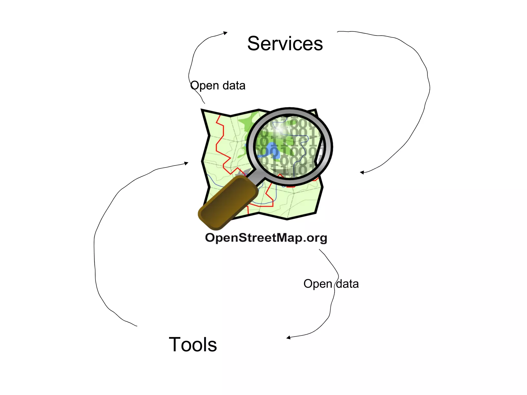
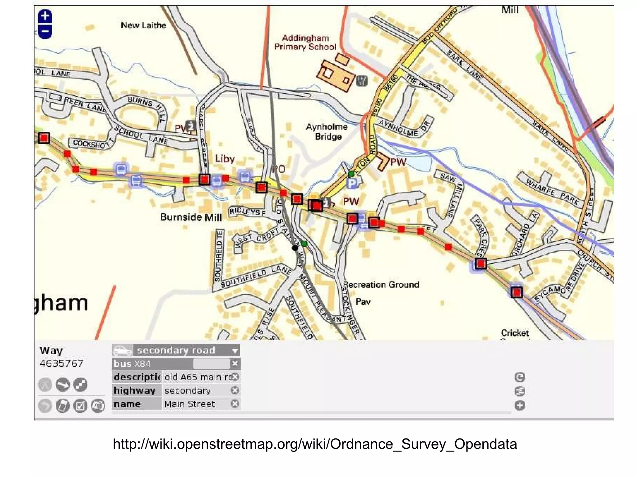
OpenStreetMap How to contribute and Use 15 April 2010 @tim_waters
What is OpenStreetMap? How to Use. How to contribute to. How to monitor and moderate changes. How to use externally. How it's changing things.
+ =
 
Tools Services Open data Open data Open data Open data people! people! people! people!
Coase's Penguin. Fun / rewarding Commons based peer production Small pieces 5 mins Easy to use these peices Yochai Benkler  ---->
 
 
240,000 users 14,000 classed as active OpenGeoData vs. closed data.
“ First they ignore you, then they laugh at you, then they fight you...
then you win
then we all win OS Streetview Meridian2 VectorMap District Boundary Line 1:50 000 Scale Gazetteer MiniScale CodePoint Open Strategi Land-Form PANORAMA 1:250 000 Scale Colour Raster OS Locator
http://www.flickr.com/photos/krislitman/493626935/
 
 
http://www.flickr.com/photos/92wardsenatorfe/3126055165/
 
 
Corunna, Spain  http://walking-papers.org/scan.php?id=cgqvsvtw
 
3 minutes http://www.youtube.com/watch?v=D6pBBK1SHh0 http://www.youtube.com/watch?v=D6pBBK1SHh0 THREE MINUTES
http://www.flickr.com/photos/sidereal/17380004/
 
 
http://www.flickr.com/photos/grandgrrl/3416944066/
http://www.flickr.com/photos/92wardsenatorfe/3126055165/
Reader & Writer
 
Others too! Cadcorp Manifold
http://www.flickr.com/photos/anonymous9000/2663311480/
 
Rss feeds of changesets


.shp Buildings Natural Places Points Roads Railways Waterways
WMS, WFS, TILES
 
 
http://maxspeed.osm.lab.rfc822.org/
Mapnik.....OS OpenSpace + OSM
Other Use – for Humanitarian purposes - for crisis mapping
HAITI What we did in Haiti changed disaster response forever.  Jeffery Johnson
Satellite and aerial imagery was made available. Volunteers marshalled that imagery and made it usable. Volunteers traced the imagery into OSM. Volunteers prepared extracts of OSM for reuse.


For the first time ever we now have a set of conditions where individuals from the  comfort and safety of their own home can literally help other people save lives in a disaster zone by contributing to OSM & Ushahidi  Schuyler Erle UN “Would have taken tens of thousands of pounds and years to do. OSM took 3 weeks.”
Tools Services Open data Open data Open data Open data
And people.
 
http://wiki.openstreetmap.org/wiki/Ordnance_Survey_Opendata
http://OpenStreetMap.org http://maps.nypl.org http://geothings.net http://thinkwhere.wordpress.com @tim_waters

OpenStreetMap Using, Tools, Services & Hows its changed Humanitarian Response