Download to read offline
![Open GeoData: And overview and practical introduction Richard Cantwell Principal www.geographic.ie [email_address] twitter.com/GeoGraphicIE](https://image.slidesharecdn.com/rcantwell-101212120437-phpapp02/85/Open-Geodata-DIT-December-2010-1-320.jpg)
![Open GeoData: And overview and practical introduction Richard Cantwell Principal www.geographic.ie [email_address] twitter.com/GeoGraphicIE](https://image.slidesharecdn.com/rcantwell-101212120437-phpapp02/75/Open-Geodata-DIT-December-2010-1-2048.jpg)
![Open GeoData: And overview and practical introduction Richard Cantwell Senior GIS Consultant www.gamma.ie [email_address]](https://image.slidesharecdn.com/rcantwell-101212120437-phpapp02/85/Open-Geodata-DIT-December-2010-2-320.jpg)
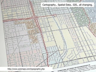
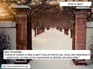
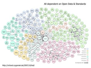
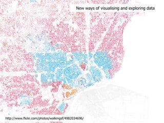
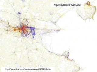
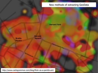
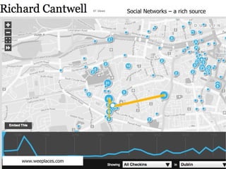

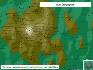

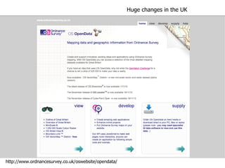
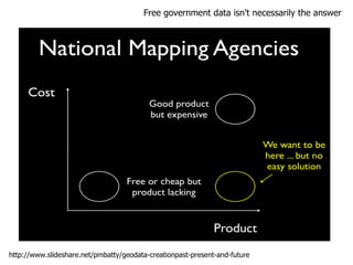
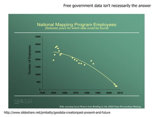


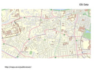

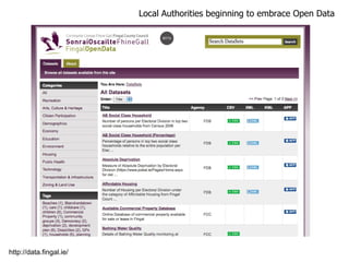
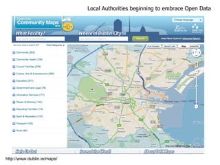
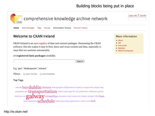
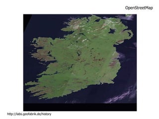
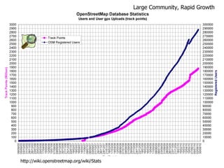
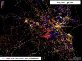
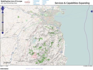
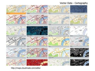
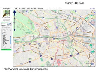
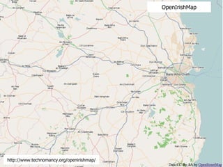
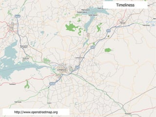
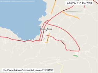
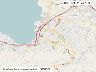
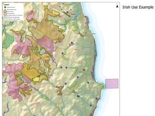
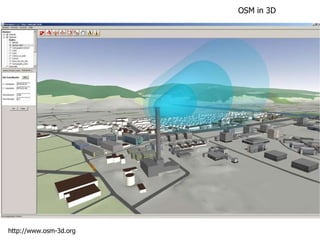
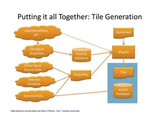

The document provides an overview of open geodata, highlighting the importance of open data and standards in geographical information systems (GIS). It discusses new technologies, methods, and sources for visualizing and extracting geodata, emphasizing community engagement and the integration of open data in local authorities. Additionally, it mentions various tools and platforms related to open geodata, including OpenStreetMap and augmented reality applications.


![[Databeers] 06/05/2014 - Boris Villazon: “Data Integration - A Linked Data ap...](https://cdn.slidesharecdn.com/ss_thumbnails/ld-databeers-140508020333-phpapp02-thumbnail.jpg?width=640&height=640&fit=bounds)


