Download as PPSX, PPTX

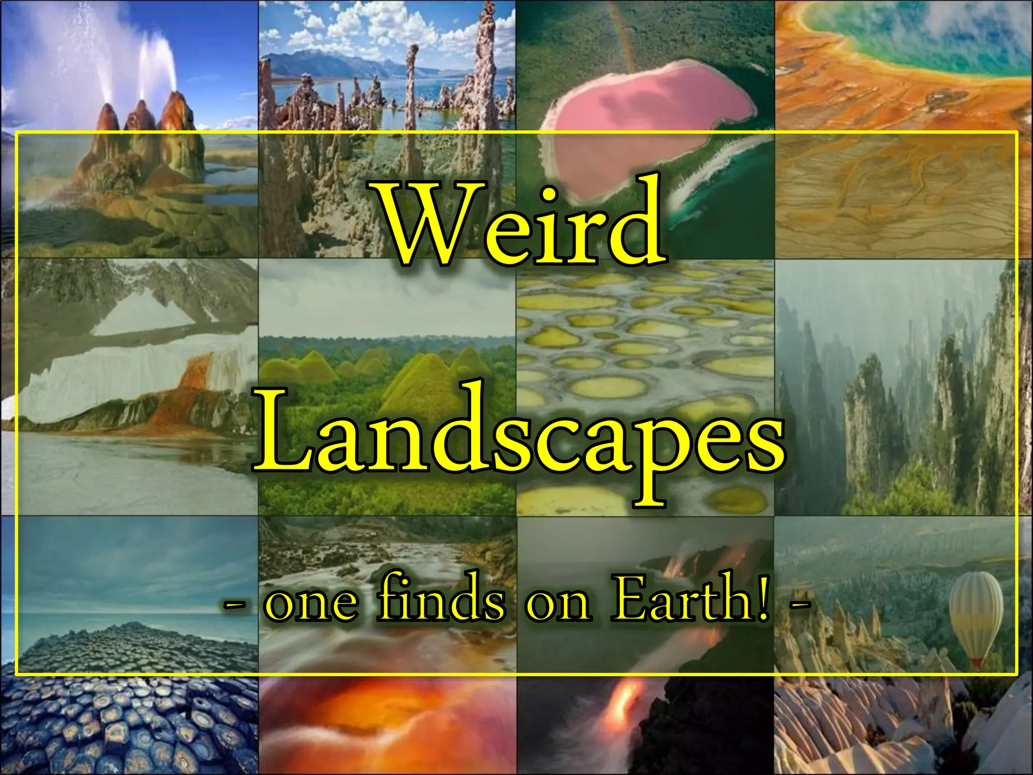
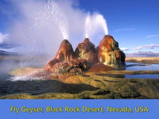
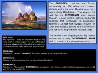
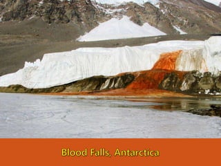

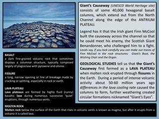
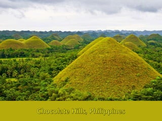
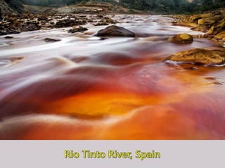

The document outlines various geological formations and phenomena, highlighting their origins and unique characteristics, including Fly Geyer's calcium carbonate deposits, Blood Falls in Antarctica, and the Chocolate Hills in the Philippines. It discusses the ecological importance of features such as Mono Lake's brine shrimp ecosystem and the thermophilic algae in Fly Geyer, and also notes significant human-influenced changes in locations like Rio Tinto. The text emphasizes the interaction between geological processes, ecosystems, and historical context, showcasing the diversity of Earth's landscapes.


