Download as PDF, PPTX
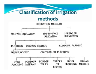
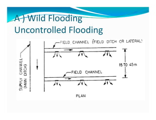
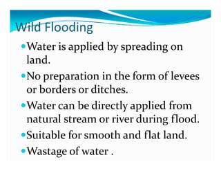

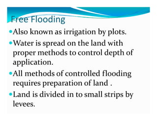
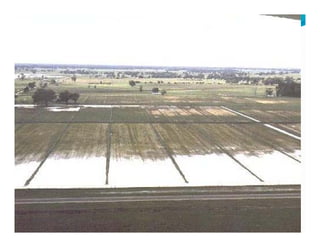
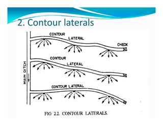
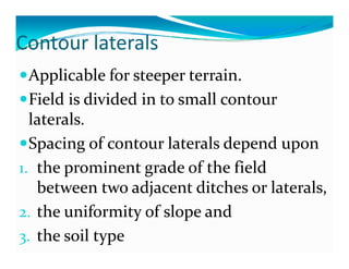
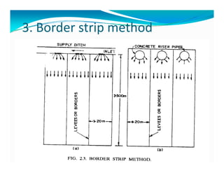
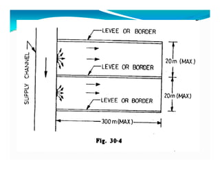
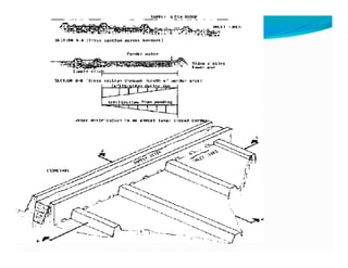

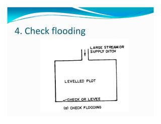
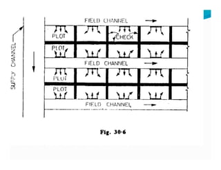
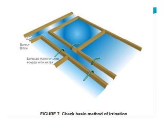
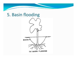
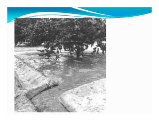
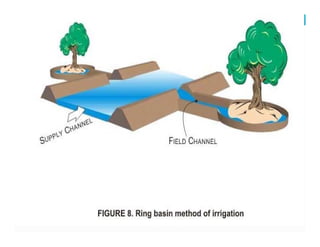
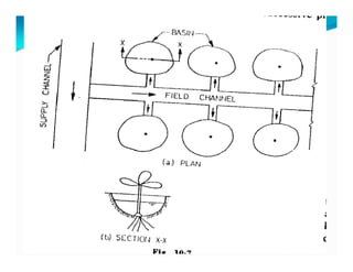
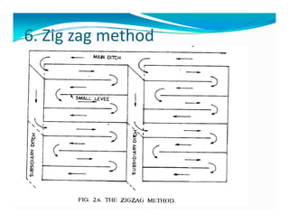
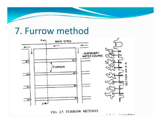
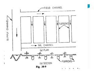
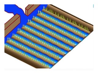
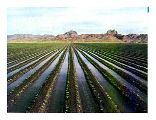
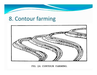
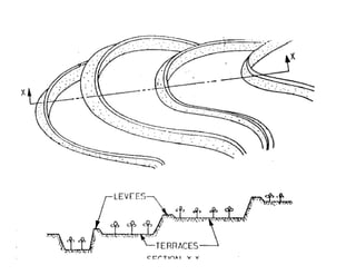
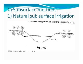
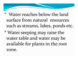
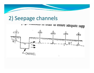


This document discusses various methods of irrigation classification. It divides irrigation methods into surface and subsurface categories. Surface methods include wild flooding, controlled flooding techniques like free flooding, contour laterals, border strip method, check flooding, basin flooding, zig zag method and furrow method. Subsurface methods discussed are natural subsurface irrigation, seepage channels and drip/trickle irrigation which will be covered in the next class. Common university exam questions on these topics are also provided.


